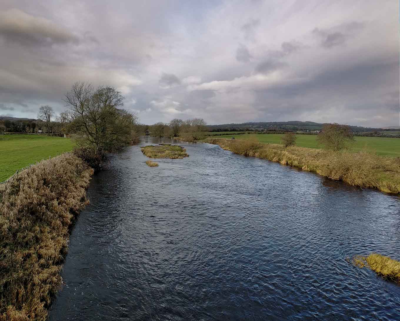
River Wharfe at Pool-in-Wharfedale by Arthur S
Pool-in-Wharfedale
Created: 16 November 2020 Edited: 29 November 2023
Pool-in-Wharfedale
Local History around Pool-in-Wharfedale
There are some historic monuments around including:
Rock with cup marks, rings and grooves near derelict grouse butt, 440m SE of triangulation pillar on Shooting House Hill, Askwith MoorCup, ring and groove marked rock south of track on Weston Moor 500m WNW of Weston Moor CottagePrehistoric enclosure, carved rocks and orthostat wall, Buck Wood, 195m west of football groundRock with at least 33 cup marks, some enclosed by grooves, at top of slope between fence and Snowden Beck in Ellers Wood, Dob Park, 600m NE of Midge HallRoman period native settlement in Danefield Wood, 490m south west of Stubbings FarmCup, ring and groove marked rock near gate in enclosed pasture on Snowden Carr, 350m south of Low Hill FarmCup and ring marked rock in Wharfemeadows Park, 280m west of Newall HallCup marked rock in Calverley Wood, 200m north east of junction of Calverley Cutting and Thornhill DriveRock with at least seven cup marks at edge of track on Stoop Hill, 890m SSE of triangulation point on Shooting House Hill, Askwith MoorRock with one large cup mark, 230m east of the triangulation pillar on Shooting House Hill, 610m SSW of Crag HouseCup marked rock near gate in enclosed pasture on Snowden Carr, 460m south west of Washburn FarmRock with single cup mark near south east edge of gas pipeline, Snowden Carr, 430m SSE of Crag House, Askwith MoorCarved rock near north east corner of the plantation on Weston Moor 550m north west of Weston Moor CottageGritstone pillar with three cup marks in the north pavement of the A65 at Horsforth, 440m south east of the roundabout at Low FoldRock with at least eight cups south of track on Weston Moor 480m WNW of Weston Moor CottageRoman period native settlement in Poolscar Wood, 350m south of Stubbings FarmTwo carved rocks south of derelict grouse butt, 840m SSW of Crag HouseCarved rock on Pelstone Crag 530m west of Danefield HouseRock with one cup mark and two short grooves, south of Snowden Beck in Ellers Wood, Dob Park, 570m south east of Carr FarmAnti-aircraft gunsite 280m east of Carlton HallRock with one or two cup marks near derelict walling below outcrop in enclosed pasture on Snowden Carr, 350m west of Carr FarmCup marked rock 42m west of gate near Dob Park Bridge, adjacent to track on south bank of River WashburnOtley BridgeCup, ring and groove marked rock in enclosed pasture on Snowden Carr, 500m south east of Crag HouseCairn 7m in diameter north of track east of plantation on Weston Moor 450m WNW of Weston Moor CottageCup, ring and groove marked rock, 400m west of Carr FarmRock with at least two cup marks south east of cairnfield on Snowden Carr, 720m SSE of Crag HouseCup and ring marked rock known as the Knotties Stone on Otley Chevin, 270m north east of The Royalty public houseStone hut circle settlement in Iveson WoodCairnfield, enclosures, boulder walling, hollow way and carved rocks towards edge of Snowden Carr centred at 370m south east of Crag HouseTwo cup marked rocks near track, 180m east of triangulation pillar on Shooting House Hill, Askwith MoorCairn 6m in diameter south of track east of plantation on Weston Moor 300m WNW of Weston Moor CottageTwo carved rocks south of Snowden Beck in Ellers Wood, Dob Park, 570m south east of Carr FarmA 17th century park lodge known as Dobpark Lodge in Dob Park, near OtleyMedieval farmstead in Ireland Wood, 150m north east of Cookridge HospitalCarved rock below Snowden Crags on Snowden Carr, 100m south of Crag HouseRock with five or more cups south of track on Weston Moor 300m WNW of Weston Moor CottageCup and ring marked rock 40m south east of Hillcourt, RawdonCup, ring and groove marked rock 15m from south wall of Gab Wood 300m east of Moseley Farm, CookridgeCup, ring and groove marked rock 2m south of north wall of Gab Wood 330m E of Moseley Farm, CookridgeRock with one cup mark, 290m S of Crag House, Askwith MoorCup and ring marked rock on Little Alms CliffRock with cup marks enclosed by grooves at north east end of ridge, south of Snowden Beck in Ellers Wood, Dob Park, 420m north of Low ParkRock with at least two cups and a groove east of the plantation on Weston Moor 450m north west of Weston Moor CottageStone hut circle settlement in Clayton Wood on the south west side of Iveson DriveCairnfield and carved rocks on Snowden Carr 670m south west of Low Hall FarmRock with large oval cup east of plantation on Weston Moor 830m WSW of Dob Park House FarmRock with at least 30 cup marks and some grooves near north east end of ridge, south of Snowden Beck in Ellers Wood, Dob Park, 400m north of Low ParkThree carved fragments of gritstone outcrop in enclosed pasture on Snowden Carr, 500m south west of Washburn FarmSmall cairnfield with carved rocks north of the plantation on Weston Moor centred 730m north west of Weston Moor CottageRock with one cup mark east of the plantation on Weston Moor 380m north west of Weston Moor Cottage.


