Piethorne Valley by munki-boy
Piethorne Valley
“The Gateway to the South Pennines”
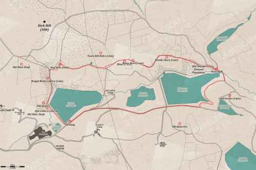
Piethorne Valley is an actively farmed area with three large reservoirs and a number of smaller ones. Piethorne Valley is easy to access with a number of hiking trails, moorland and woodland areas. The Pennine Bridleway also passes through the Piethorne Valley.
The history of the Piethorne Valley is mainly agricultural before the construction of the reservoirs that serve Rochdale and Oldham. Evidence for agriculture in the Piethorne area has been found to go back as far as the Bronze Age.
The landscape around Piethorne is based on sandstone beds formed in the carboniferous period then carved by glaciation into the hills we see today.
Piethorne Valley is a working landscape providing drinking water and is actively farmed. It is characterised by its three principal reservoirs, surrounding moors, enclosed farmland and isolated woodland areas. A network of footpaths and bridleways provides opportunities for peaceful recreation in an historic landscape.
Piethorne Valley History
Fourteen farms once worked the landscape before the construction of the reservoirs. Many of the reservoirs are named after former homesteads and the ruins can still be seen in the valley.
Farming activity dates back as far as the Bronze Age. Evidence of former industry such as coal mining and textiles also exist.
The sandstone hills and moorland seen today were shaped by the glacial activity of the last ice age.
The moorlands surrounding Piethorne provide and important upland habitat for birds, recognised in its designation as a Special Protection Area.
The enclosed fields, woodlands and reservoirs also provide habitats for a variety of wildlife.
Piethorne Valley Recreation
A network of footpaths and bridleways can be found within the valley, providing links to the Pennine Way and the wider South Pennine Moors. The Pennine Bridleway passes through the valley.
Route Finding Around Piethorne Valley
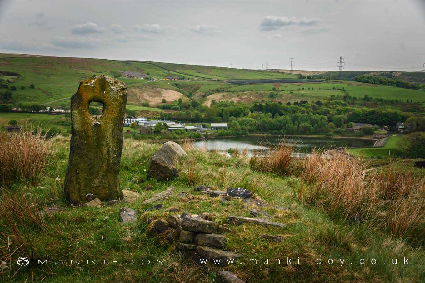
Route finding within the valley is assisted by stone waymarking posts engraved with arrows.
Created: 13 June 2018 Edited: 29 November 2023
Piethorne Valley
Piethorne Valley LiDAR Map
Contains public sector information licensed under the Open Government Licence v3.0
Walks in Piethorne Valley
Local History around Piethorne Valley
There are some historic monuments around including:
Castleshaw Roman forts, 250m west of Castle Shaw FarmWayside cross located on Slate Pit HillBlackstone Edge Roman roadEllenroad Ring MillBlackstone Edge Roman roadOxygrains packhorse bridge, RishworthBowl barrow 190m NNE of Knarr Barn.


