Piethorne Reservoir by munki-boy
Piethorne Reservoir
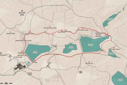
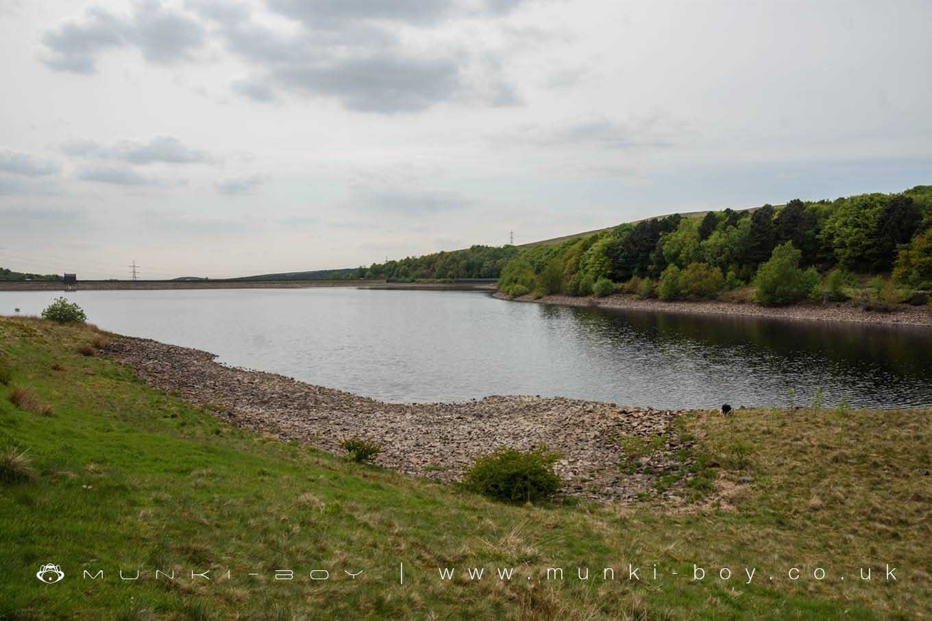
Piethorne Reservoir sits at the upper end of Piethorne Valley, with woodland walks on the North side and and paths round the shore to the East.
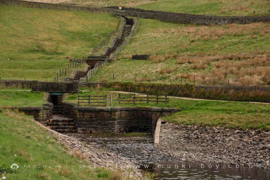
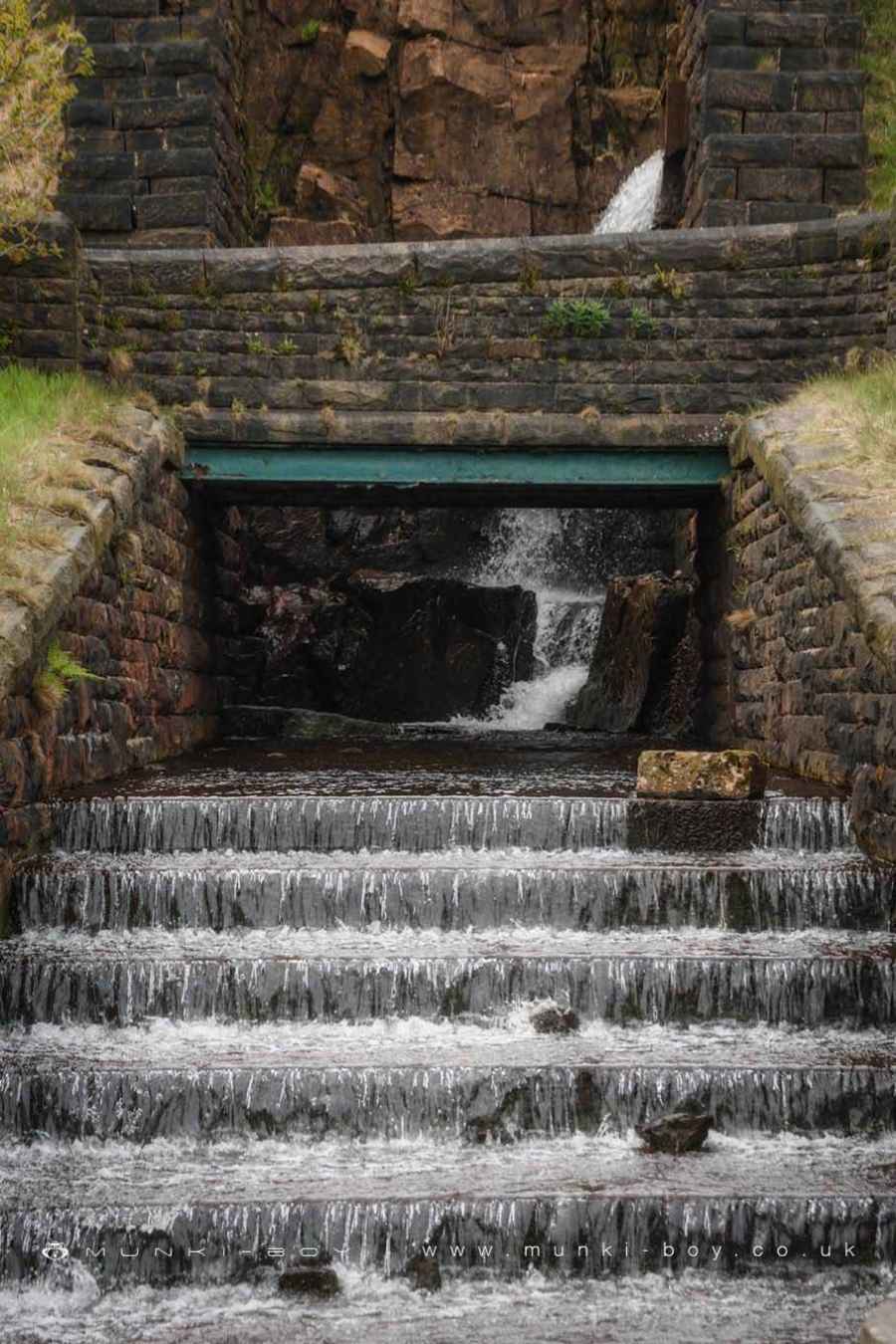
Piethorne Reservior has some rather interesting in-fall structures including a rather extravagant waterfall down from Norman Hill Reservoir to the Northeast and a strange syphon at the bottom of the feeder down from Rooden Reservoir.
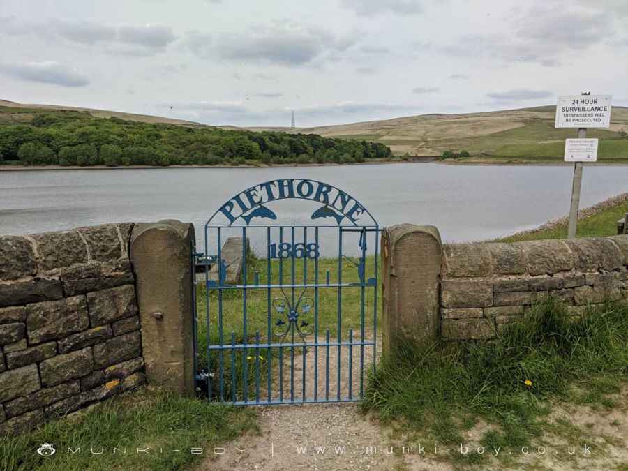
The gateposts at the Southwest corner of Piethorne Reservoir have an OS benchmark on the left when facing the water.
Created: 14 November 2018 Edited: 29 November 2023
Piethorne Reservoir Details
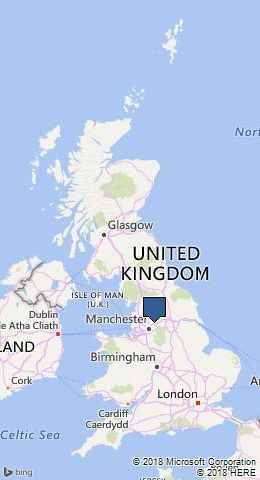
Piethorne Reservoir is a small freshwater lake in Greater Manchester, situated at an altitude of around 257 meters and is shallow.
The shoreline of Piethorne Reservoir is approximately 1.883 Kilometers all the way round.
- Altitude: 257 m
- Shoreline: 1.883 Km
- Depth: Shallow
Piethorne Reservoir
Walks in Piethorne Reservoir
Local History around Piethorne Reservoir
There are some historic monuments around including:
Wayside cross located on Slate Pit HillBlackstone Edge Roman roadBowl barrow 190m NNE of Knarr BarnBlackstone Edge Roman roadOxygrains packhorse bridge, RishworthEllenroad Ring MillCastleshaw Roman forts, 250m west of Castle Shaw Farm.Wildlife in and around Piethorne Reservoir
Piethorne Reservoir Birds
There are 196 species of birds recorded as found near Piethorne Reservoir.
| (Troglodytes troglodytes subsp. indigenus) |
| Arctic Tern (Sterna paradisaea) |
| Barn Owl (Tyto alba) |
| Bittern (Botaurus stellaris) |
| Black Swan (Cygnus atratus) |
| Alexandrine Parakeet (Psittacula eupatria) |
| Bar-Headed Goose (Anser indicus) |
| Barnacle Goose (Branta leucopsis) |
| Black Redstart (Phoenicurus ochruros) |
| Black Tern (Chlidonias niger) |
Tap here for more wildlife found near Piethorne Reservoir lake
