Penny Rigg Copper Mill by munki-boy
Penny Rigg Copper Mill
Penny Rigg Copper Mill is in The Lake District National Park in England.
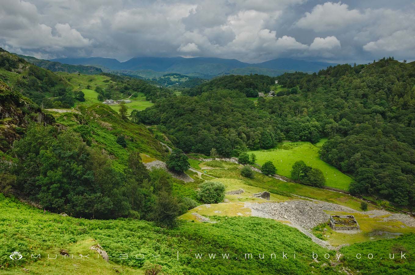
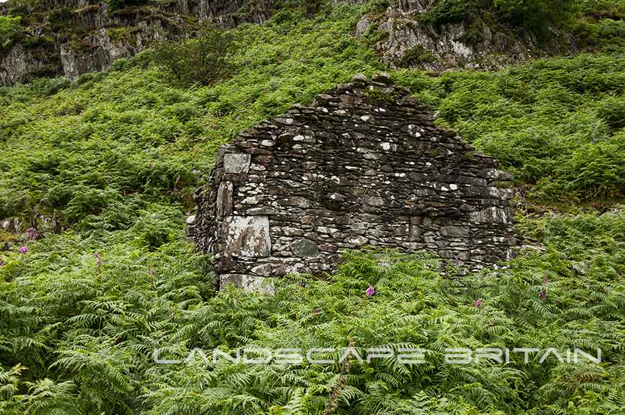
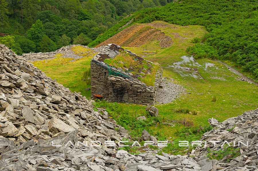
The remains of the old Penny Rigg Copper Mill overlooking Tilberthwaite.
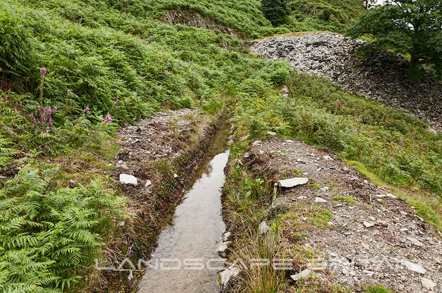
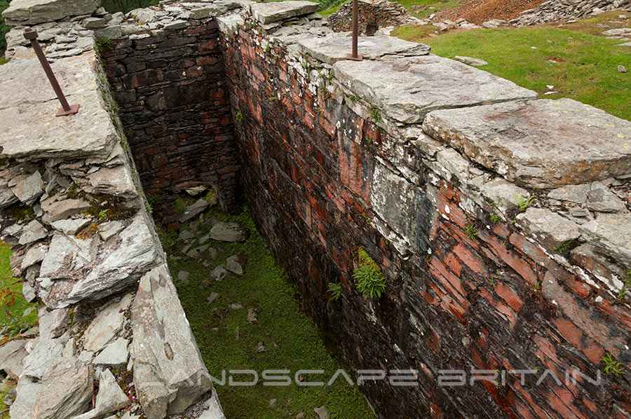
A slate and copper working site for the nearby mines with ruins and re-purposed buildings including an old smithy, powder store, water leat systems and a massive waterwheel pit surrounded by epic views.
The mines here were first properly driven into the hillside by the German Miners in the 16th Century although many were expanded with modern equipment later you can still find some of the old “coffin” levels with pick marks showing they were mined by hand.
Created: 27 November 2016 Edited: 29 November 2023
Penny Rigg Copper Mill
Penny Rigg Copper Mill LiDAR Map

Contains public sector information licensed under the Open Government Licence v3.0
Local History around Penny Rigg Copper Mill
There are some historic monuments around including:
The Langdale Boulders, two prehistoric rock art sites in Great Langdale 250m south of Harry PlaceRoman road in Wrynose BottomCastle Howe hillfort, Little LangdaleCairns on Foul ScrowRoman road up Wrynose PassMoot mound at Fell Foot Farm, Little LangdaleSeven Intakes medieval dispersed settlement 210m south west of Fell FootTwo rifle ranges on Silver HowTwo bloomeries, 340m and 570m NNE of Hoathwaite Landing on Coniston WaterMickleden Beck prehistoric cairnfield and field system, funerary cairn and a medieval dispersed settlement centred 840m south west of Pike of StickleCairns and enclosure on The Rigg, BanisheadDike, circles and cairns on Bleaberry HawsRifle Range target and Marker's Hut, 150m north west of Blea MossConiston copper minesLong Intakes medieval dispersed settlement and associated kiln 370m south of Fell FootYewdale lime kiln 380m south west of Low YewdaleGreenburn copper mines and associated ore processing worksRound cairn, 460m south west of Thompson Ground.