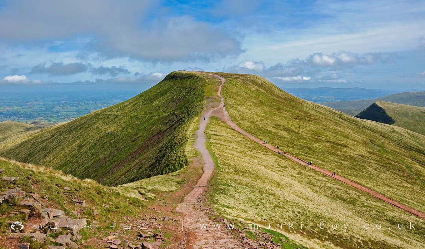
Pen Y Fan by munki-boy
Pen y Fan
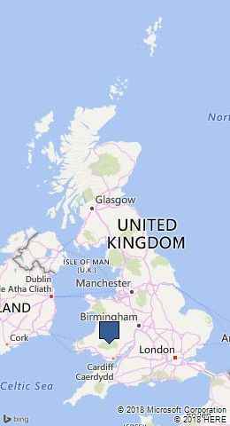
Pen y Fan is in Brecon Beacons National Park in The Wales.
At 886 metres (2,907 ft), Pen y Fan, translated as ‘The Mountain’s Peak’ or ‘The Beacon’s Summit’, is the highest peak in South Wales, situated in the Breacon Beacon’s National Park.
The summit is marked by a well preserved and structured Bronze Age cairn with a central stone cist. The cairn is fitted with a series of concentric stone kerbs to protect the central mound from slippage. The cist is a box formed by vertical stone slabs near the centre of the barrow, and it currently has the National Trust summit sign on it, but would have held the ashes or other remnants of a dead person or people. There would also have been grave goods left with the human remains, such as flint tools, cinerary urns and flower tributes.
Pen y Fan is formed from Old Red Sandstone, which were laid down during the Devonian period. The upper slopes of the mountain are formed from those of the Brownstones Formation, whilst the lower slopes are formed from the sandstones and mudstones of the Senni Formation. The summit, like that of neighbouring Corn Du, is composed of hard-wearing sandstones of the Plateau Beds Formation.
Created: 5 September 2016 Edited: 29 November 2023
Pen y Fan Details
Pen y Fan is a 886 metre high mountain in Powys.
Pen y Fan
Pen y Fan LiDAR Map
Contains public sector information licensed under the Open Government Licence v3.0
Local History around Pen y Fan
There are some historic monuments around including:
Town Wall and Gatehouse at Captain's WalkY Gyrn hut platform (N) Craig Cerrig-Gleisiad Deserted Rural Settlement Brecon CastleTwyn Garreg Wen Cairn Waun Tincer round cairn Bedd Gwyl Illtyd round cairn Ton Teg Hut Settlement St Eluned's Chapel and Well Two Cairns on Traeth Mawr Lower Neuadd Standing Stone Blaen Glyn Round Cairn Brecon BridgeTown Wall at Watton MountEnclosure West of Nant Cwm Llwch Cross-Slab in Churchyard Cefn Esgair-Carnau round cairn (S) Storey Arms Anti-invasion Defences Cefn Esgair-Carnau round cairn (N) Slwch CampLlwyn-on Farmstead Y Gyrn hut platforms Cefn Esgair-Carnau round cairn and long hut Craig Cerrig-Gleisiad Prehistoric Settlement Rhyd Uchaf Hillfort Cwm Cwareli Longhouse and Long Hut Afon Hepste Settlement Enclosure Cefn Esgair-carnau Burnt Mound Earthwork 675m W of Dan-y-Cefn Waunfaeog Hillfort Twyn-y-Gaer Cilwhybert Castle Mound Y Gyrn Hut Platform (S)Plas-y-Gaer Camp Standing Stone on Mynydd Illtyd Roman Road on Mynydd Illtyd, North-Eastern section Y Gyrn longhuts .


