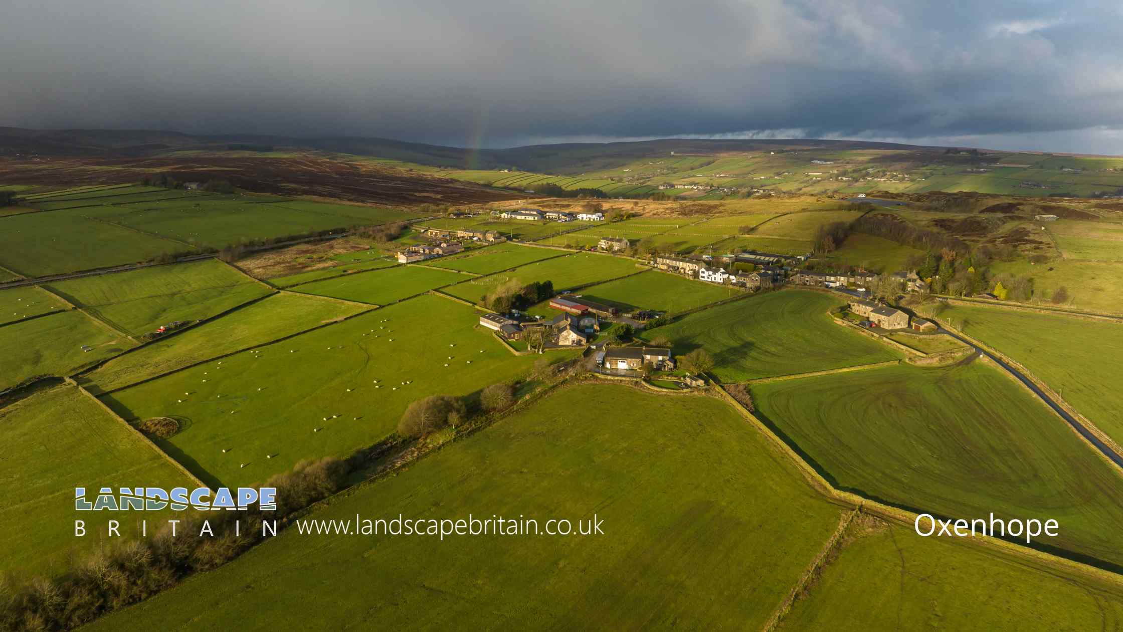
Oxenhope by halbergman
Oxenhope
Oxenhope is a picturesque village situated in the heart of West Yorkshire, within the Metropolitan Borough of Bradford. Nestled amongst the Pennine hills, this quaint village is part of the Brontë Country, named after the famous literary sisters who once lived in nearby Haworth. Oxenhope’s natural beauty, characterised by its rolling landscapes, verdant meadows, and stone-built houses, makes it a popular destination for walkers, cyclists, and those seeking a tranquil escape from urban life.
The village has a rich history, with its roots dating back to the medieval period. Over the years, it has seen the rise and fall of industries such as wool and textiles. The Keighley and Worth Valley Railway, a heritage steam railway line, terminates in Oxenhope, offering visitors a nostalgic journey through the scenic Worth Valley. The annual Oxenhope Straw Race, a unique event involving teams carrying bales of straw over a challenging course, is a testament to the village’s vibrant community spirit and its fondness for maintaining local traditions.
In addition to its historical and natural attractions, Oxenhope boasts a range of local amenities, including pubs, shops, and community centres. The proximity to other attractions in Brontë Country, such as the Brontë Parsonage Museum in Haworth, means that visitors to Oxenhope often take the opportunity to explore the wider region. Overall, Oxenhope stands as a testament to the enduring charm of English villages, combining historical significance with natural beauty and a warm community spirit.
Created: 26 August 2023 Edited: 29 November 2023
Oxenhope
Local History around Oxenhope
There are some historic monuments around including:
Cup marked rock on north side of barn, 100m north west of the Grey Stones FarmCairn with an oval bank on Midgley Moor, 430m north east of Upper Han RoydEnclosed Bronze Age urnfield 440m north west of Rough Bottom on Midgeley MoorLate prehistoric enclosed settlement 350m south west of Goose Clough at Hunter Hill, OvendenRock with at least six cups 170m north west of Grey Stones FarmLate prehistoric enclosed settlement known as Castle Stead RingWayside cross known as Tinker CrossLate prehistoric enclosed settlement 500m north west of Goose Clough on Ovenden MoorThe old bridge over the Hebden Water at Hebden BridgeRing cairn on Midgley Moor, 360m north east of Upper Han RoydCup marked boundary stone known as Churn Milk Joan on Crow Hill, Midgley Moor, 580m north of Foster Clough BridgeOld Church of St Thomas Becket, 210m north east of Daisy Field FarmCairn on Midgley Moor, 400m north east of Upper Han RoydCairn known as Millers Grave on Midgley MoorEnclosed Bronze Age urnfield 160m west of Overgreen Royd Farm, MixendenWayside cross known as Abel Cross.


