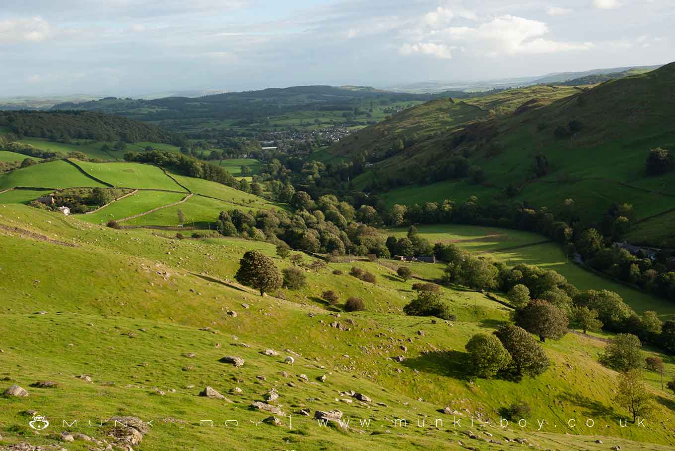
Over Staveley by munki-boy
Over Staveley
Over Staveley is in The Lake District National Park in England.
Over Staveley, is a remarkable landscape characterized by its serene natural beauty and its position within the River Kent valley. This region, while known for its quaint villages, is primarily celebrated for its stunning natural surroundings that typify the beauty of the English countryside, particularly in the Lake District area.
The River Kent, meandering through this region, is a defining feature of the landscape. Originating in the Lake District and flowing through the Kentmere Valley, the river adds a dynamic and picturesque element to the area. The Kentmere Valley, in particular, is a gem within this region, known for its unspoiled rural charm and scenic walking paths that offer breathtaking views of the river and surrounding hills.
This part of Cumbria is marked by a diverse range of landscapes, from rolling hills and lush woodlands to open farmlands and tranquil riverbanks. The terrain is a patchwork of natural habitats, making it a haven for wildlife and a popular destination for birdwatchers and nature enthusiasts. The presence of the River Kent contributes to the rich biodiversity of the area, supporting a variety of plant and animal species.
Hiking and walking are among the most popular activities in Staveley with Ings Parish. The numerous trails and footpaths provide visitors with an intimate experience of the countryside, allowing them to explore the natural beauty at their own pace. The walks range from gentle strolls along the river to more challenging hikes up the fells, catering to all levels of outdoor enthusiasts.
Furthermore, the landscape of this area is deeply intertwined with its cultural heritage. The traditional farming practices and rural lifestyles of the local communities have shaped the land over centuries. This historical connection is evident in the stone walls, ancient farms, and old mills that dot the landscape, adding a sense of timelessness to the area.
For those interested in water-based activities, the River Kent and its tributaries offer opportunities for fishing, especially trout and salmon fishing, which are popular in this region. The river’s varying flow and natural features create ideal conditions for anglers.
Over Staveley, is a captivating landscape within the valley of the River Kent in Cumbria. It stands out for its natural beauty, diverse wildlife, and opportunities for outdoor recreation, all set against a backdrop of rich cultural heritage and traditional rural life. This region is a testament to the enchanting allure of the English countryside, particularly within the Lake District.
Created: 29 December 2023 Edited: 5 January 2024
Over Staveley
Over Staveley LiDAR Map
Contains public sector information licensed under the Open Government Licence v3.0
Local History around Over Staveley
There are some historic monuments around including:
Medieval shieling 150m west of Trout BeckLow Kingate concentric stone circleRomano-British settlement, 450m east of High BorransRound cairn 15m east of Hagg GillTower of ruined chapel of St MargaretRound cairn 250m south-south-west of Bluegill FoldRound cairn 60m east of Hagg GillSouthern round cairn on north end of The Tongue, Troutbeck ParkSettlement 440yds (400m) N of Cunswick HallNorthern round cairn on north end of The Tongue, Troutbeck ParkRound cairn 200m south-south-west of Bluegill FoldRound cairn 75m east of Hagg GillSettlement on W slope of The Tongue, Troutbeck ParkElfhow potash pitMedieval shieling 640m north of Troutbeck Park FarmSlight univallate hillfort on Allen KnottMedieval shieling 100m west of Trout BeckRound cairn 80m east of Hagg GillMillrigg Romano-British enclosed hut circle settlementTower of ruined church of St CatherineRomano-British enclosed stone hut circle settlement and Romano-British farmstead north west of Tongue House Barn..


