Old Rachel's (ruin) by munki-boy
Old Rachel's (ruin)
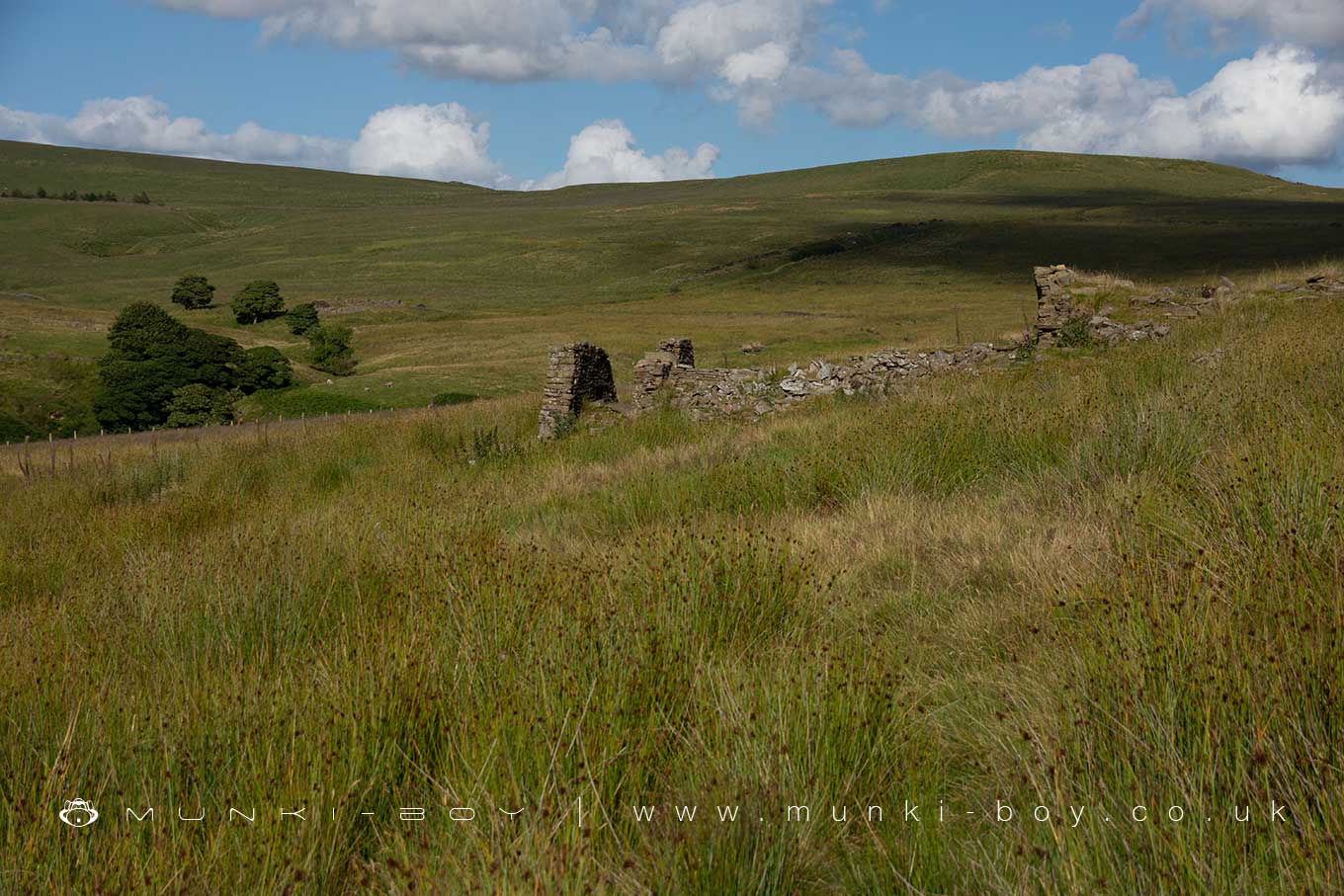
A ruined farm dating to around the start of the 19th Century or earlier.
Created: 13 June 2023 Edited: 29 November 2023
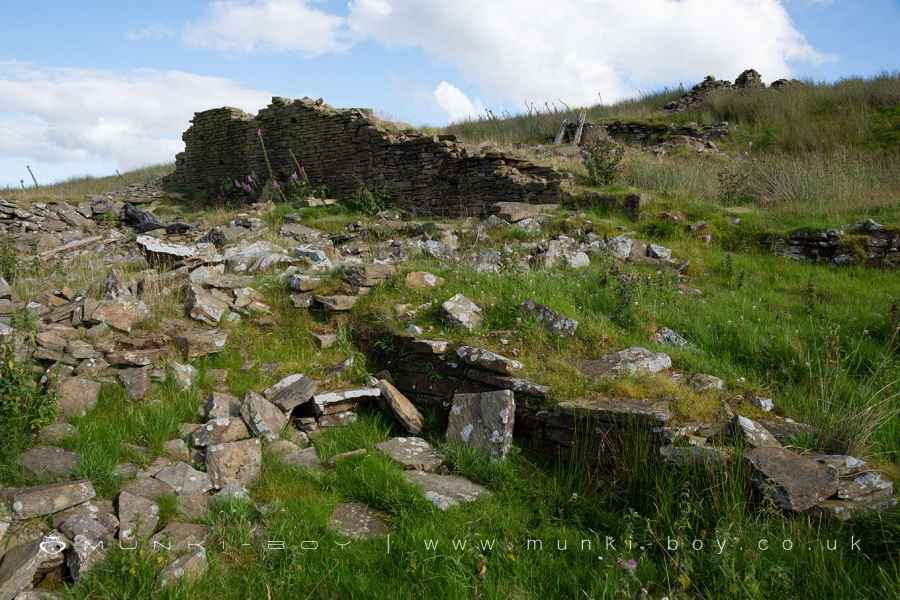
Ruined walls at Old Rachel's
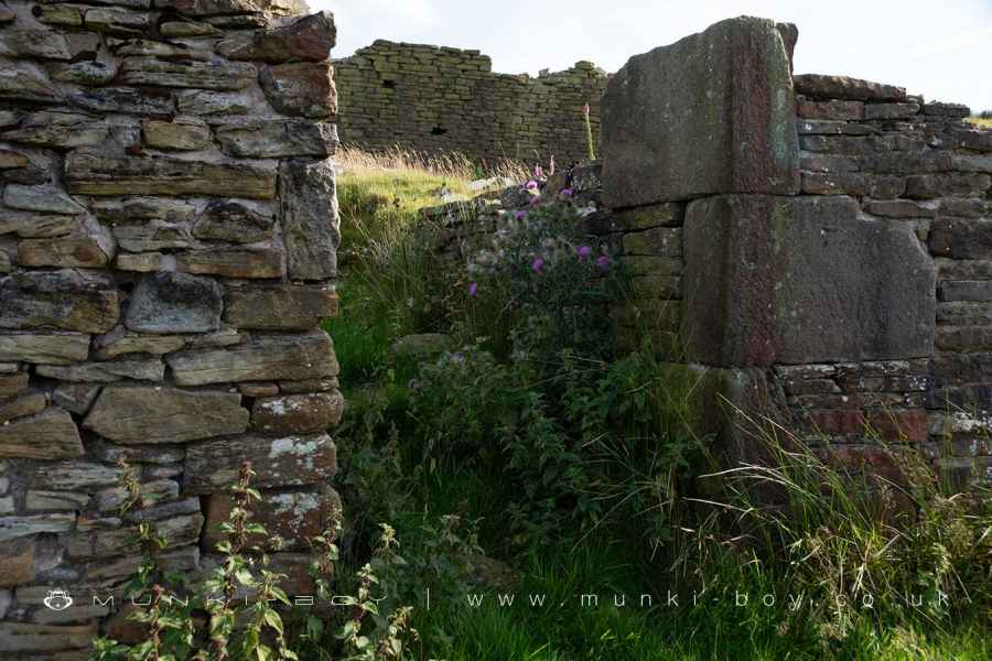
Doorway at Old Rachel's
Old Rachel's (ruin)
Old Rachel's (ruin) LiDAR Map
Loading LiDAR
please wait...
please wait...
Contains public sector information licensed under the Open Government Licence v3.0
Local History around Old Rachel's (ruin)
There are some historic monuments around including:
Round cairn 280m west of Old Harpers FarmRound cairn on Noon HillRound cairn on Winter HillBretters Farm moated site and two fishpondsThe Moat House moated site 600m WNW of St David's ChurchRound Loaf bowl barrow on Anglezarke MoorHeadless Cross, GrimefordPike Stones chambered long cairn.


