Old Hills by munki-boy
Old Hills
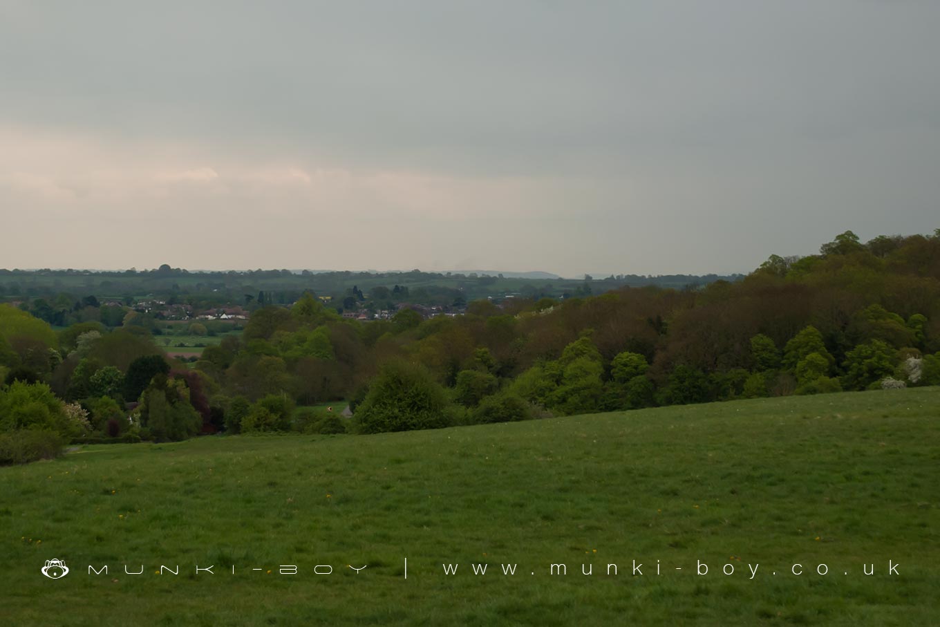
A hiking and nature area with views across to the Marlvern Hills.
Created: 20 June 2021 Edited: 29 November 2023
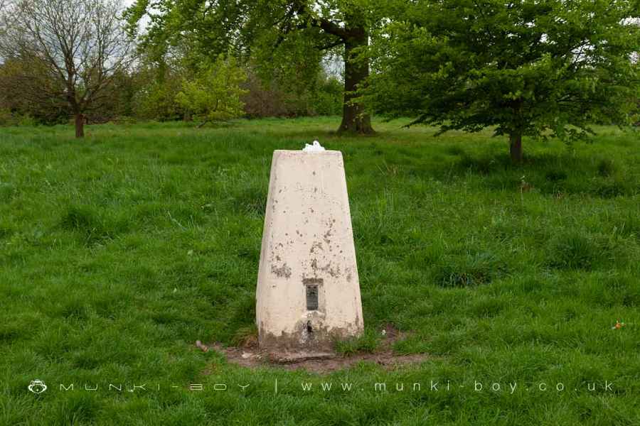
Trig Point on Old Hills
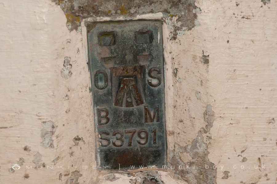
Old Hills Trig Point Plate
Old Hills Details
Old Hills is a 66 metre high hill in Worcestershire.
Old Hills
Old Hills LiDAR Map
Loading LiDAR
please wait...
please wait...
Contains public sector information licensed under the Open Government Licence v3.0
Local History around Old Hills
There are some historic monuments around including:
Edgar Tower entrance to the Cathedral CloseDisc barrow 400m south of Common FarmBoundary cross 50m NW of Northend CottageWestern range of monastic buildings of the Cathedral PrioryCity walls: section extending 130ft (40m) from the back of No 27 New Street to Windsor RowCruck Barn at Leigh Court FarmMoated site 150m east of St Nicholas' ChurchMoated monastic grange and fishpond complex at Middle Battenhall Farm, 450m north of Upper Battenhall FarmChurchyard cross in St Denys's churchyardDisc barrow 500m south of Common FarmCity walls: section extending 280ft (90m) W and SW of Clare StreetChurchyard cross in St Mary the Virgin's churchyardCity walls: section extending 90ft (30m) under the E walls of Nos 2-5, No 1 Court, New StreetCivil War fieldwork at Tamar Close, WorcesterFort RoyalCity walls: section S of The Butts, extending 150ft (50m) between Angel Place and Bath CottageWorcester city centreCity walls: section extending 50ft (15m) between Windsor Row and Nash's PassageCity walls: section extending 85ft (30m) along W side of Talbot StreetMoated site at Earl's CourtRemains of Guesten HallSt Alban's ChurchRingwork known as Hanley Castle 520m south of the Church of St. MaryCity walls: section S of The Butts, extending 100ft (30m) E from Rack AlleyPowick BridgeBoundary cross at entrance to Quay LaneRefectory of St Mary's Priory in Cathedral CloseMotte and bailey castle at Castle GreenDisc barrow 400m SSE of Common FarmMoated site at Sherrard's GreenCity walls: section extending 130ft (40m) between Charles Street and Portland Place.


