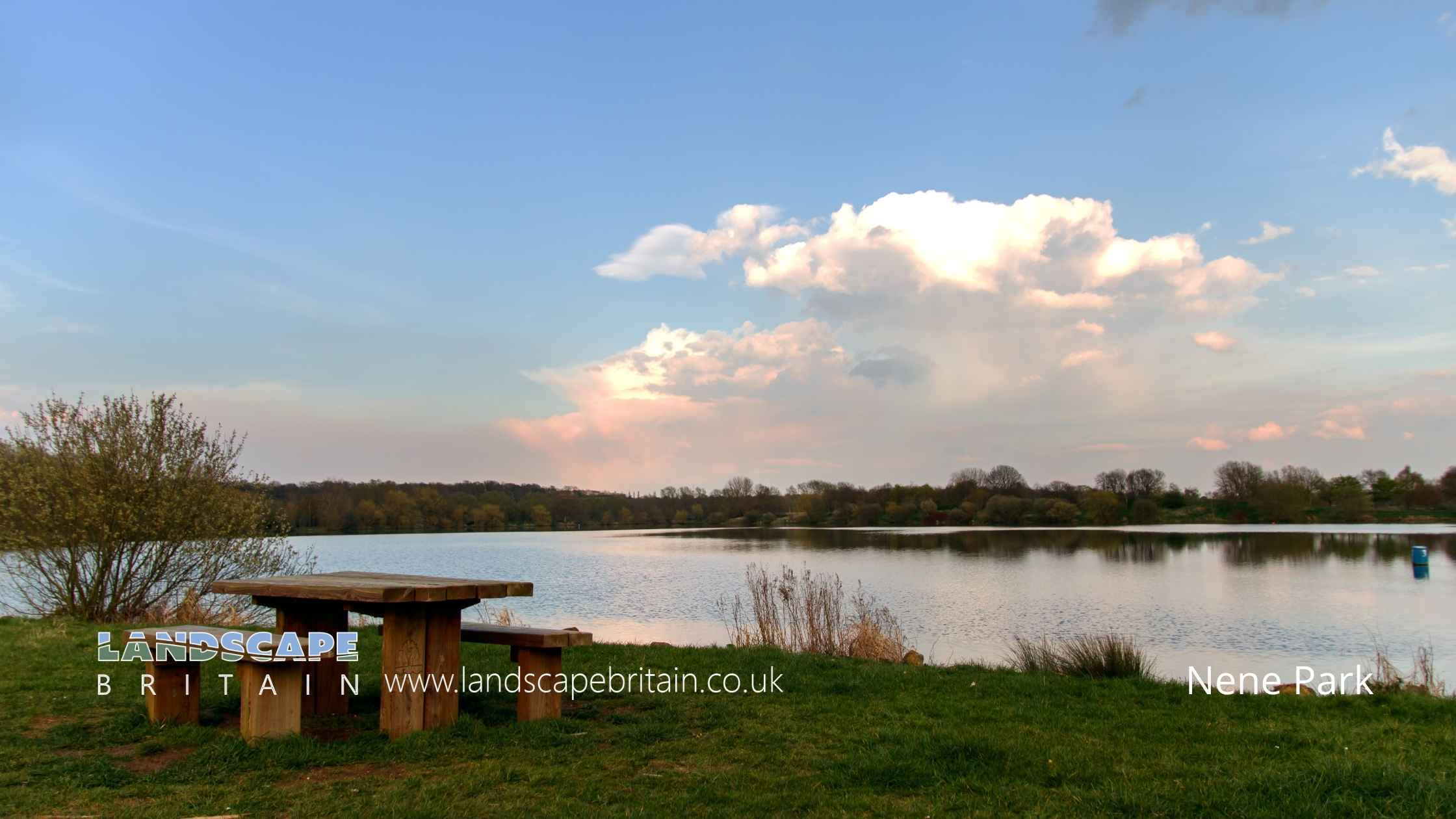
Nene Park
Nene Park
Nene Park is a country park in Peterborough, Cambridgeshire, England. The park is on the site of the former Ferry Meadows pit, which was part of the Nene Valley Coalfield and closed in 1992. The park covers 750 acres (304 ha) of largely reclaimed gravel pits and meadows along the River Nene.
The park is managed by Peterborough City Council and includes a number of facilities including: a visitor centre, cafe, children’s play area, cycle hire, water sports centre, and two golf courses. There are also a number of walking and cycling routes through the park.
Nene Park is home to a variety of wildlife including: otters, water voles, kingfishers, swans, geese, and ducks.
The park also has a number of ancient trees, some of which are over 400 years old.
Nene Park was designated as a country park in 1992 and is open to the public all year round.
Created: 11 August 2022 Edited: 29 November 2023
Nene Park Information
Nene Park Address
Ham Farm House, Ham Ln, Peterborough PE2 5UU, UK
PE2 5UU
Website: http://www.neneparktrust.org.uk/ferry-meadows
Get directionsLocal History around Nene Park
There are some historic monuments around including:
Castor village Roman sitesLongthorpe Tower: part of a medieval fortified house 90m west of St Botolph's ChurchRomano-British settlement SE of Orton LonguevilleMoated site, Castor Manor FarmOtter Pond: moated site 200m west of Dewemede FarmEarthworks of deserted medieval villageRound barrow cemetery 330m east of Linden LeaSettlement areas SW of Orton LonguevilleRoman house N of Castor MillsFerry BridgeRoman villa SW of Castor stationSettlement SE of Orton WatervilleRoman fort and enclosure at Sutton CrossBowl barrow 450m north east of Water Newton MillLongthorpe Roman fort and settlementPeterborough Cathedral Precincts, including Table Hall and Infirmary ArcadeThree bowl barrows 390m north west of The FirsShrunken village at UptonRoman barrow 380m north of Hill FarmRoman site in Normangate FieldSite of the Norman Cross Depot for Prisoners of WarSection of the Car Dyke between Whitepost Road and Fen BridgeTouthill and site of castle baileyLongthorpe village crossSettlement W of boathouse, River NeneMound at Langdyke BushOld Customs HouseThe fort and Roman walled town of Durobrivae and its south, west and east suburbs, immediately south and east of Water Newton VillageSite of Roman villa NE of Sibson HollowRoman villa N of Oxey WoodLynch Farm complexThe Standing Stones 'Robin Hood' and 'Little John'.


