Musbury Heights by munki-boy
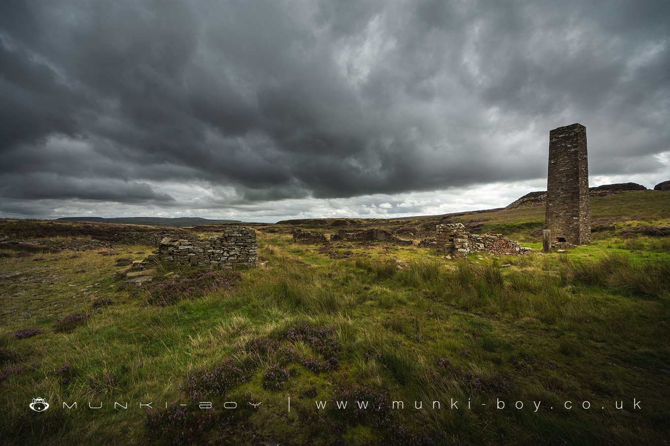
Musbury Heights
A steep-sided plateau overlooking Haslingden Grane with an old disused quarry and numerous building ruins.
Created: 29 December 2019 Edited: 29 November 2023
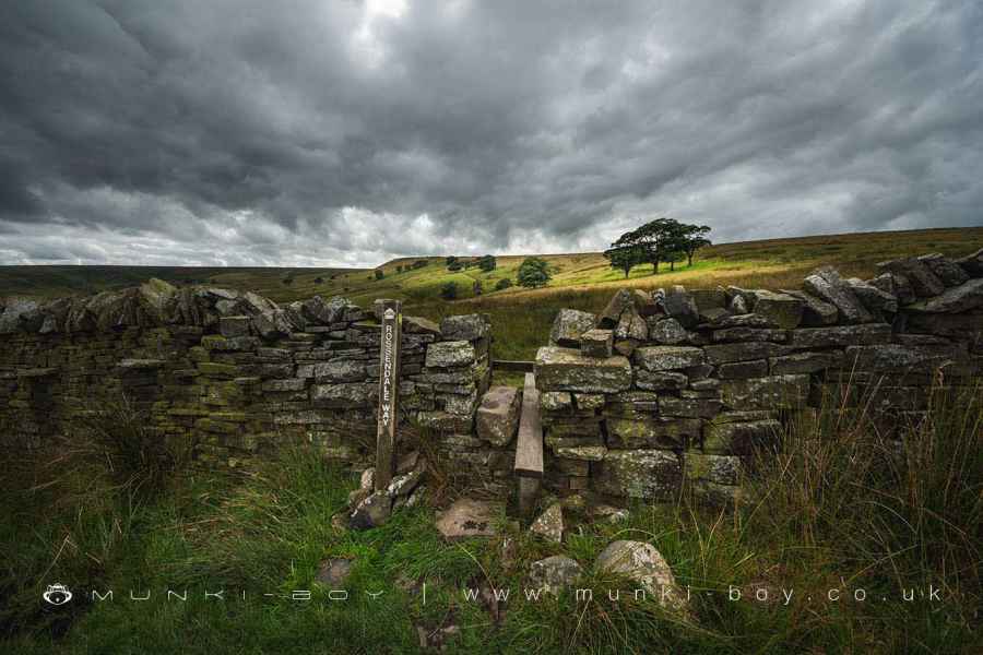
The Rossendale Way on Musbury Heights
Musbury Heights
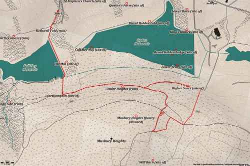
Musbury Heights LiDAR Map

Contains public sector information licensed under the Open Government Licence v3.0
Walks in Musbury Heights
Local History around Musbury Heights
There are some historic monuments around including:
Stone circle, ring cairn and two round cairns on Cheetham CloseRemains of Aspen Colliery, associated beehive coking ovens and canal basinHigher Mill, HelmshoreCoking ovens and associated coal workings on Aushaw Moss 450m south west of Lower HouseRoman road at Bottom o' th' Knotts Brow.