Moel Llys-y-Coed by munki-boy
Moel Llys-y-Coed
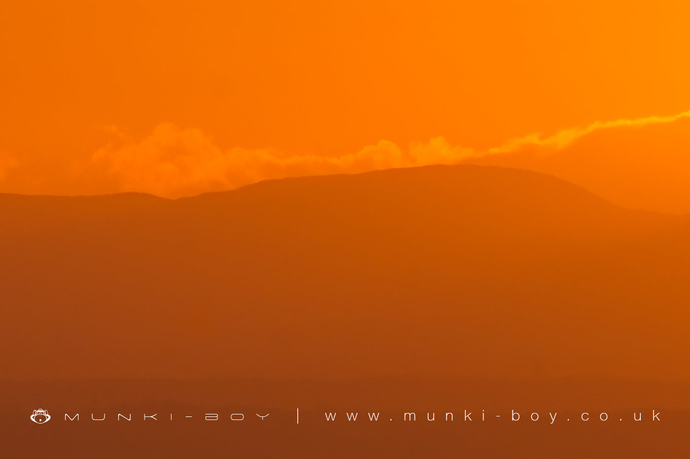
A hill on the Clwydian Range overlooking the ancient hillfort of Moel Arthur.
Created: 28 March 2021 Edited: 29 November 2023
Moel Llys-y-Coed Details
Moel Llys-y-coed is a 465 metre high hill in Flintshire (Sir y Fflint).
Moel Llys-y-Coed
Moel Llys-y-Coed LiDAR Map

Contains public sector information licensed under the Open Government Licence v3.0
Local History around Moel Llys-y-Coed
There are some historic monuments around including:
Round Barrow 180m NW of Groesfaen Moel Fenlli Camp Moel-y-Gaer Camp Ruthin Churchyard Ornamental Wrought Iron Gates & ScreenLlyfanod round barrow Round Barrow 495m SE of Parc y Prysau Maen Huail Historic Stone Bron Fadog Enclosure Ruthin Castle Round Barrow WSW of Llyfanod Pen-y-Cloddiau Camp Churchyard Cross, St Meugan's Church Groes Faen Bach round barrow Coed Clwyd Cairns Coed Trefraith Enclosure Round Barrow 450m E of Penbedw Hall Round Barrow 450m SSW of Llynfanod Moel Eithinen Round Barrow Hen-y-Fail Round Barrow Bryn y Cosyn Round Barrows Moel Arthur Camp Penbedw Park Stone Circle & Standing StoneRound Barrow 180m E of Mwccwd Rhewl Round Barrows Castle Farm Round Barrow Round Barrow 225m SE of Parc y Prysau Plas-Yw Round Barrows .


