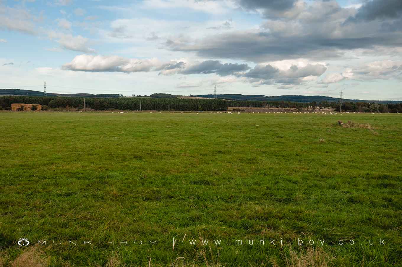
Milfield by munki-boy
Milfield
Created: 22 March 2020 Edited: 29 November 2023
Milfield
Local History around Milfield
There are some historic monuments around including:
Circular enclosure W of Second LinthaughSt Gregory's Hill campCastle Hill campPrehistoric field system and cairnfield east of Watch Hill, 520m NNE of footbridge over Carey BurnYeavering Bell campPrehistoric unenclosed hut circle settlement, field system and cairnfield 340m south west of triangulation point on Gains LawHethpool stone circlesSettlement on north slope of Yeavering BellThe Battle StoneDefended settlement on north slope of Harehope Hill, 570m south east of High Akled CottagesHazely Hill round cairnWest Hill campRoman period native settlement, associated field system and trackway, and medieval farmstead 270m south of TorleehouseMarley Knowe round cairnSettlement, field systems and terraces on the south east slope of Yeavering BellSite E of Milfield villageEwart Park hengeTwo Roman period native settlements and associated field system on Coldberry HillHowtel tower houseRomano-British farmstead 900m north east of triangulation point on Gains LawParson's TowerPrehistoric field system, cairnfield, round cairns and enclosed cremation cemetery on east slopes of Fredden Hill, 750m west of Wooler CommonFlodden Edge campRound cairn 100m south of TorleehouseRomano-British farmstead and part of an associated field system 630m south west of White GablesBronze Age field system on Fredden HillSite SW of ThirlingsHenge, pit-circle and later cemetery, 850m north east of Millfield HillSettlement 500yds (460m) SW of White LawCamp 400yds (370m) NNE of FloddenPrehistoric unenclosed hut circle settlement west of Monday Cleugh, 520m SSE of GleadscleughSettlement N of White LawHenge 600yds (550m) E of Akeld LodgeSettlement, probably medieval, SW of TorleehouseRomano-British farmstead 630m south west of White GablesThe Battle Stone, 650m WNW of Yeavering FarmFord Colliery 920m north east of Blackcrag WoodEtal Castle tower houseRound cairn 760m south east of triangulation point on Gains LawHut circle 770m south east of White GablesSite SE of YeaveringIron Age defended settlement and cultivation terraces 600m north east of Brown's Law CottageFlodden campDefended settlement, 380m south west of Sandy HouseFordwood camp, Broomridge DeanBronze Age cairnfield on north west slopes of Hart Heugh, 900m south west of Wooler CommonRoman period native farmstead and associated scooped enclosures and trackways on east slope of Harehope Hill, 925m south east of High Akeld CottagesBronze Age unenclosed hut circle settlement, field system and cairnfield, 630m south west of triangulation point on Gains LawThree Roman period native settlements and later droveway 750m south west of TorleehouseTwo prehistoric enclosures, field clearance cairns and unenclosed hut circle settlement north of Hart Heugh, 600m south west of Wooler CommonRomano-British farmstead 760m north of WhitehallSettlement at the south end of The BellTwo medieval shielings on Akeld Hill, 680m WNW of GleadscleughRock art at Goatscrag, 200m north west of Routin LynnUnenclosed stone hut circle settlement 120m north west of GleadscleughTwo incised rocks on Broom Ridge, Hunter's MoorRoman period native homestead 400m south of Humbleton Hill hillfortFord Westfield settlementPrehistoric enclosed settlement, Iron Age hillfort and medieval shielings on Humbleton HillHethpool tower houseRoman period native settlement 340m east of Hethpool LinnPrehistoric hut circle 540m south of GleadscleughSettlement on the east slope of The BellDefended settlement on White Hill, 700m south east of KimmerstonAd Gefrin Anglo-Saxon township and prehistoric remainsRomano-British native farmstead 970m north east of triangulation point on Gains LawRomano British settlement, 655m north east of Lanton Hill MonumentGlead's Cleugh Iron Age promontory fortPrehistoric hut circle on Harehope Hill, 400m south east of GleadscleughBronze Age round house on Fredden Hill 880m south west of Bell's ValleyUnenclosed scooped settlement on the east slope of Harehope Hill, 750m south east of High Akeld CottagesIron Age multivallate hillfort and prehistoric trackway at Monday CleughMedieval shieling and enclosure 340m north west of GleadscleughSettlement on north east slope of Yeavering BellCoupland henge and section of droveway, 170m SSW of Cheviot CottageRomano-British settlements E of Yeavering Bell containing the Old Sheepfold settlement and settlements to the W and S of itFarmstead and cultivation terraces, ENE of StawhouseCairnfield 420m south east of triangulation point on Gains Law.


