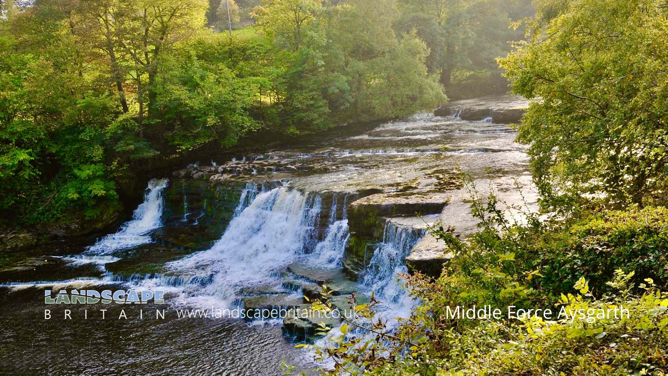
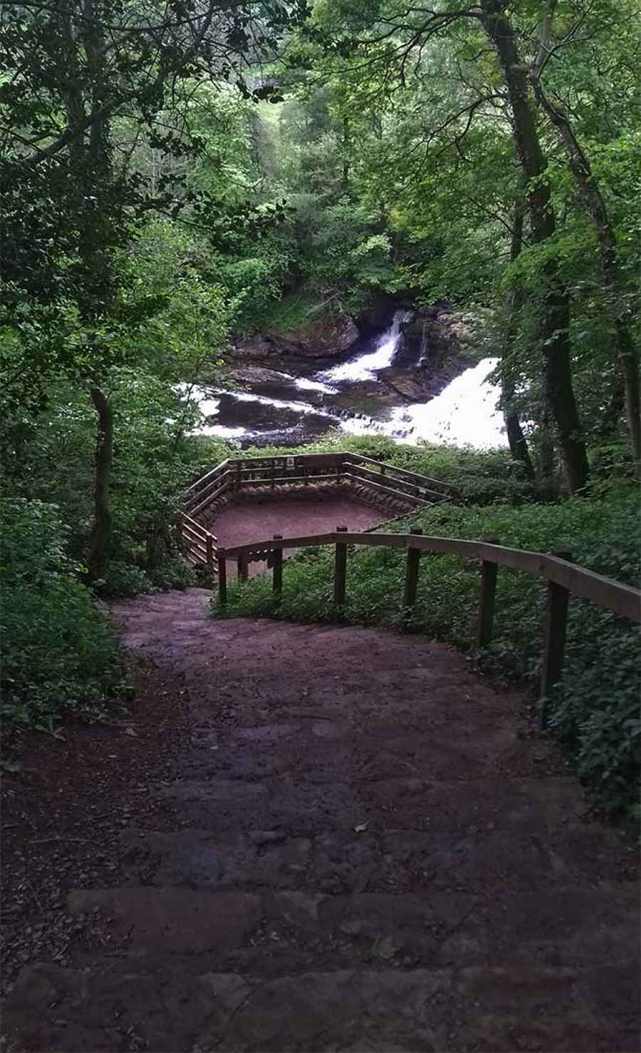
Middle Force - Aysgarth
Middle Force - Aysgarth
Middle Force - Aysgarth is in The Yorkshire Dales National Park in England.
The middle of three waterfalls on the River Ure at Aysgarth, shallow but wide and one of three nearby known as the Aysgarth Falls.
The perhaps the most impressive of the Aysgarth falls - easy to visit just by the village.
Created: 24 May 2019 Edited: 29 November 2023
Middle Force - Aysgarth
Ure from Mill Beck to Thornton Steward Beck Details
Ure from Mill Beck to Thornton Steward Beck
Ure from Mill Beck to Thornton Steward Beck is a river in North Yorkshire
Ure from Mill Beck to Thornton Steward Beck takes in water from an area around 66.336 km2 in size and is part of the Ure Upper catchment area.
Ure from Mill Beck to Thornton Steward Beck is 42.641 km long and is not designated artificial or heavily modified.
Middle Force - Aysgarth LiDAR Map
please wait...
Contains public sector information licensed under the Open Government Licence v3.0
Local History around Middle Force - Aysgarth
There are some historic monuments around including:
Castle Dykes HengeRing cairn on Thorny Bank HillCobscar Mill ore hearth lead smeltmill, flue and chimneyBolton Parks Lead Mine and ore worksCobscar calamine house on Cobscar Rake, 770m east of Cobscar MillDeserted medieval villageStone circle north east of Thackthwaite BeckBolton CastleCarperby market crossPenhill Knights Templar preceptory and earlier field system at Temple FarmOx Close small stone circle, Nab EndSettlement on Burton Moor.


