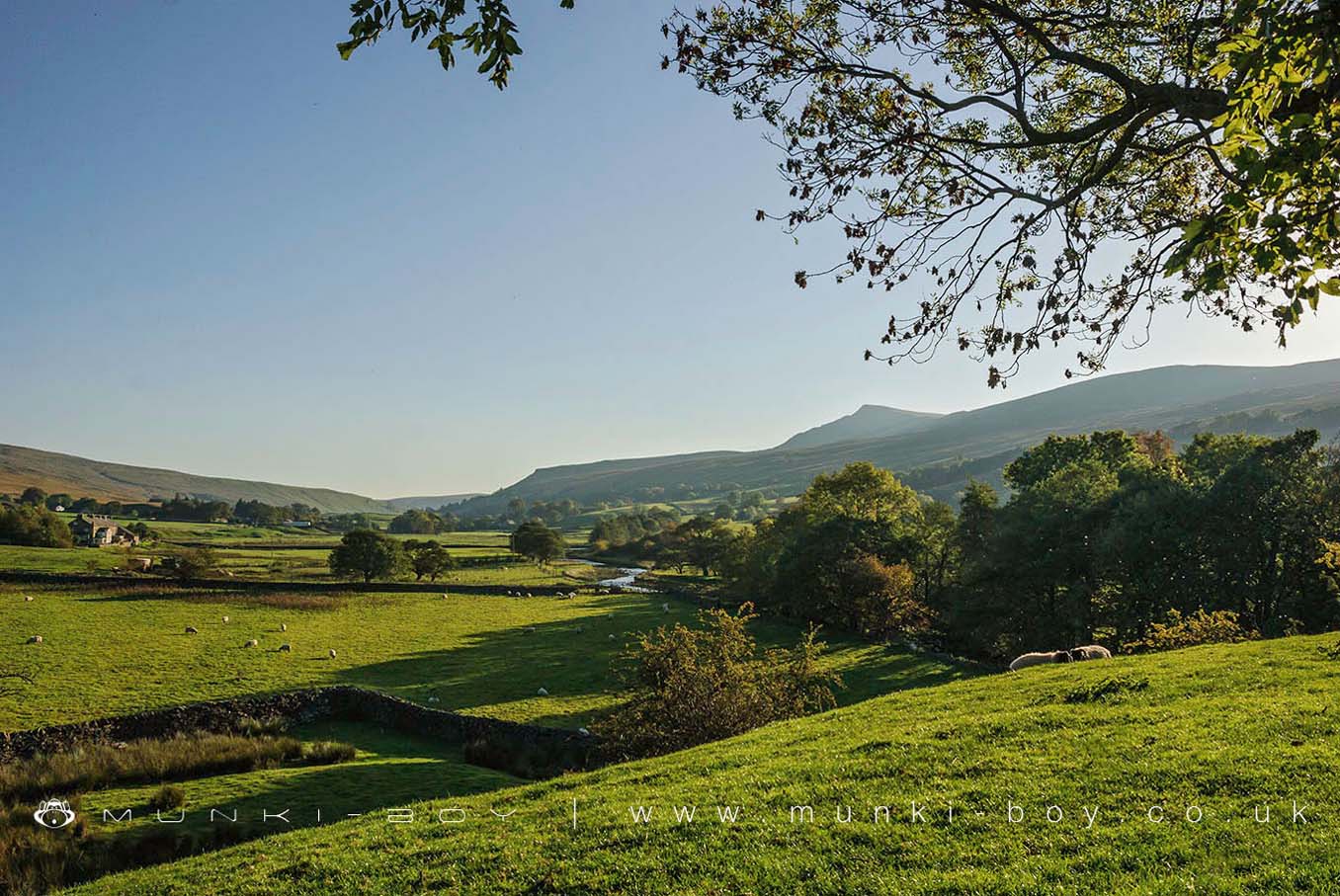
Mallerstang by munki-boy
Mallerstang
Mallerstang is in The Lake District National Park in England.
Mallerstang is situated in a dale at the head of the upper Eden Valley, in the east of Cumbria. Mallerstang lies about 6 miles (9.7 km) south of Kirkby Stephen. The eastern edge of Mallerstang at Aisgill, borders North Yorkshire and in August 2016 it became part of the Yorkshire Dales National Park.
Mallerstang is bounded by Wild Boar Fell and Swarth Fell to the west and Mallerstang Edge to the east. The highest point of Mallerstang Edge is the summit of High Seat which is 709 metres (2,326 ft).
Mallerstang’s small community is scattered along the dale in a series of isolated houses and small hamlets, with no village. The largest of the hamlets is Outhgill.
The dale is closely associated with Lady Anne Clifford, Countess Dowager of Dorset, Pembroke and Montgomery and the ancient road to the east of the river is known as “Lady Anne’s Highway”.
St Mary’s Church in Outhgill was founded in the early 14th century but, having fallen into disrepair, was restored by Lady Anne Clifford in 1663. There is a plaque over the church door recording this.
Pendragon Castle, according to legend it is supposed to have been built by Uther Pendragon, father of King Arthur. It was also restored/rebuilt by Lady Anne Clifford in 1660. The castle was one of Lady Anne Clifford’s favourite places. Her heir, the Earl of Thanet, abandoned it and over time it gradually deteriorated to the sorrowful but attractive and atmospheric ruin of today. It is a Grade I listed building.
Lammerside Castle was built in the 12th century. It was rebuilt and strengthened in the 14th century as a Pele tower, to provide protection against scots raiders.
The most noticeable structure in the dale of Mallerstang is the Settle–Carlisle Railway, built between 1869 and 1876 and follows the valley.
Created: 27 November 2016 Edited: 29 November 2023


