Malham Cove by munki-boy
Malham Cove
Malham Cove is in The Yorkshire Dales National Park in England.
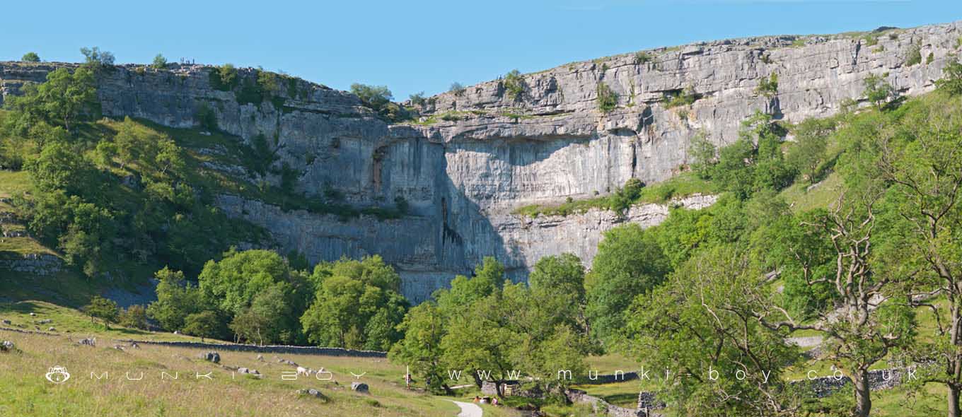
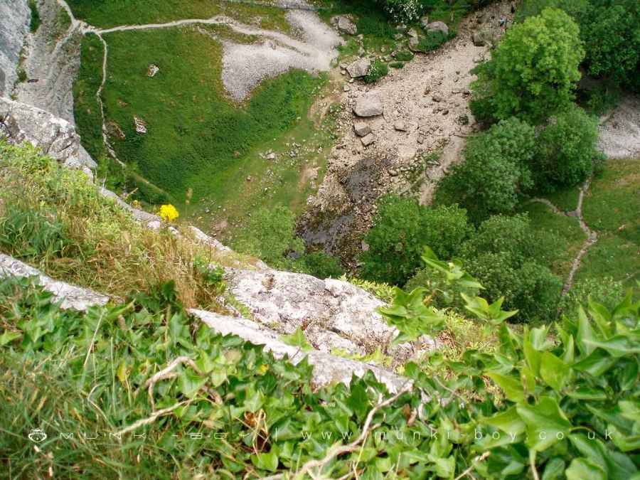
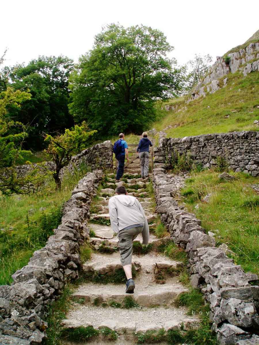
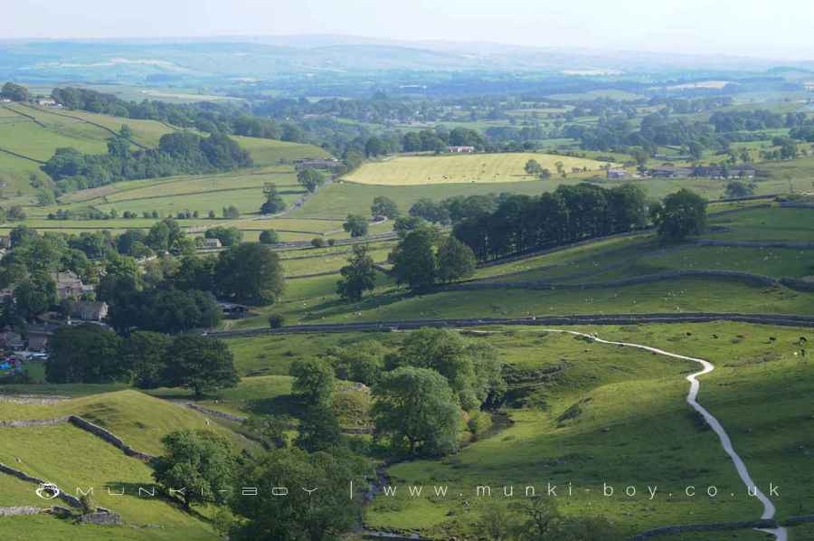
Malham Cove is one of the most iconic natural landmarks in the Yorkshire Dales National Park, situated just to the north of the village of Malham in North Yorkshire. This dramatic, curving limestone cliff forms a vast natural amphitheatre, rising approximately 80 metres (260 feet) high and stretching over 300 metres (980 feet) wide. Its striking appearance and geological significance make it one of the most visited and photographed features in the Dales.
The formation of Malham Cove dates back to the end of the last Ice Age, over 12,000 years ago. At that time, a powerful waterfall carried meltwater from retreating glaciers, cascading over the cliff edge and carving out the distinctive curve that defines the cove today. The immense volume and force of the water eroded the central lip of the cliff more deeply than the sides, creating the amphitheatre-like shape seen today. Though the waterfall has long since dried up, the natural spectacle it left behind remains a lasting reminder of the glacial past that shaped much of the Yorkshire Dales.
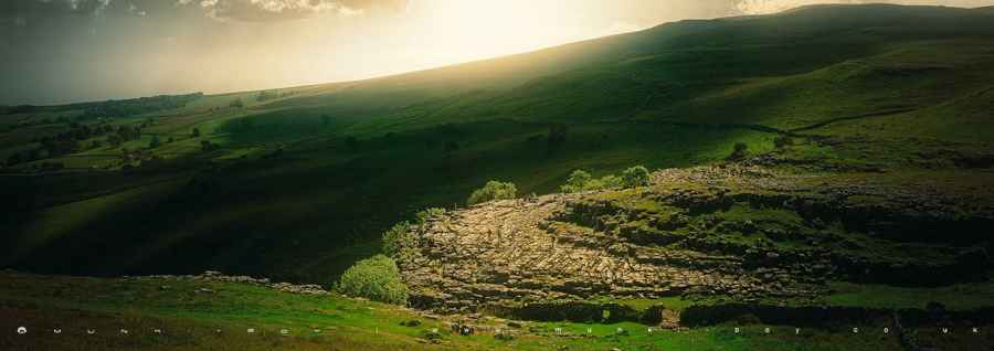
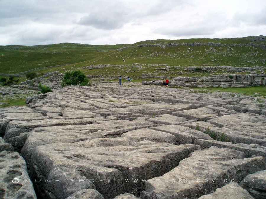
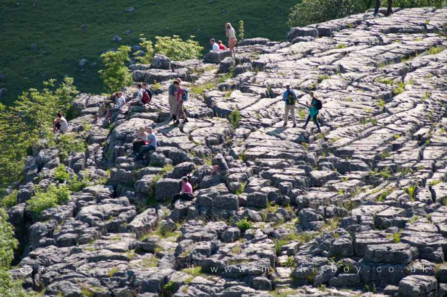
Above the cove lies a striking expanse of limestone pavement, one of the most impressive of its kind in Britain. This distinctive feature, with its clints (blocks) and grikes (fissures), has been weathered over millennia into a surreal, almost alien pattern. It is not only a geological wonder but also a fragile ecological habitat, supporting rare species of plants that thrive in the sheltered crevices.
Beneath the surface, Malham Cove conceals a complex and ancient system of caves and tunnels, believed to be around 50,000 years old. These subterranean passages form part of a wider network of limestone cave systems that are typical of karst landscapes. Under normal conditions, these caves carry away rainwater before it reaches the face of the cove, but after exceptional rainfall—such as during Storm Desmond on 6 December 2015—the cove briefly came back to life as a waterfall, believed to be for the first time in centuries. The rare event drew national attention and highlighted the hidden power of the landscape.
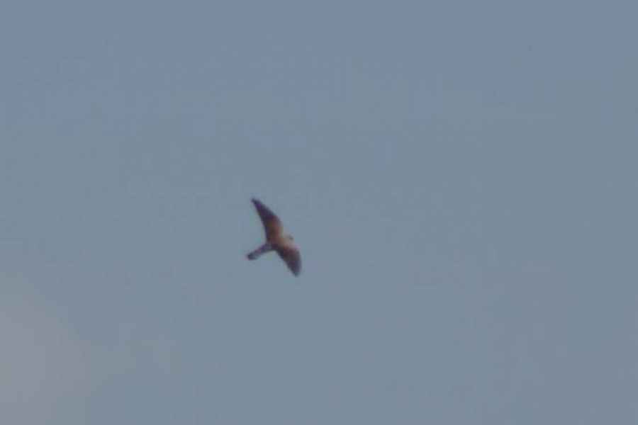
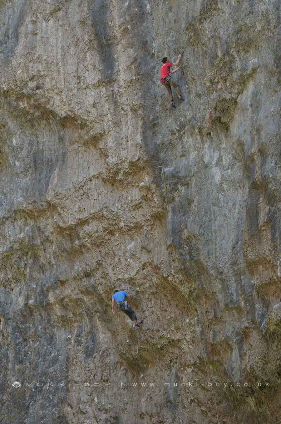
Malham Cove is also an important site for wildlife, notably serving as a nesting ground for peregrine falcons. These birds of prey, among the fastest in the world, can often be seen soaring above the cliffs during the summer months. Viewing platforms are set up seasonally to allow visitors to observe them without disturbing their habitat, adding to the cove’s appeal as both a geological and ecological treasure.
Created: 27 November 2016 Edited: 25 March 2025
Malham Tarn Estate Information
Malham Tarn Estate Address
Yorkshire Dales Estate Office, Pennine Way, Settle BD24 9PT, UK
BD24 9PT
Website: https://www.nationaltrust.org.uk/malham-tarn-estate
Get directionsLocal History around Malham Cove
There are some historic monuments around including:
Medieval monastic wayside cross baseRound barrow 400m south west of Crane Field LaitheSettlement 500ft (150m) NW of Ing Scar CragSettlement on Ing ScarNucleated coal mine and coke oven on Fountains FellBoundary dyke W of Capon HallRoman temporary camp and medieval monastic cross base, Mastiles Lane.Seaty Hill round cairnCairn 80m north of Pikedaw HillHut circle on Comb ScarMedieval settlements and lynchets extending NW from Town HeadSettlement at Dew BottomsCup marked rock in wall east of Scarnber Wood, 500m north east of Bark Laithe, WinterburnRound cairn south east of Broad FlatsSettlement sites on Jorden ScarRound barrow 550m south west of Park HillLynchets N of Malham villageSettlement on Cow Bank 1/4 mile (400m) NW of DarnbrookCairn on Great Close HillCairn on Blue Scar 460m NW of Springs CaveRound cairn on Broad FlatsRound barrow north of Moor Syke, Crane FieldSettlement on Prior RakesEnclosure and hut circles on Prior RakesEnclosure E of Malham LingsRing cairn north west of Ewe MoorMedieval monastic wayside cross base, Water Sinks GateSettlement N of Stridebut EdgeEnclosed prehistoric settlement east of Malham CoveField system S of Malham CoveSettlement 1/3 mile (540m) NW of Langscar GateFarm sites and field systems on Malham LingsLime kiln and associated quarry 75m south of High Scarth BarnPikedaw Hill southern cairnLower Colgarth Hill round cairnSheriff Hill round cairnSettlement on Blue ScarSettlement 1250yds (1140m) NE of Malham Tarn HouseMedieval monastic wayside cross baseHut circles, enclosures and fields N of Shorkley HillFarmhouse sites on Highfolds ScarCrane Field round barrowPillow mounds east of Friars Head, known as Giants' GravesTwo rectangular house sites on Malham Lings.