Lower Hempshaws (ruin) by munki-boy
Lower Hempshaws (ruin)
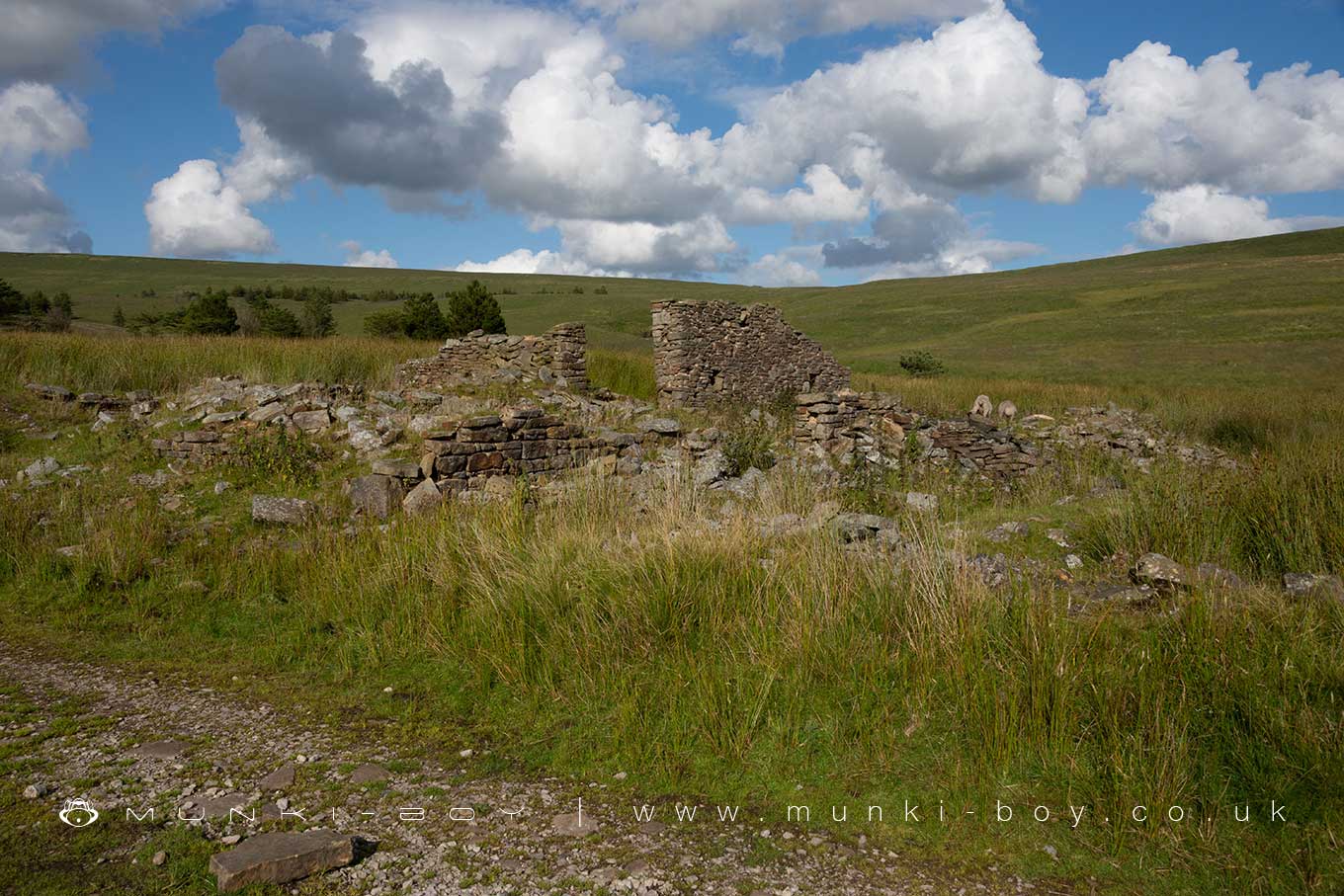
The ruins of Lower Hempshaw’s Farm above Anglezarke.
Derelict around the mid-20th Century.
Created: 11 June 2023 Edited: 29 November 2023
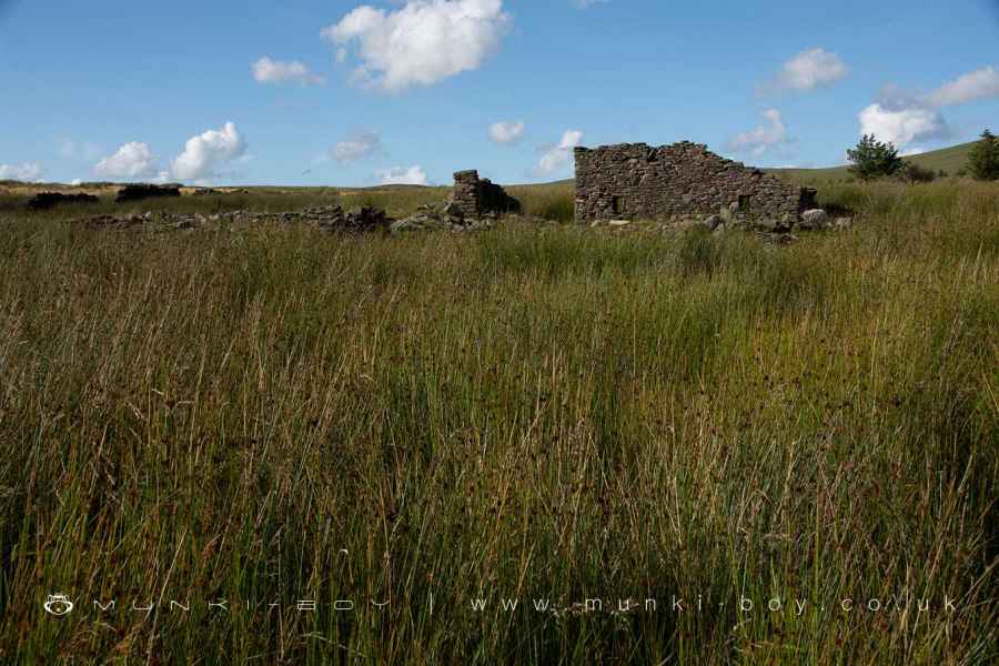
Walls at Lower Hempshaw's
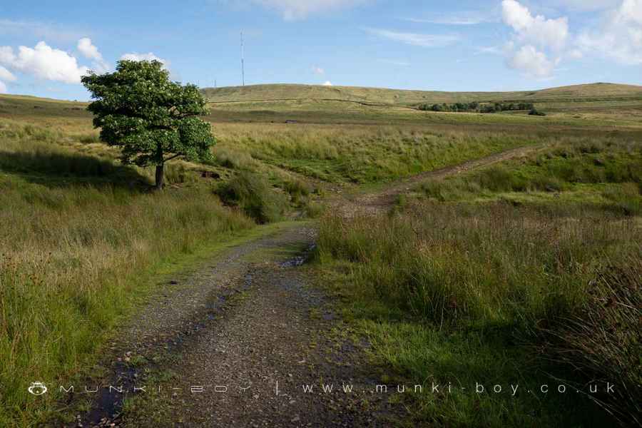
Old Farm Road at Hempshaw's
Lower Hempshaws (ruin)
Lower Hempshaws (ruin) LiDAR Map
Loading LiDAR
please wait...
please wait...
Contains public sector information licensed under the Open Government Licence v3.0
Local History around Lower Hempshaws (ruin)
There are some historic monuments around including:
Round cairn on Winter HillHeadless Cross, GrimefordThe Moat House moated site 600m WNW of St David's ChurchPike Stones chambered long cairnRound cairn on Noon HillRound cairn 280m west of Old Harpers FarmRound Loaf bowl barrow on Anglezarke Moor.


