The Rough Rock on top of Lister Mill Quarry by munki-boy
Lister Mill Quarry
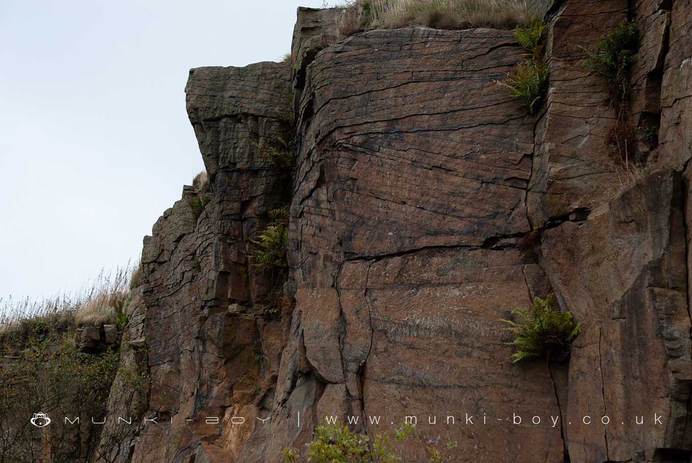
A large, disused, sandstone quarry beside Anglezarke reservoir. Mostly overgrown with some areas popular for rock climbing.
There are a few industrial looking remains in the bottom of the quarry but these look to be for drainage and may relate to the reservoirs. There are also a couple of tiny ‘caves’ formed from gaps between fallen boulders that were popular for childhood games but are probably unsafe.
There are public car parks in what was the lower part of the quarry that are used as a starting point for the popular Woodland Trail around High Bullough and Anglezarke Reservoir.
Created: 5 August 2021 Edited: 29 November 2023
Lister Mill Quarry
Lister Mill Quarry LiDAR Map
please wait...
Contains public sector information licensed under the Open Government Licence v3.0
Local History around Lister Mill Quarry
There are some historic monuments around including:
Pike Stones chambered long cairnRound cairn on Winter HillRound cairn on Noon HillMoated site at Arley Hall, Haigh near WiganRound cairn 280m west of Old Harpers FarmHeadless Cross, GrimefordThe Moat House moated site 600m WNW of St David's ChurchRound Loaf bowl barrow on Anglezarke MoorBretters Farm moated site and two fishponds.


