Leathercoat Wood by munki-boy
Leathercoat Wood
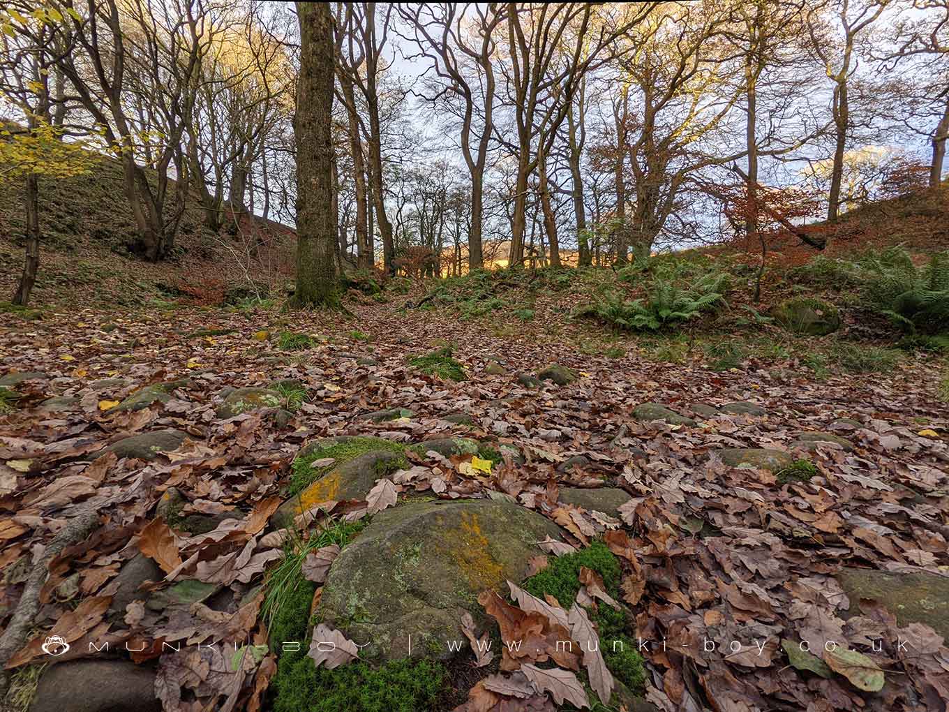
A small woodland along the Grizedale Brook as it flows into Grizedale Dock Reservoir below Grizedale Bridge.
Created: 15 February 2023 Edited: 29 November 2023
Grizedale Bridge
Leathercoat Wood
Leathercoat Wood LiDAR Map

Contains public sector information licensed under the Open Government Licence v3.0
Local History around Leathercoat Wood
There are some historic monuments around including:
Remains of the gas plant, chimney, wheel pit and mill race of Dolphinholme Worsted MillBleasdale Circle enclosed Bronze Age urnfieldBrooks Farm packhorse bridgeClaughton hlaew in Sandhole WoodGarstang market crossCastle Hill motte, DolphinholmeGreenhalgh Castle, cultivation terraces south east of the castle, and site of Greenhalgh manor house.


