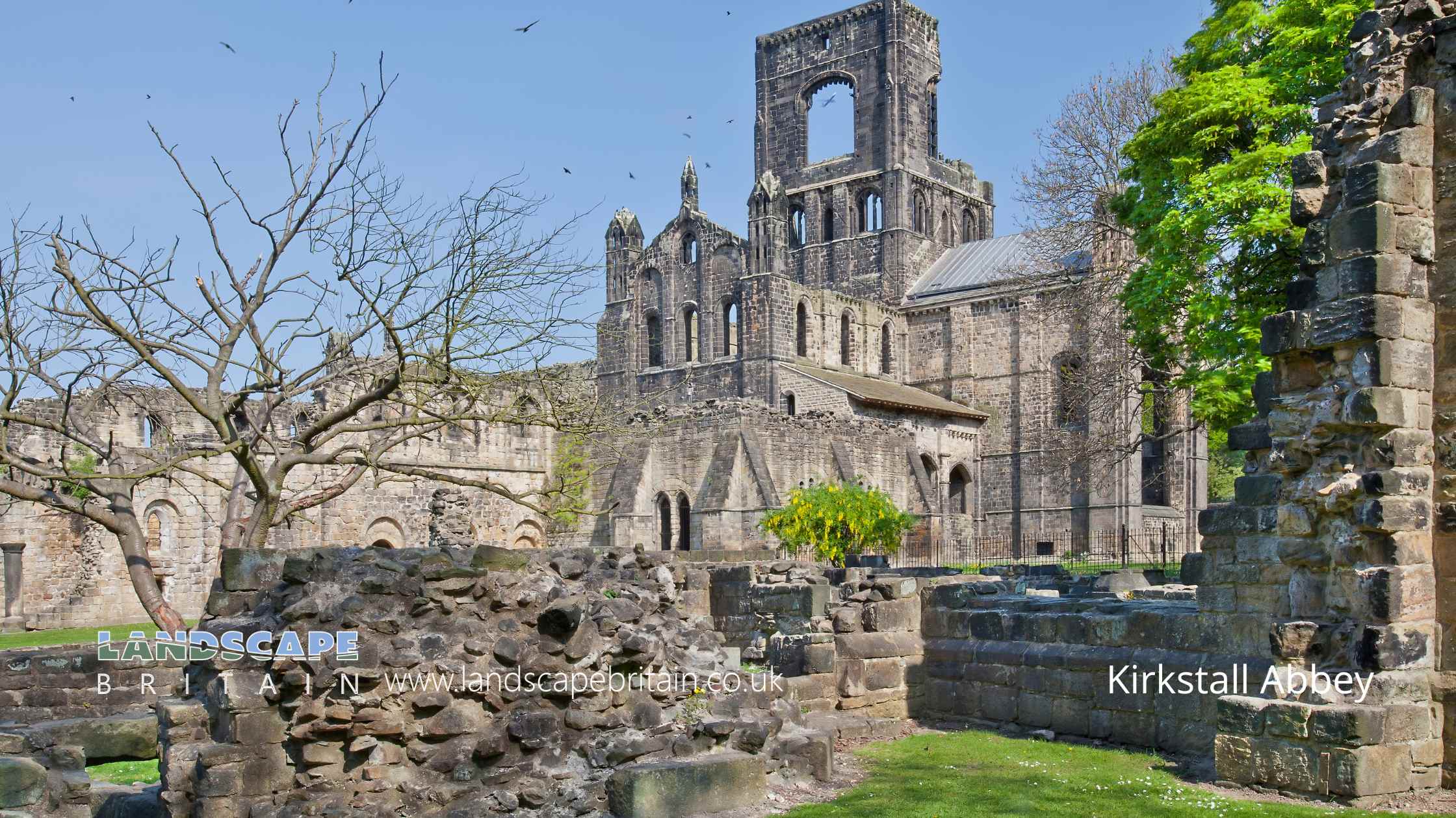
Kirkstall Abbey
Kirkstall Abbey
Grade I listed Kirkstall Abbey is based around the ruins of a beautiful and historic monastery in Leeds, West Yorkshire, England. The abbey was first founded in 1152 by Henry II, and it played an important role in the religious life of the area for centuries. The Abbey was bought by the City of Leeds in the 1890s and after consolidation of the walls the site was laid out as a public park, and is now one of the most popular tourist destinations in Leeds.
The abbey is surrounded by stunning grounds, which are perfect for a peaceful walk or a picnic. There are also several interesting museums on the premises, including a museum of medieval sculpture and a museum of monastic life. Admission to the abbey is free, making it a great option for budget-minded travelers.
If you’re looking for a unique and interesting attraction in Leeds, make sure to check out Kirkstall Abbey!
Created: 4 December 2022 Edited: 29 November 2023
Kirkstall Abbey Information
Kirkstall Abbey Address
Abbey Rd, Kirkstall, Leeds
LS5 3EH
Website: https://kirkstallabbey.leeds.gov.uk/
Get directionsAire from Gill Beck (Baildon) to River Calder Details
Aire from Gill Beck (Baildon) to River Calder
Aire from Gill Beck (Baildon) to River Calder is a river in West Yorkshire
Aire from Gill Beck (Baildon) to River Calder takes in water from an area around 103.339 km2 in size and is part of the Aire Lower catchment area.
Aire from Gill Beck (Baildon) to River Calder is 40.037 km long and has been heavily modified by industry in the past.
Kirkstall Abbey LiDAR Map
please wait...
Contains public sector information licensed under the Open Government Licence v3.0
Local History around Kirkstall Abbey
There are some historic monuments around including:
Stone hut circle settlement in Iveson WoodOwlcotes deserted medieval villageRock carved human figure 570m south of King Lane FarmGritstone pillar with three cup marks in the north pavement of the A65 at Horsforth, 440m south east of the roundabout at Low FoldCup, ring and groove marked rock 15m from south wall of Gab Wood 300m east of Moseley Farm, CookridgeCup, ring and groove marked rock 2m south of north wall of Gab Wood 330m E of Moseley Farm, CookridgeStank Hall quasi-manorial siteAnti-aircraft gunsite 280m east of Carlton HallStone hut circle settlement in Clayton Wood on the south west side of Iveson DriveKirkstall Abbey and precinct including a prehistoric cup and ring marked rockMedieval farmstead in Ireland Wood, 150m north east of Cookridge HospitalAdel Roman fort and settlement.


