Jepson's Clough by munki-boy
Jepsons Clough
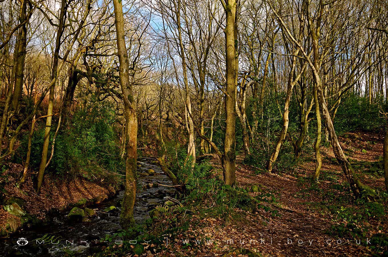
Jepson’s Clough is a small woodland area with the River Douglas still as a small stream passing through. The rocky clough from which the area gets its name is scenic and leads on to a small waterfall with interesting geological features.
Created: 27 November 2016 Edited: 29 November 2023
West Pennine Moors SSSI Details
Type: SSSI
Jepsons Clough
Jepsons Clough LiDAR Map

Contains public sector information licensed under the Open Government Licence v3.0
Local History around Jepsons Clough
There are some historic monuments around including:
Pike Stones chambered long cairnRound cairn on Winter HillRound cairn 280m west of Old Harpers FarmGidlow Hall moated site, Aspull, 560m NNE of Pennington HallBretters Farm moated site and two fishpondsRound Loaf bowl barrow on Anglezarke MoorRound cairn on Noon HillHeadless Cross, GrimefordThe Moat House moated site 600m WNW of St David's Church.