Jacob's Ladder (ruin) by munki-boy
Jacob's Ladder (ruin)
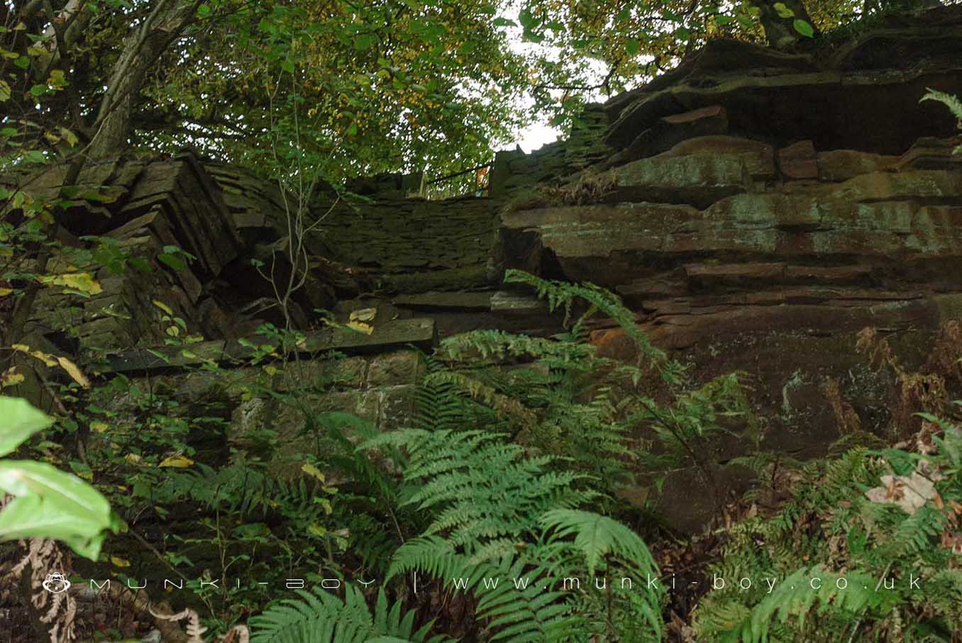
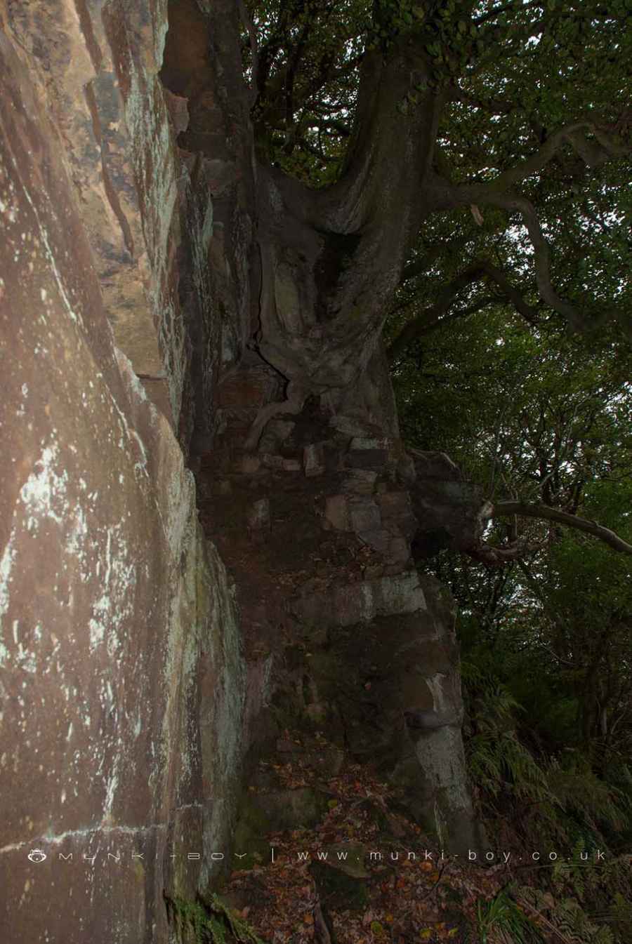
The stone remains that used to support a series of iron ladders used to transport labour and materials down from the Moor Road to High Bullough during construction of the reservoir.
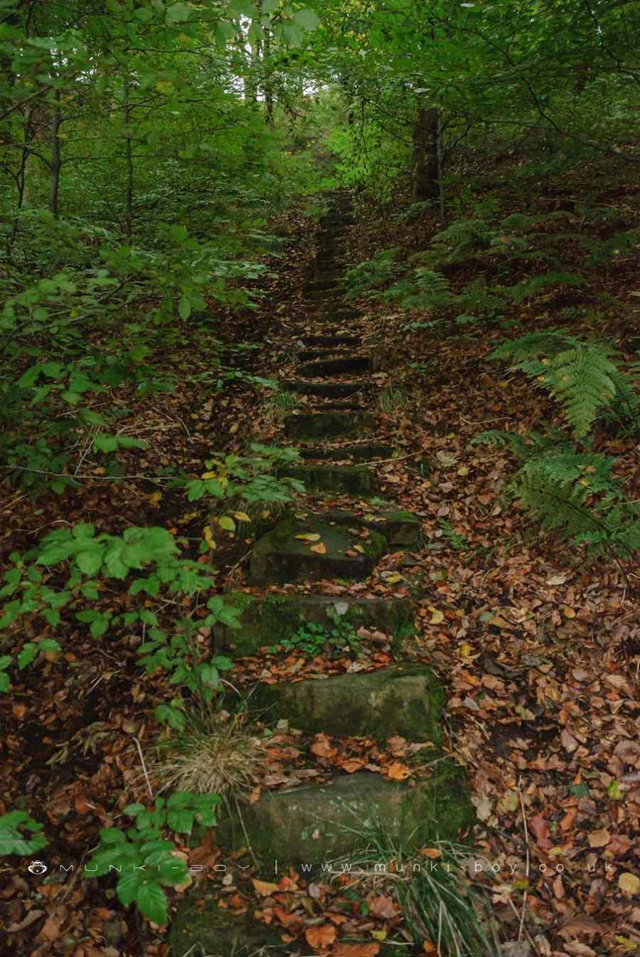
The lower section near the footpath has a series of stone steps but the base of the ladder platforms can be difficult to reach; the slope is steep and sometimes slippery. The original gateway at the top of the ladder is gone but a small, gated access through the dry stone wall can still be seen opposite Jepson’s Farm.
Created: 6 August 2021 Edited: 29 November 2023
Jacob's Ladder (ruin)
Jacob's Ladder (ruin) LiDAR Map

Contains public sector information licensed under the Open Government Licence v3.0
Local History around Jacob's Ladder (ruin)
There are some historic monuments around including:
Round cairn 280m west of Old Harpers FarmRound cairn on Winter HillHeadless Cross, GrimefordMoated site at Arley Hall, Haigh near WiganBretters Farm moated site and two fishpondsRound Loaf bowl barrow on Anglezarke MoorRound cairn on Noon HillThe Moat House moated site 600m WNW of St David's ChurchPike Stones chambered long cairn.


