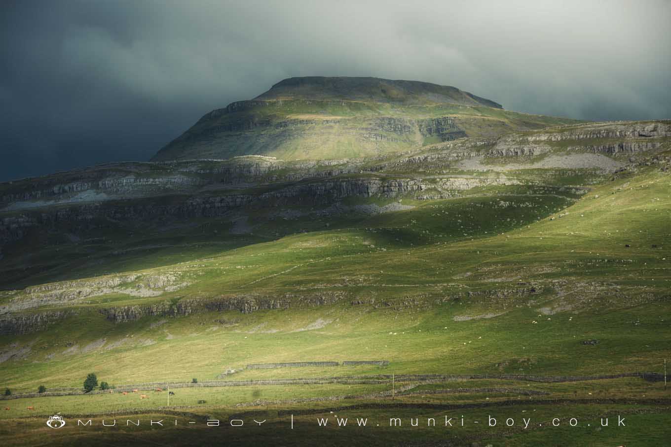
Ingleborough by munki-boy
Ingleborough
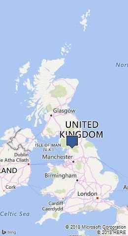
Ingleborough is in The Yorkshire Dales National Park in England.
Ingleborough is the second highest peak in the Yorkshire Dales area. A reasonably easy climb due to its wide and well used footpath with minimal scrambling where the loose limestone rock has eroded in places. Best visited from Clapdale as major scree slopes make other ascent routes very hazardous if not impossible.
Created: 27 November 2016 Edited: 29 November 2023
Ingleborough Details
Ingleborough is a 724 metre high mountain in North Yorkshire.
Ingleborough
Ingleborough LiDAR Map

Contains public sector information licensed under the Open Government Licence v3.0
Local History around Ingleborough
There are some historic monuments around including:
Apron Full of Stones cairnSettlement in Ashes Shaw Pasture, HortonSettlement on Gauber Cow Pasture RocksLarge univallate hillfort on Ingleborough Hill.Native settlementSettlement in Ingman Lodge Shaw Pasture, HortonSettlement on Gauber High Pasture RockYarlsber campMarket Cross, ClaphamEller Keld settlement siteCairn at Force Gill, 80m SSE of Little Dale aqueductSettlement in Top Cow Pasture, SelsideRibblehead railway construction camp and prehistoric field systemMeal Bank Quarry Hoffmann kiln, quarry and lime worksSettlement 1/3 mile (540m) SE of Chapel le DaleSettlement 440yds (400m) SW of Twistleton HallRound barrow on Sleights Pasture.