Ibbeth Peril by munki-boy
Ibbeth Peril
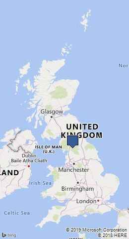
Ibbeth Peril is in The Yorkshire Dales National Park in England.
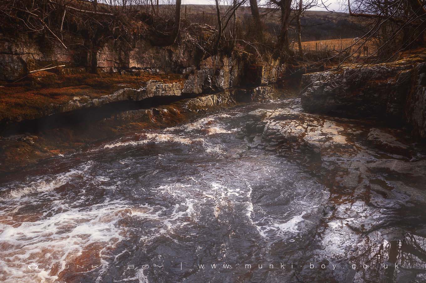
Ibbeth Peril, The Witches Pool’ is an area on the River Dee near to the village of Cowgill in Dentdale with a often dangerous amount of water flowing over a rock ledge and into a stone pool formed in the limestone country rock. There is beside the waterfall an entrance to the cave or pothole.
The waterfall is popular with gorge walkers and kayaks when in flood and popular with potholers when dry.
Created: 16 December 2018 Edited: 29 November 2023
Ibbeth Peril
Dee - headwaters to confluence with Deepdale Bk Details
Dee - headwaters to confluence with Deepdale Bk
Dee - headwaters to confluence with Deepdale Bk is a river in Lancashire
Dee - headwaters to confluence with Deepdale Bk takes in water from an area around 34.473 km2 in size and is part of the Greta and Rawthey catchment area.
Dee - headwaters to confluence with Deepdale Bk is 10.719 km long and is not designated artificial or heavily modified.
Ibbeth Peril LiDAR Map
please wait...
Contains public sector information licensed under the Open Government Licence v3.0
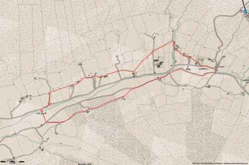
Walks in Ibbeth Peril
Local History around Ibbeth Peril
There are some historic monuments around including:
Ribblehead railway construction camp and prehistoric field systemDent Head viaductCairn at Force Gill, 80m SSE of Little Dale aqueductApron Full of Stones cairnArten Gill viaduct.