Holyhead Mountain Hut Group by JRL
Holyhead Mountain Hut Group
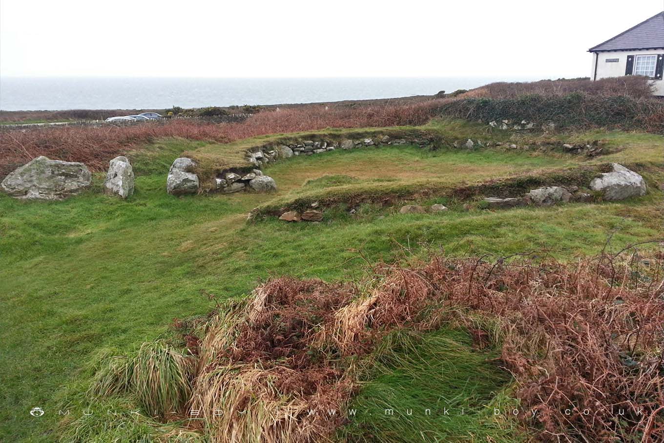
Two thousand years ago, the land rising towards Holyhead Mountain was peppered with small farmsteads, below the old Iron Age fort of Caer y Twr and the old Roman station. Some of these buildings, stone roundhouses and partly subterranean storage sheds, animal shelters and workshops have been excavated and their foundations conserved.
Over 50 buildings comprising the Holyhead Mountain Hut Group have been found on the hillside covering an area of 6-8 ha. Many were excavated in the 1860s, others during the 1970s.
They range in date from the Iron Age (500 B.C) through to post Roman times. There were probably around eight farmsteads in total, only one or two of which would have been in use at any one time.
The round-houses had low stone walls on which roof timbers would have rested to support a thatch, or possibly turf roof, and some have passages leading into them - probably designed to reduce cold winds blowing inside. Stone features such as ledges and basins reveal some of the house furniture, and other buildings include rectangular sunken structures that may have been for storage. Additional structures may have been workshops or stock shelters.
A study of the soils buried beneath later field boundaries showed that the land had been ploughed. Wheat, oats and barley seeds have been found during archaeological together with charcoal of heather and sedge.
Created: 1 December 2018 Edited: 29 November 2023
Holyhead Mountain Hut Group
Holyhead Mountain Hut Group LiDAR Map
Contains public sector information licensed under the Open Government Licence v3.0
Local History around Holyhead Mountain Hut Group
There are some historic monuments around including:
Gogarth Bay round cairn Holyhead Mountain Hut CirclesEnclosed Hut Circle Settlement at Capel LlochwyddPlas Meilw Hut CirclesTy-Mawr Standing Stone Roman Wall Surrounding St Cybi's ChurchyardPenrhos Feilw Standing StonesCaer y TŵrPorth Dafarch Hut CirclesDinas Porth Ruffydd .


