Hole Bottom on Winter Hill by munki-boy
Hole Bottom
Hole Bottom was once a quaint hamlet perched atop Winter Hill, sits at the lower reaches of the Sand Rock Mine outcrops where a geological fault causes the coal seams to disappear. The peculiar name, “Hole Bottom,” might well have sprung from this unique geographic feature, although its true origin remains a mystery to me.
Many hikers traverse Hole Bottom on their ascent of Winter Hill or along the numerous trails converging nearby. Generally, the area doesn’t garner much attention except for the prominent ruins of the Winter Hill Brick and Tile Works. Beyond these relics, the landscape blends into the surrounding moorland grass. However, those who pause to explore will discover a wealth of mining remnants, offering a fascinating glimpse into the area’s industrial past.
The Hole Bottom Houses
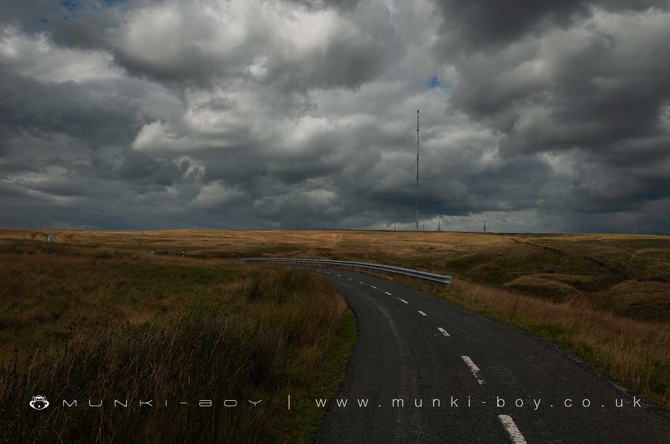
Many years ago a small row of cottages stood at Hole Bottom on this flat area of ground, just beyond the bend in the road near Two Lads on Winter Hill. The cottages were owned by William Garbutt of the nearby Five Houses. William Garbutt seems to have run most of the small quarries, mines and the nearby fireclay concerns on this side of the hill. The cottages were probably built to house his workforce and their families.
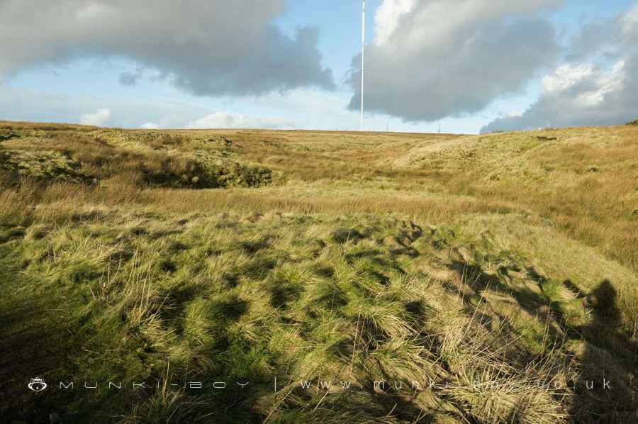
You might be wondering how one would fit a single modern house into the tiny area in the photograph, but, the footprint of the small row of cottages is very similar to that of the Five Houses a bit further up the road and I can only assume that terrace contained five properties. There is a small stream running right next to the houses but it looks like the people made the short trek to a “spout” located at the site of the old Ouzel Hall to the east.
There is also a small reservoir or pond shown on the old maps behind the Hole Bottom houses, at the side of the little stream. Perhaps the stream water was polluted by the old coal pits higer up the hill, some of which were very close to the stream. The Ouzel Hall spout is an old well which would have drawn clean water from below ground, so perhaps that was the preferred source of water for the local community.
In 1849 Garbutt advertised a lease on his fireclay works and a few cottages adjacent and later we find a group of families and a boarder living in the cottages at Hole Bottom, many them state their occupation to be at the “Terra Cotta” works in the 1881 census. Dave Lane seems to have this as the occupants of the Five Houses but they are shown as uninhabited on that same census. So it must refer to people living at Hole Bottom and not the Five Houses.
Winter Hill House
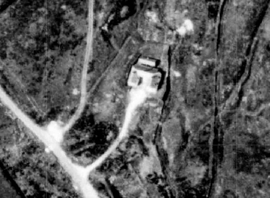
From sometime in the early 20th Century the site of the old Hole Bottom houses was occupied by Winter Hill House, one of the network of “rural tea rooms” or “ramblers’ cafes” that became popular in England during the early 20th century. These establishments catered primarily to walkers, hikers, and cyclists, providing refreshments and often a resting spot in scenic or rural locations.
The establishment and expansion of such venues were closely linked with the rising popularity of rambling and cycling as recreational activities, especially among the working and middle classes. This was partly facilitated by the increased availability of leisure time and the expanding railway network, which made rural areas more accessible.
These tea rooms often served as social hubs where outdoor enthusiasts could gather. They typically offered simple fare, such as tea, cakes, and sandwiches, in a setting that complemented the pastoral charm of the English countryside. Some were run by individuals or families, while others were part of larger organizations or networks.
The concept was somewhat formalized by organizations like the Cyclists’ Touring Club (CTC) and the Ramblers’ Association, which played significant roles in promoting access to the countryside and supporting amenities like these tea rooms. They not only provided practical resting points but also helped to foster a culture of outdoor leisure activities.
Such establishments are seen as precursors to the modern concept of the “walker’s pub” or rural cafes that continue to support hiking and other outdoor activities in the UK.
Created: 13 April 2024 Edited: 14 April 2024


Hole Bottom
Hole Bottom LiDAR Map
please wait...
Contains public sector information licensed under the Open Government Licence v3.0
Local History around Hole Bottom
There are some historic monuments around including:
Pike Stones chambered long cairnGidlow Hall moated site, Aspull, 560m NNE of Pennington HallRound cairn on Winter HillHeadless Cross, GrimefordSteam tramway reversing triangleRound Loaf bowl barrow on Anglezarke MoorRound cairn 280m west of Old Harpers FarmRound cairn on Noon Hill.


