Hoghton Bottoms Weir by munki-boy
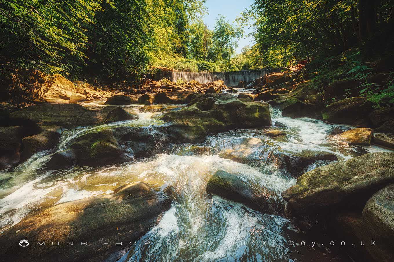
Hoghton Bottoms Weir
The weir at Hoghton Bottoms although artificially created is today a scenic spot with a new fish-pass added in 2018.
A good walking path leads down along the River Darwen and into Hoghton Bottoms through a rocky passage that looks great. The weir itself is a good drop with an eroded and rocky stream bed downstream and through the rocky gorge known as the The Horr.
Created: 26 April 2019 Edited: 29 November 2023
Hoghton Bottoms Weir
Darwen - confluence with Roddlesworth to tidal Details
Darwen - confluence with Roddlesworth to tidal
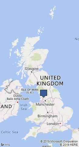
Darwen - confluence with Roddlesworth to tidal is a river in Lancashire
Darwen - confluence with Roddlesworth to tidal takes in water from an area around 36.758 km2 in size and is part of the Darwen catchment area.
Darwen - confluence with Roddlesworth to tidal is 19.7 km long and is not designated artificial or heavily modified.
Hoghton Bottoms Weir LiDAR Map
please wait...
Contains public sector information licensed under the Open Government Licence v3.0
Local History around Hoghton Bottoms Weir
There are some historic monuments around including:
Part of Witton Old Hall medieval lordly residence 340m north east of Feniscliffe BridgeRoman signal station on Mellor MoorPleasington alum works.