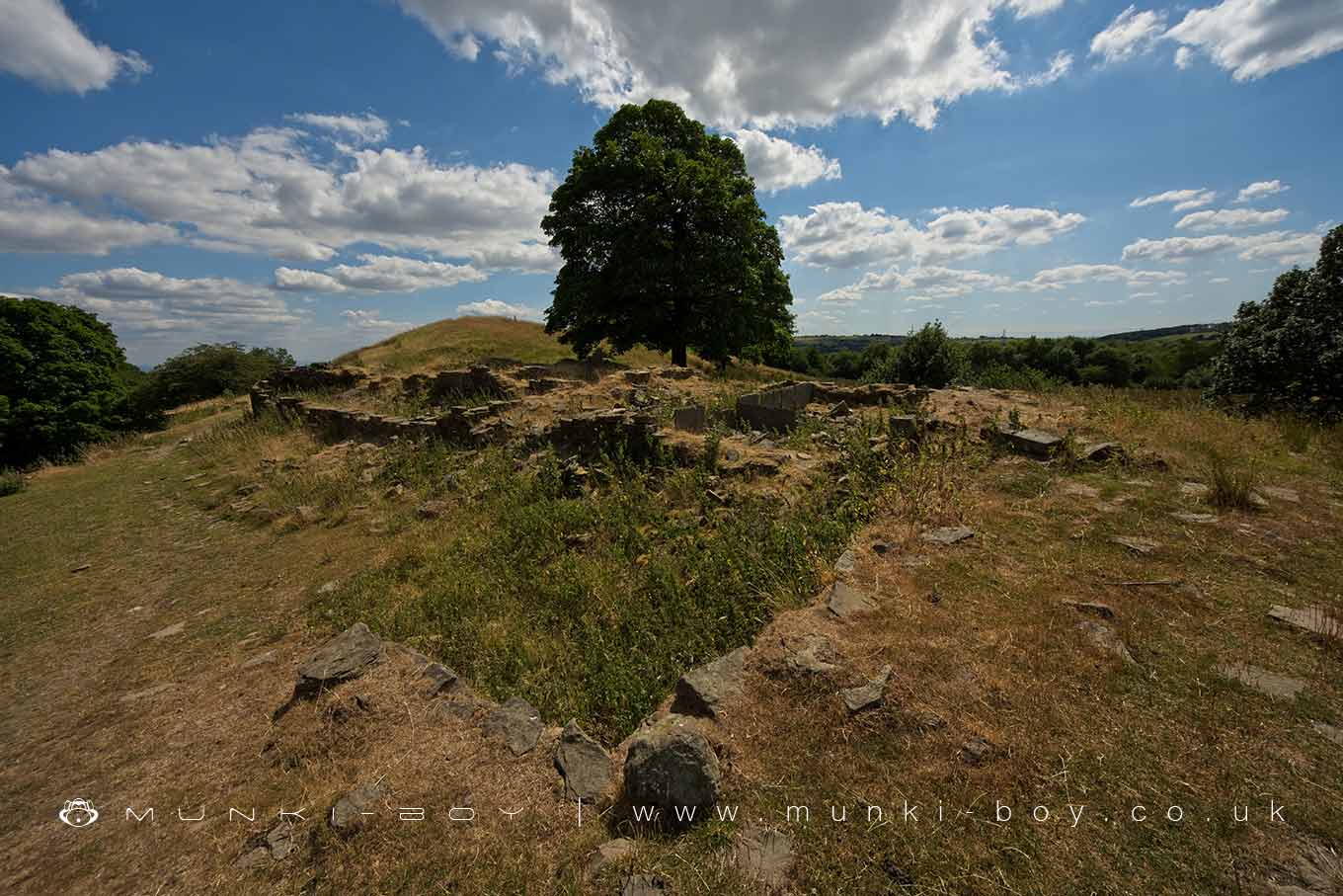
Higher Ridge (ruin) by munki-boy
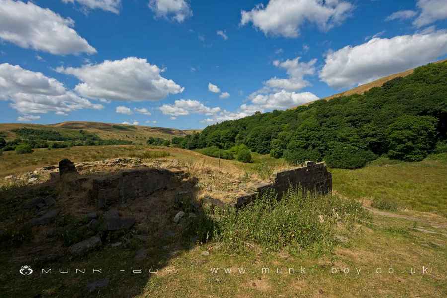
Higher Ridge (ruin)
Ruins of Higher Ridge on the lower slopes of Harcles Hill.
Low walls and a clear room layout are visible at the ruins of Higher Ridge that was still a farmstead as late as the 1940’s.
Created: 2 February 2022 Edited: 29 November 2023
Ruined Walls of Higher Ridge
Higher Ridge (ruin)
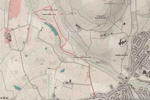
Higher Ridge (ruin) LiDAR Map

Contains public sector information licensed under the Open Government Licence v3.0
Walks in Higher Ridge (ruin)
Local History around Higher Ridge (ruin)
There are some historic monuments around including:
Affetside Cross at Affetside 75m north west of the Pack Horse InnCoking ovens and associated coal workings on Aushaw Moss 450m south west of Lower HousePromontory fort called Castlesteads on the east bank of the Irwell 550m SSE of Banks FarmHigher Mill, HelmshoreRoman road at Bottom o' th' Knotts BrowMedieval moated site and later fortified manor house known as Bury Castle 100m west of the parish church.


