Higher Pasture Barn (ruin) by munki-boy
Higher Pasture Barn (ruin)
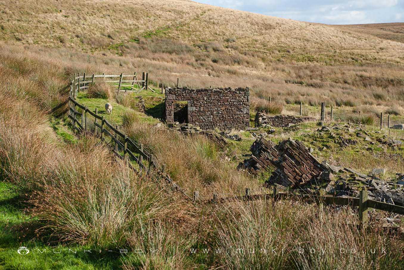
The ruins of Higher Pasture Barn are visible from heights across the valley as a few walls remain upstanding. The site itself is on private land in a sheep field but the ruins are easily viewable from the footpath leading up behind.
Higher Pasture Barn seems to have gone derelict after the first quarter of the 20th Century.
Created: 14 December 2019 Edited: 29 November 2023
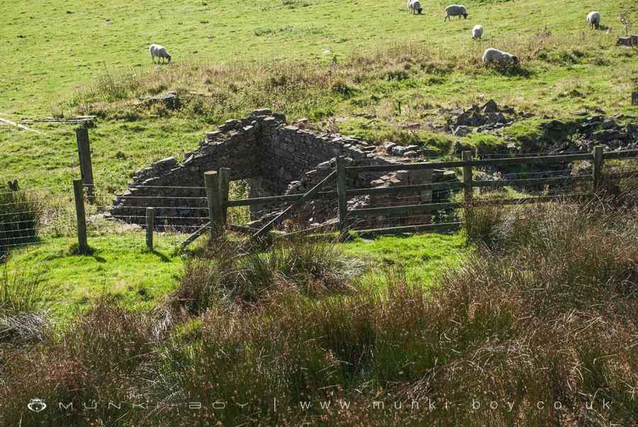
The ruins of Higher Pasture Barn from the track behind
Higher Pasture Barn (ruin)
Higher Pasture Barn (ruin) LiDAR Map

Contains public sector information licensed under the Open Government Licence v3.0
Local History around Higher Pasture Barn (ruin)
There are some historic monuments around including:
Steam tramway reversing triangleRound Loaf bowl barrow on Anglezarke MoorRound cairn on Noon HillStone circle, ring cairn and two round cairns on Cheetham ClosePike Stones chambered long cairnRound cairn on Winter HillRound cairn 280m west of Old Harpers Farm.