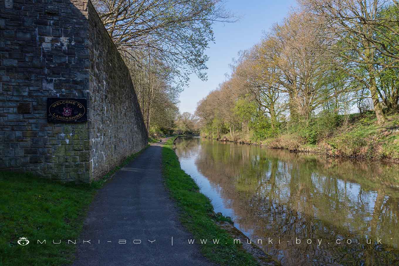
Heath Charnock by munki-boy
Heath Charnock
Heath Charnock is a charming village situated in the Borough of Chorley in Lancashire, England. Nestled near the foothills of the West Pennine Moors, it shares close proximity to the larger town of Chorley and is bordered by the picturesque villages of Adlington and Rivington, which further enhance its rural appeal.
The village has a rich history, characterized by its agricultural roots and development during the industrial revolution. Historically, Heath Charnock was part of a larger area known as Anglezarke, which was noted in the Domesday Book.
Today, Heath Charnock maintains a peaceful, village atmosphere with a strong sense of community. It features a mix of old and new homes, contributing to its aesthetic of blending tradition with modernity. The village has several local amenities including traditional pubs, which serve as social hubs for residents.
Nature lovers appreciate Heath Charnock for its proximity to outdoor spaces. The area offers easy access to the West Pennine Moors, providing ample opportunities for walking, hiking, and enjoying the outdoors. The nearby Anglezarke Reservoir is a popular spot for walking and wildlife watching.
Transportation in Heath Charnock is facilitated by its closeness to major roads like the M61 motorway, making it conveniently accessible to larger urban centers like Manchester and Bolton. Moreover, the village benefits from the nearby Adlington railway station, which provides residents with regional rail services.
In essence, Heath Charnock represents a quaint English village that balances countryside tranquility with accessibility to urban conveniences, making it a desirable place for both residents and visitors seeking a slice of rural English life.
Created: 23 April 2024 Edited: 26 May 2024
Heath Charnock
Local History around Heath Charnock
There are some historic monuments around including:
Round cairn on Noon HillMarket cross in the marketplace to the west of St Wilfrid's Church, StandishPike Stones chambered long cairnRound Loaf bowl barrow on Anglezarke MoorThe Moat House moated site 600m WNW of St David's ChurchCross base on Standish Wood Lane 700m south east of Standish HallMoated site at Arley Hall, Haigh near WiganCross base on Green Lane 300m north of Strickland House Farm, StandishGidlow Hall moated site, Aspull, 560m NNE of Pennington HallHaigh Sough mine drainage portal, 310m west of Park HouseMabs Cross on Standishgate, 20m west of Mabs Cross School buildingBretters Farm moated site and two fishpondsCross base at the junction of Standish Green Lane, Standish Wood Lane and Beech Walk, 200m NNW of Strickland House Farm, StandishHeadless Cross, Grimeford.


