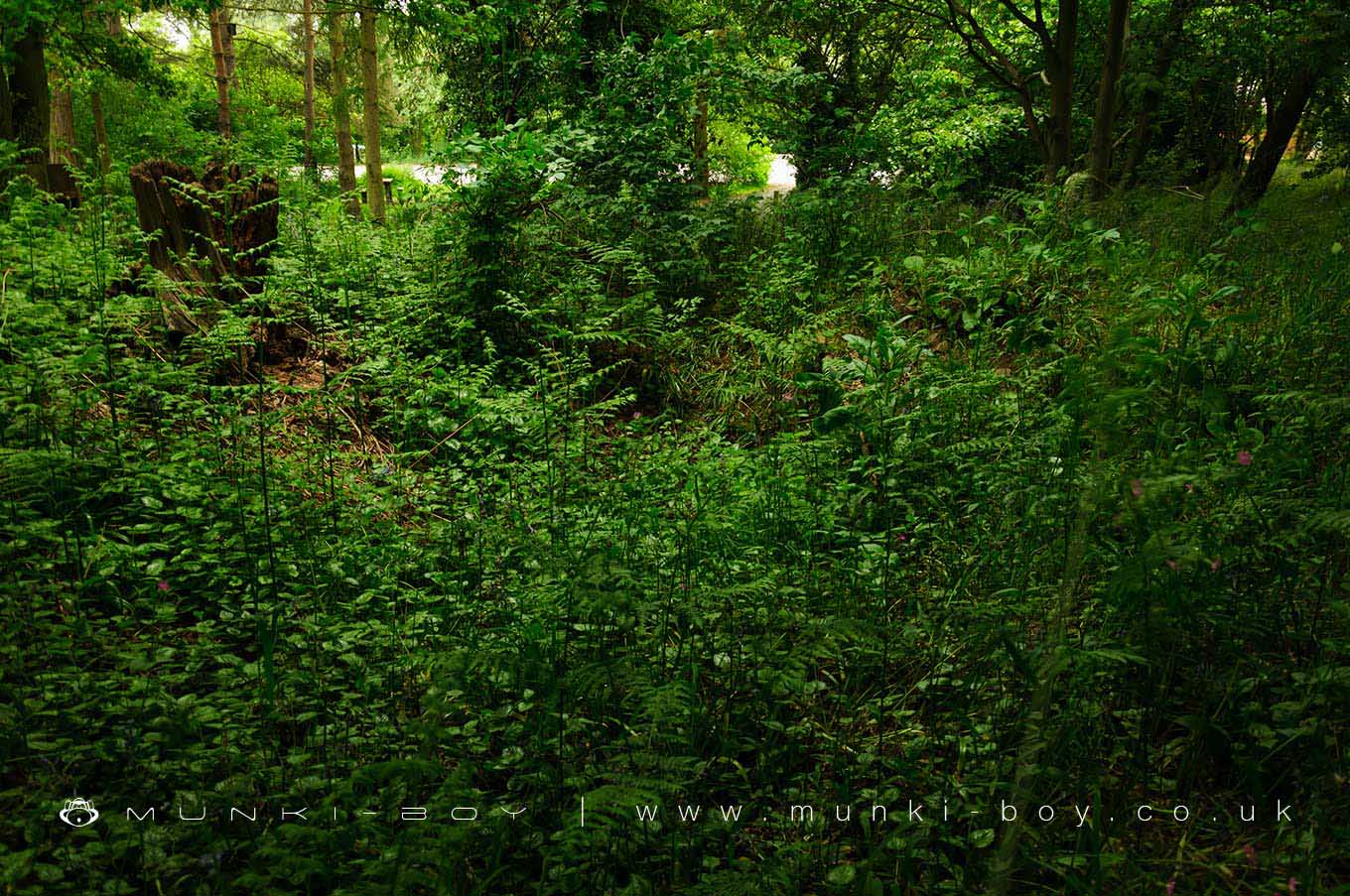
Hartshill Tumulus by munki-boy
Hartshill Tumulus
The tumulus at Hartshall is a prehistoric bowl barrow originally dating to between 2400 and 1500 BCE. Located on a ridge beside what is now the car park of Hastshill Hayes Country Park the mound stands around 2 metres tall and is around 20 meters wide. The mound was constructed from a circular ditch, dug around the circumference, although this has become infilled and is not easily discernable.
The tumulus was once much bigger at around 4.5 metres tall until it was partially excavated in 1835. A number of artefacts were recovered from three Bronze Age burials, associated with a small cist containing two large crematory urns, inverted. A bronze dagger and two drinking cups were found together with the remains. A further, third urn was found with another drinking cup below the first two.
An Anglo-Sazon grave was dug into mound many years later, which was also uncovered during the 19th Century excavation, together with an iron spearhead and shield boss.
Created: 26 June 2021 Edited: 29 November 2023
Hartshill Tumulus
Hartshill Tumulus LiDAR Map
please wait...
Contains public sector information licensed under the Open Government Licence v3.0
Local History around Hartshill Tumulus
There are some historic monuments around including:
Merevale Abbey, a Cistercian monastery, associated water control features and industrial remainsAstley Castle moated site, fishponds, garden remains and Astley CollegeHartshill CastleMoated site north-west of PinwallThe Benedictine priory and precinct of St Mary, NuneatonGrendon BridgeBowl barrow at Fenny DraytonRingwork castle 80m south west of Castle FarmBowl barrow 580m east of Moor Wood FarmRemains of chapel in Lindley ParkManduessedum Roman villa and settlement with associated industrial complexCastle Hills: a motte and bailey castle 700m NE of St Mary and All Saint's ChurchRoman campOldbury Camp univallate hillfortMoat and fishponds at Ratcliffe Culey.


