Hartshill Diorite Pits by munki-boy
Hartshill Diorite Pits
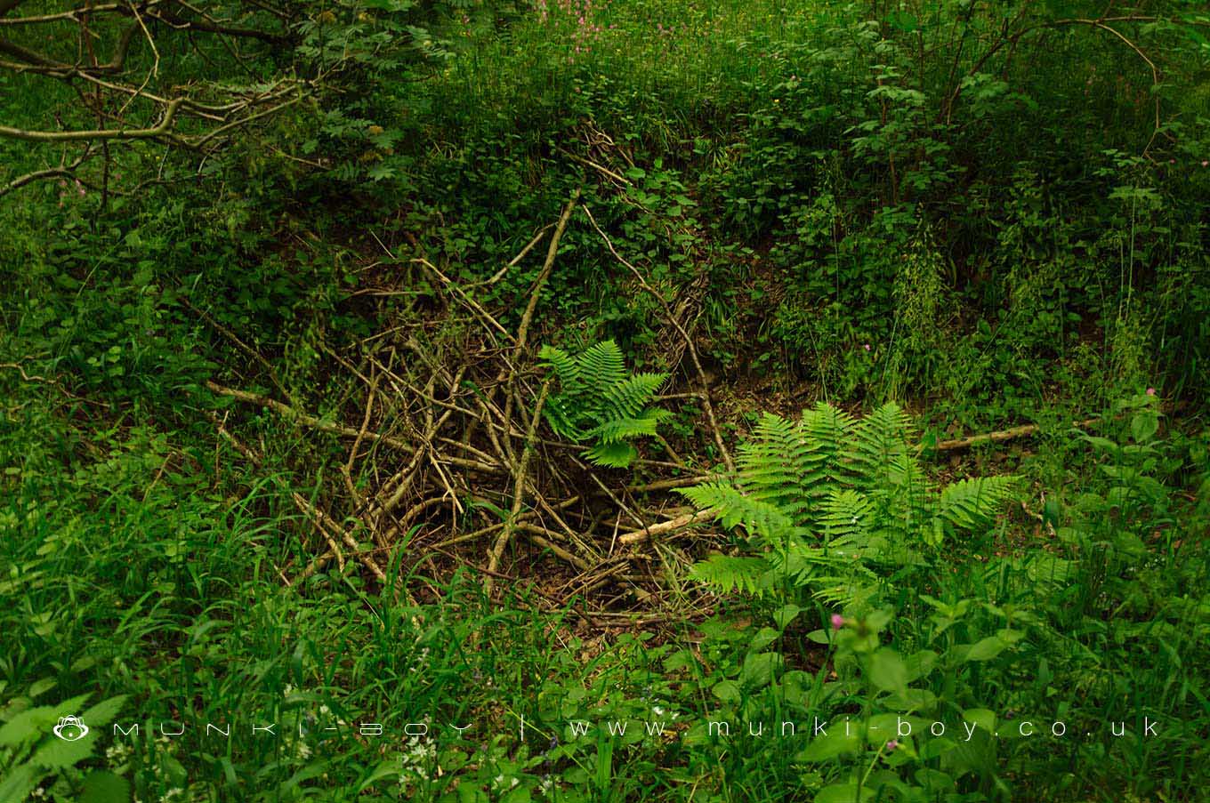
Early 20th Century test pits to extract diorite rock for road aggregates.
Said to date to some time prior to 1923 these small pits with spoil heaps were sunk with a prospect of quarrying diorite but the rock here was found to be badly weathered and decomposed.
Diorite is an igneous rock used in aggregates for (among other things) road construction.
Created: 26 June 2021 Edited: 29 November 2023
Hartshill Diorite Pits
Hartshill Diorite Pits LiDAR Map
Loading LiDAR
please wait...
please wait...
Contains public sector information licensed under the Open Government Licence v3.0
Local History around Hartshill Diorite Pits
There are some historic monuments around including:
Oldbury Camp univallate hillfortHartshill CastleCastle Hills: a motte and bailey castle 700m NE of St Mary and All Saint's ChurchGrendon BridgeBowl barrow at Fenny DraytonMoated site north-west of PinwallRingwork castle 80m south west of Castle FarmMerevale Abbey, a Cistercian monastery, associated water control features and industrial remainsAstley Castle moated site, fishponds, garden remains and Astley CollegeBowl barrow 580m east of Moor Wood FarmThe Benedictine priory and precinct of St Mary, NuneatonManduessedum Roman villa and settlement with associated industrial complexRoman campRemains of chapel in Lindley ParkMoat and fishponds at Ratcliffe Culey.


