

Hardcastle Crags by munki-boy
Hardcastle Crags
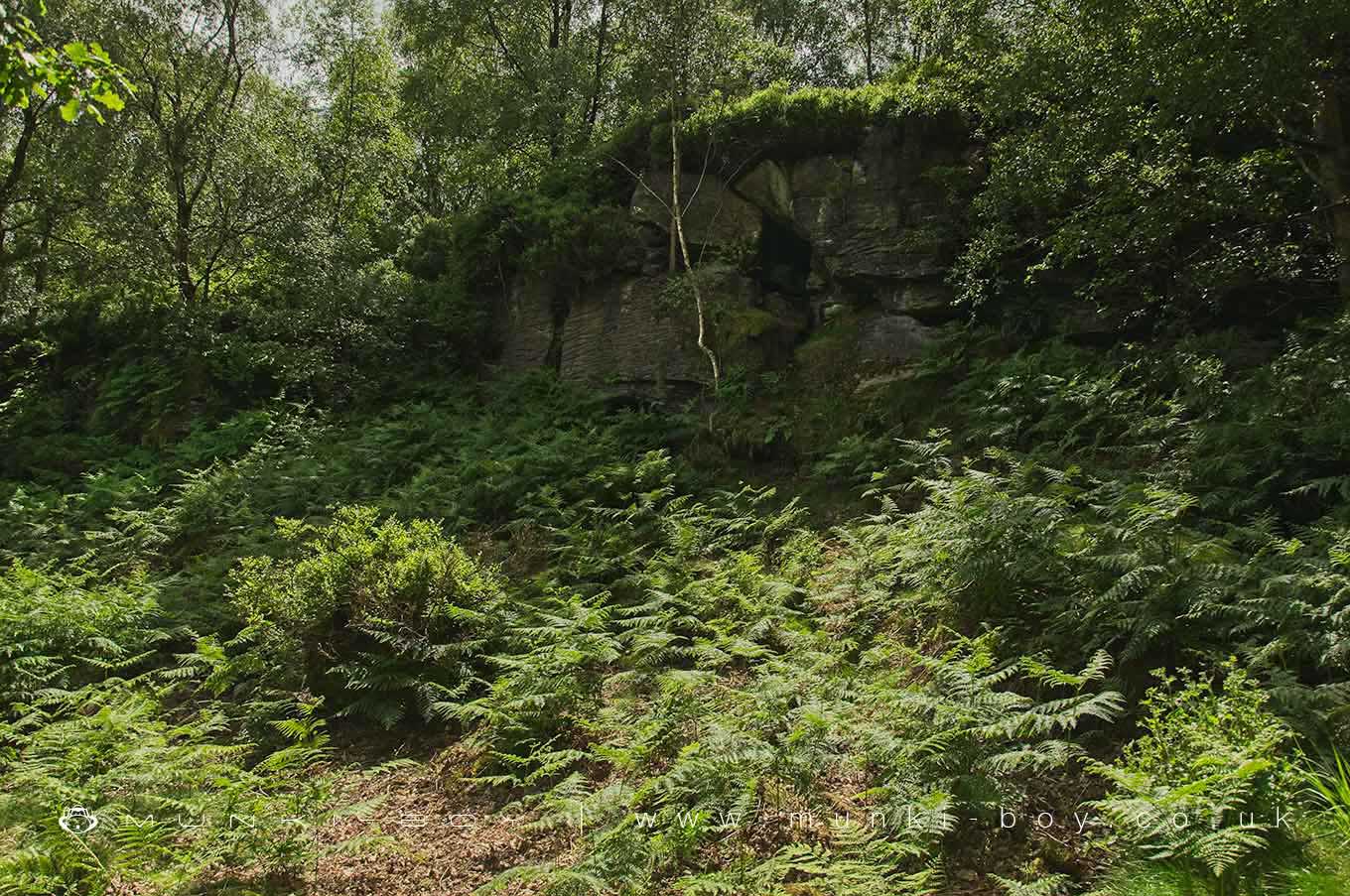
Sandstone crags overlooking Hebden Beck now part of a National Trust industrial history, nature and hiking trail area.
Created: 30 January 2021 Edited: 29 November 2023
Hardcastle Crags Information
Hardcastle Crags Address
Hollin Hall, Midgehole Rd, Hebden Bridge HX7 7AP, UK
HX7 7AP
Website: http://www.nationaltrust.org.uk/hardcastle-crags/
Get directionsHardcastle Crags Woodland
Hardcastle Crags is a woodland area in West Yorkshire, managed by National Trust.Hardcastle Crags LiDAR Map

Contains public sector information licensed under the Open Government Licence v3.0
Local History around Hardcastle Crags
There are some historic monuments around including:
Wayside cross known as Tinker CrossRing cairn on Midgley Moor, 360m north east of Upper Han RoydCairn with an oval bank on Midgley Moor, 430m north east of Upper Han RoydCairn on Midgley Moor, 400m north east of Upper Han RoydCairn known as Millers Grave on Midgley MoorWayside cross known as Abel CrossThe old bridge over the Hebden Water at Hebden BridgeCup marked boundary stone known as Churn Milk Joan on Crow Hill, Midgley Moor, 580m north of Foster Clough BridgeWayside cross known as Reaps CrossEnclosed Bronze Age urnfield 440m north west of Rough Bottom on Midgeley MoorOld Church of St Thomas Becket, 210m north east of Daisy Field FarmEnclosed Bronze Age urnfield 200m north west of Hanging Field Farm.


