Ruins of Halliwell Fold by munki-boy
Halliwell Fold (ruin)
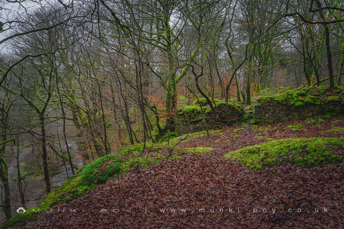
Perched on the edge of Halliwell Fold Scar, a crumbling shale cliff in Roddlesworth Woods, lie the ruins of Halliwell Fold.
A series of old farm buildings once stood here, surrounding a crossroads above the River Roddlesworth leading down to an old ford that was replaced by a bridge in the 17th Century. A small cobbled section of road, possibly part of the farm yard remains together with stone gateposts. Halliwell Fold was derelict by the end of the 19th Century.
Not much to see at the ruins of Halliwell Fold, but it’s on the main walking route so if you’re passing.
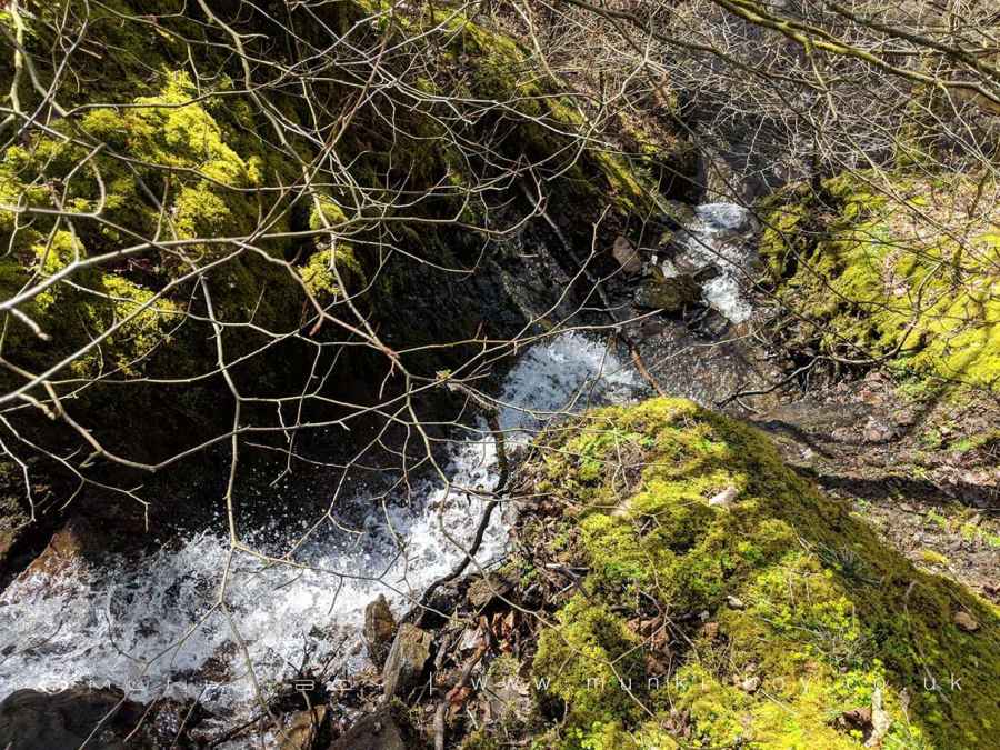
The larger of the buildings now has a small stream running over the edge of the waterfall - careful if you lean over for a look, the edge isn’t too stable.
Created: 27 April 2019 Edited: 29 November 2023
Halliwell Fold (ruin)
Halliwell Fold (ruin) LiDAR Map
please wait...
Contains public sector information licensed under the Open Government Licence v3.0
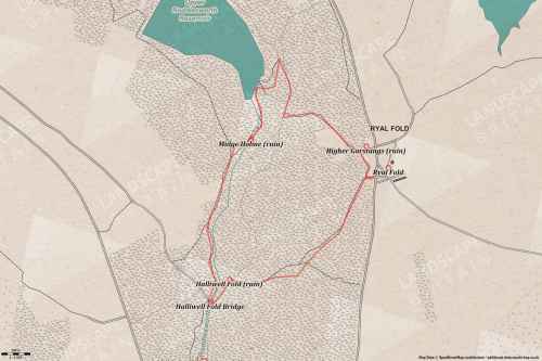
Walks in Halliwell Fold (ruin)
Local History around Halliwell Fold (ruin)
There are some historic monuments around including:
Steam tramway reversing trianglePleasington alum worksRound cairn on Noon HillPike Stones chambered long cairnRound cairn on Winter HillPart of Witton Old Hall medieval lordly residence 340m north east of Feniscliffe BridgeRound Loaf bowl barrow on Anglezarke Moor.


