Gunnerkeld Stone Circle by munki-boy
Gunnerkeld Stone Circle
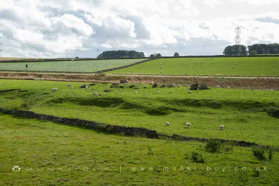
Gunnerkeld Stone Circle is in The Lake District National Park in England.
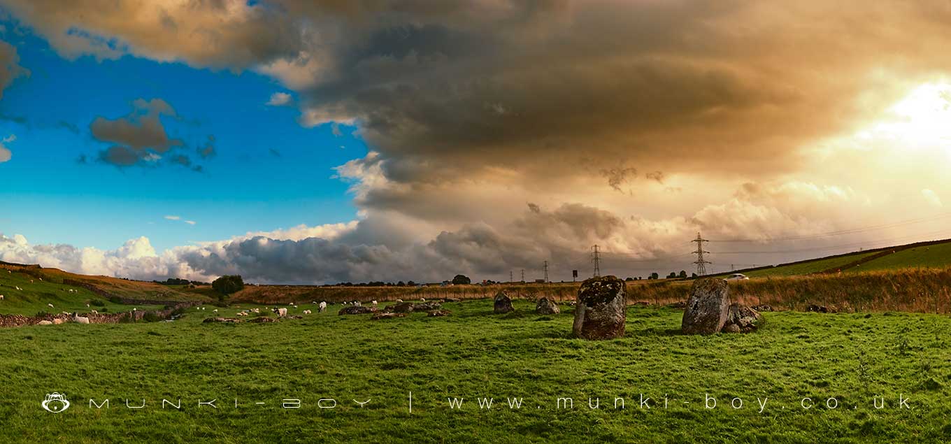
Nestled just 200 meters southwest of Gunnerwell Farm, the Gunnerkeld concentric stone circle is an ancient marvel that stands atop a gentle ridge, proudly telling tales of times long past. A stunning and significant relic from an era gone by, its presence is not just an architectural wonder but also a testament to the ingenuity and the spiritual or cultural significance it held for its builders.
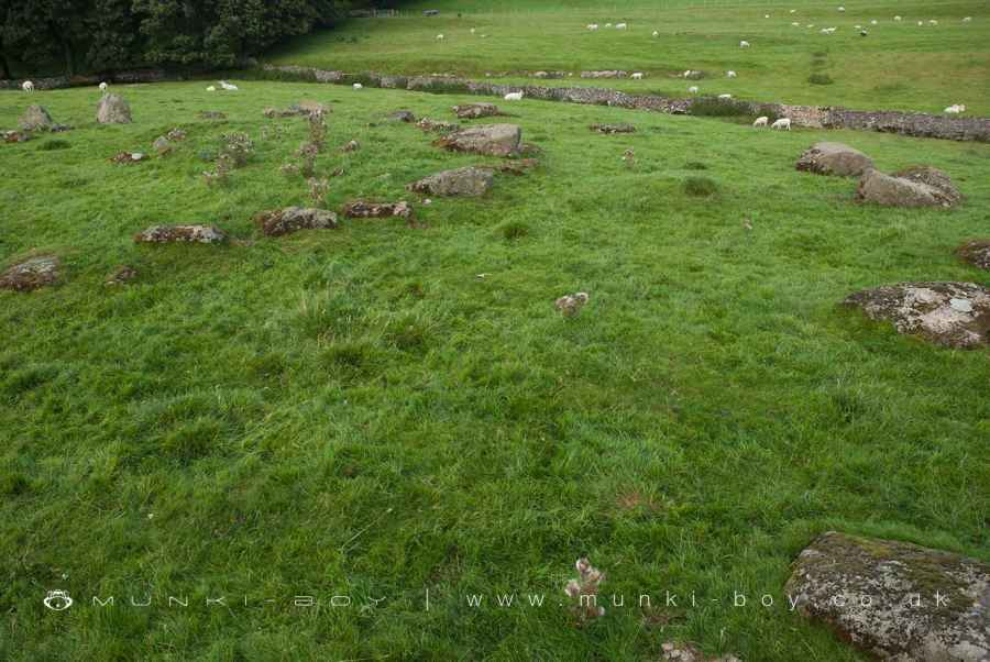
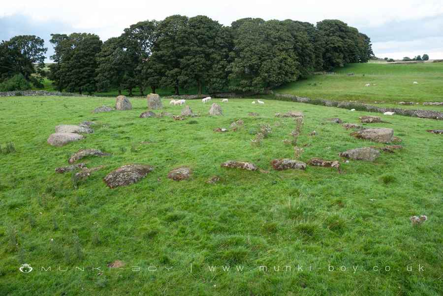
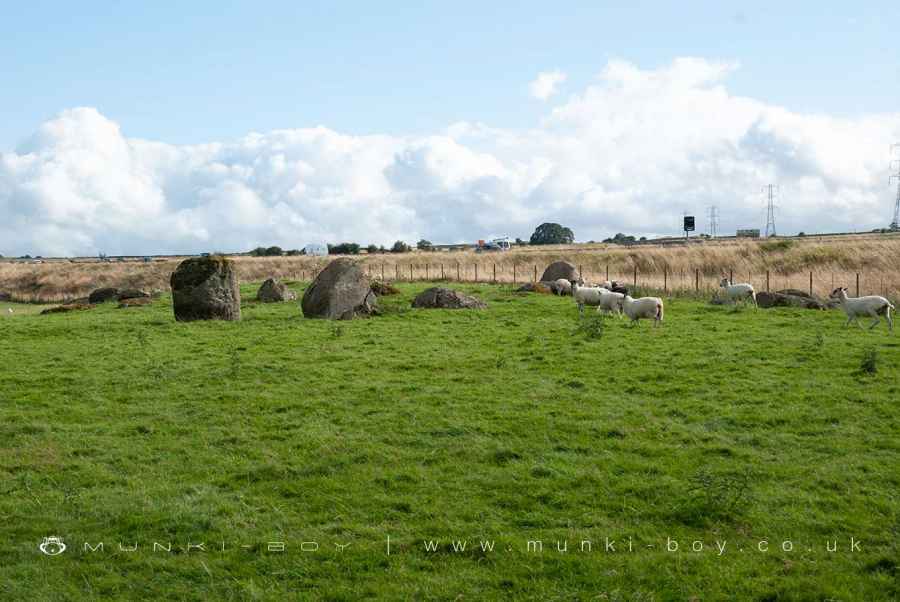
The larger, outer circle of this monument spans approximately 30 meters from north to south and about 24 meters from east to west. It comprises 19 substantial granite stones, with three of them standing upright, reaching impressive heights of just over one meter. These stoic stones silently guard an entrance on the monument’s northern flank, where two of the largest rocks stand as gatekeepers to the circle’s inner sanctum.
Enclosed by the outer ring, the inner circle has its own charm. Measuring about 18 meters north-south and 16 meters east-west, it consists of a dense arrangement of 31 granite stones. More than just a mere arrangement, this inner circle also serves as the kerb for an earth and stone cairn, which rises up to a height of one meter.
Historical records and limited antiquarian investigations hint at the secrets the central cairn may hold. A stone cist, a small stone-built coffin-like box, was discovered during one such excavation, pointing towards the possibility of the site being used for burial or other ritualistic purposes in ancient times.
One of the remarkable things about the Gunnerkeld concentric stone circle is its preservation. Despite the limited investigations, the circle remains in impeccable condition, with the wear and tear of time seemingly having little impact on its structure. This enduring monument provides invaluable insights into the Neolithic or Bronze Age periods of Britain, reminding us of the sophisticated and intricate practices of societies that existed long before our time.
Created: 27 November 2016 Edited: 29 November 2023
Gunnerkeld Stone Circle
Gunnerkeld Stone Circle LiDAR Map

Contains public sector information licensed under the Open Government Licence v3.0
Local History around Gunnerkeld Stone Circle
There are some historic monuments around including:
Round cairn 320m north-north-west of Seal HoweMedieval dyke system and shieling west of Shap AbbeyRound cairn 30m east of Wicker Street Roman RoadShap large regular stone circleHardendale medieval dispersed settlement and site of medieval monastic grangeSkellaw Hill bowl barrowSmall stone circle 220m south-east of Castlehowe ScarRound cairn west of White RaiseBowl barrow 80m east of Scarside PlantationRound cairn 670m north-east of summit of Long Scar PikeEwe Locks Romano-British settlement, Romano-British farmstead and two medieval shielingsRomano-British settlement at Cragside WoodRing cairn on Knipescar CommonMedieval dyke: part of deer park boundary on Hazel Moor and two medieval shielingsBowl barrow on Wickerslack MoorShap Stone AlignmentRound cairn 35m east of summit of Long Scar PikeKeld ChapelMelkinthorpe medieval settlement, part of its associated open field system and the site of Melkinthorpe HallRound cairn on Dale MoorRing cairn on Knipescar Common south of Inscar PlantationRomano-British enclosed stone hut circle settlement and associated field system on Wickerslack MoorBowl barrow 70m south of Iron HillRound cairn on White RaiseShap Premonstratensian Abbey, including the precinct wall, abbey mill and mill race, and two fishpondsBowl barrow on Iron HillEwe Close Romano-British enclosed and unenclosed stone hut circle settlements and associated field system, medieval farmstead and Wicker Street Roman roadBuck Park deerpoundBowl barrow 40m north-north-east of High HaberSmall stone circle on White HagRound cairn 300m west of Lyvennet BeckOddendale concentric stone circleLong barrow on Trainford BrowRound barrow 150m east of Scarside PlantationSlight univallate hillfort in Scarside PlantationWindrigg Hill round cairn, 440m south of High MurberGunnerkeld concentric stone circle.


