Grasmoor by munki-boy
Grasmoor
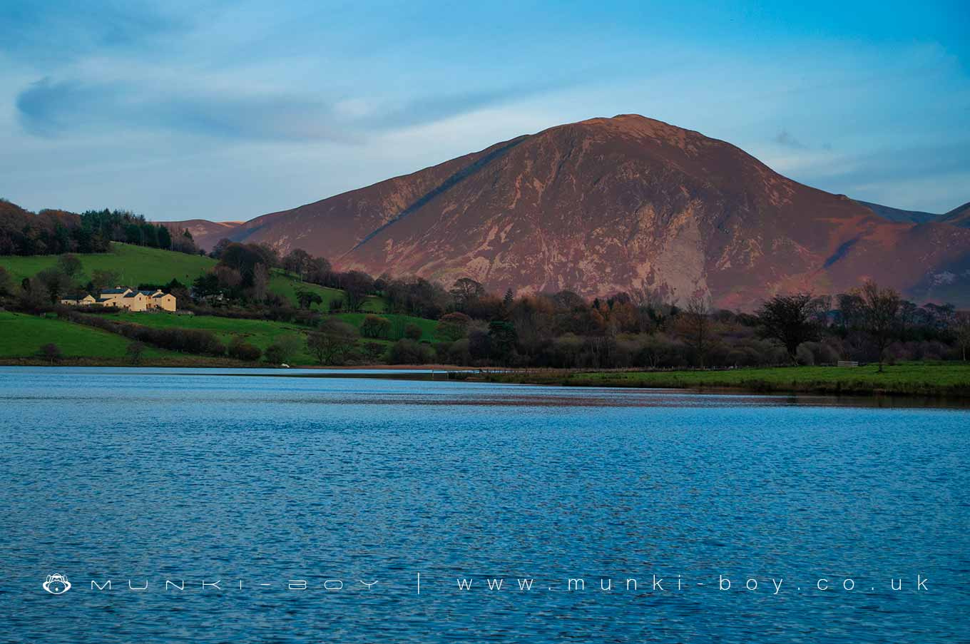
Grasmoor is in The Lake District National Park in England.
Created: 17 April 2021 Edited: 29 November 2023
Grasmoor Details
Grasmoor is a 852 metre high mountain in Cumbria.
Grasmoor
Grasmoor LiDAR Map

Contains public sector information licensed under the Open Government Licence v3.0
Local History around Grasmoor
There are some historic monuments around including:
Moated site of Loweswater PeleGillerthwaite and Dodsgill Beck medieval settlements, associated field systems and cairnfields 790m ENE and 370m north-east of Low GillerthwaiteSmithy Beck settlement 1.43km north-west of Low GillerthwaiteSmithy Beck settlement 1.10km north-west of Low GillerthwaiteForce Crag mines and barytes mill and a prehistoric cairnfieldSmithy Beck settlement: Latterbarrow longhouse 860m north west of Low GillerthwaiteWoundell Beck medieval settlement, associated field system and cairnfield 890m west of Low GillerthwaitePrehistoric cairnfield 1.0km ESE of Low GillerthwaiteShieling settlement close to the mouth of Scale BeckRomano-British enclosed hut circle settlement and associated annexe at Lanthwaite GreenPrehistoric cairnfield and a Romano-British farmstead and its associated field system 1.24 km ESE of Low GillerthwaiteRound cairn on GrasmoorRomano-British farmstead 200m west of Lambing Knott.


