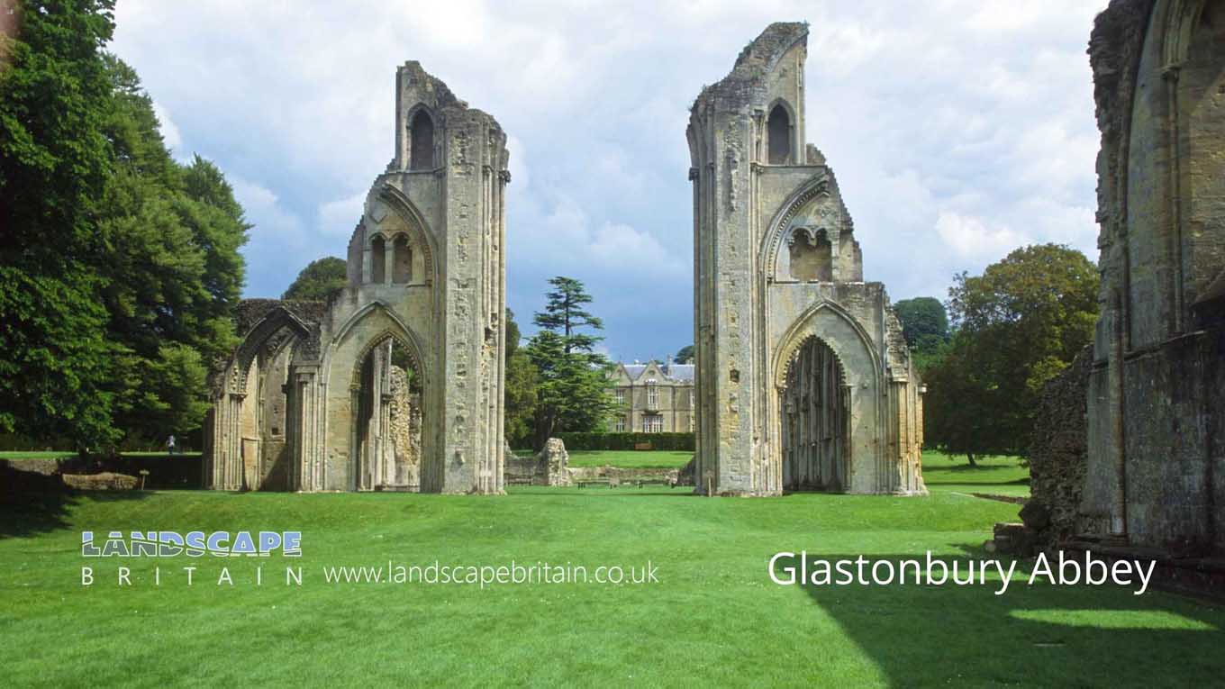
Glastonbury Abbey
Glastonbury Abbey
Glastonbury Abbey is a ruined abbey located in Glastonbury, Somerset, England. The abbey was founded in the 7th century AD, and enlarged in the 10th century. It was destroyed during the Dissolution of the Monasteries in 1539. The ruins became a tourist attraction after they were restored in the 19th century.
The monument includes part of the standing, ruined, and buried remains which together form the greater part of Glastonbury Abbey and its former medieval precinct. The abbey is sited in the center of the town of Glastonbury and, from its foundation in pre-Conquest times until the Dissolution of the Monasteries in 1539, it was protected by a precinct wall which separated the religious community from those outside. It was one of the richest, and at times the richest, of all the Benedictine houses in England.
The pre-Conquest abbey is represented only by remains incorporated into later structures. The oldest parts are two churches which were built before 1066 on either side of Lady Chapel Road that runs through Glastonbury town center. These include fragments of standing walls as well as buried remains visible during excavations below street level. The foundations of a stone building, probably the monks’ dormitory, were uncovered during 19th century excavations on the north side of the abbey church.
Created: 1 May 2022 Edited: 29 November 2023
Glastonbury Abbey Information
Glastonbury Abbey Address
Magdalene St, Glastonbury BA6 9EL, UK
BA6 9EL
Website: http://www.glastonburyabbey.com/
Get directionsGlastonbury Abbey LiDAR Map
please wait...
Contains public sector information licensed under the Open Government Licence v3.0
Local History around Glastonbury Abbey
There are some historic monuments around including:
Glastonbury AbbeyBrowne's GateSection of medieval road, south of Pomparles Bridge, north of StreetDuck decoy 1km south east of Manor FarmThe TribunalDuck decoy, 590m south west of Rice FarmDuck decoy, 950m south west of junction of Westhay Moor Drove and Lewis's DroveDuck decoy in Sharpham Park, 600m south west of Avalon FarmThe Abbey Barn at Abbey FarmBeckery Chapel and cemetery (site of)Tinney's trackways, west of Sharpham BridgeCompton Dundon hillfort with Dundon Beacon, east of DundonRoman villa NW of Two Acre PlantationBishop's palaceThe Abbot's Fish House and fishpondsMedieval farmstead, E of Butleigh WoodSt Michael's Church, monastic remains, and other settlement remains on Glastonbury TorCentral of three duck decoys on Walton Moor, south of Lord Bath's DroveLinear earthwork in Butleigh WoodPart of the Hospital of St Mary Magdalene, Magdalene StreetEarly Christian settlement and monastic site at Marchey FarmGlastonbury lake villageThe easternmost of three duck decoys on Walton MoorFenny Castle Cross: a medieval wayside cross 20m north west of Castle Farm, CastleFenny Castle: a motte and bailey castlePonter's Ball linear earthwork.


