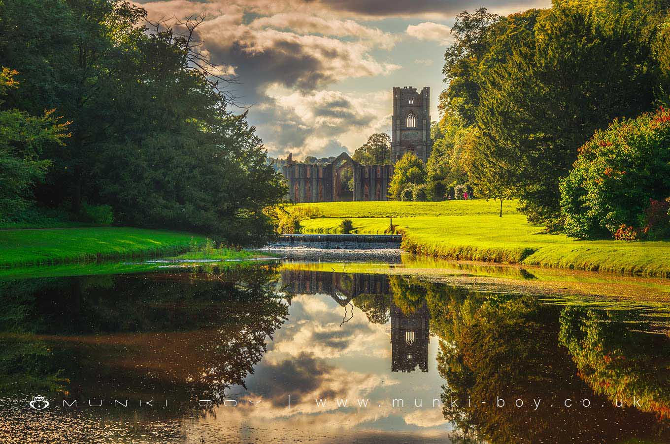
Fountains Abbey and Studley Royal Water Garden by munki-boy
Fountains Abbey and Studley Royal Water Garden
Studley Royal Park including the Ruins of Fountains Abbey is a designated World Heritage Site.
The Abbey, founded in 1132 by Benedictine monks, was once one of the richest monasteries in England. The picturesque ruins are set in 800 acres (324 hectares) of deer park and formal gardens, surrounding a magnificent 18th-century water garden.
Fountains Hall is a fine example of a Jacobean mansion, built in 1604. It was the home of the Mallinson family for over 250 years and is now owned by the National Trust. The house is open to the public and contains a unique collection of furniture, paintings and tapestries.
The Water Garden is one of the most complete Georgian landscapes in Europe and was created by John Aislabie, Chancellor of the Exchequer under George I. It is a masterpiece of design, with cascades, lakes, islands and temples.
Fountains Abbey and Studley Royal Water Garden is in Nidderdale AONB, a designated Area of Outstanding Natural Beauty.
Created: 14 March 2022 Edited: 29 November 2023
Fountains Abbey and Studley Royal Water Garden Information
Fountains Abbey and Studley Royal Water Garden Address
Ripon HG4 3DY, UK
HG4 3DY
Website: https://www.nationaltrust.org.uk/fountains-abbey-and-studley-royal-water-garden
Get directionsSkell from Source to River Laver Details
Skell from Source to River Laver
Skell from Source to River Laver is a river in North Yorkshire
Skell from Source to River Laver takes in water from an area around 37.633 km2 in size and is part of the Ure Middle and Lower catchment area.
Skell from Source to River Laver is 22.151 km long and has been heavily modified by industry in the past.
Fountains Abbey and Studley Royal Water Garden LiDAR Map
please wait...
Contains public sector information licensed under the Open Government Licence v3.0
Local History around Fountains Abbey and Studley Royal Water Garden
There are some historic monuments around including:
Cross base in All Saints' churchyardSt Anne's ChapelRound barrow 250m west of WallerthwaiteMedieval monastic grange and site of medieval settlement at NinevahMarkenfield Hall moated medieval fortified house with associated service buildings and park paleFountains Cistercian Abbey; monastic precinct, mill, water management works, agricultural and industrial features and 18th century gardensWallerthwaite medieval villageRipon Minster CloseAiley HillCastle Dikes defended Roman villaMotte and bailey castle, known as Mowbray Castle, east of Kirkby MalzeardRipley Park crossMedieval deer park pale surrounding Fountains ParkCistercian grange and medieval settlement at High CaytonVillage cross with sundial and stocksMedieval monastic fishponds immediately east of Park HouseButterton BridgeSite of medieval chapel and section of Fountains Park park pale, 170m south west of How Hill Farm.


