Foggs (ruin) by munki-boy
Foggs (ruin)
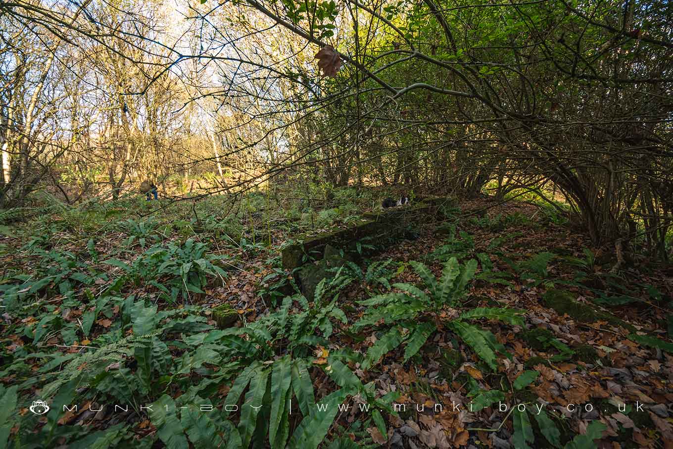
The flattened ruins of an old 18th Century farmstead and later cottages that remained in use until the latter half of the 20th Century.
Created: 15 February 2025 Edited: 3 April 2025
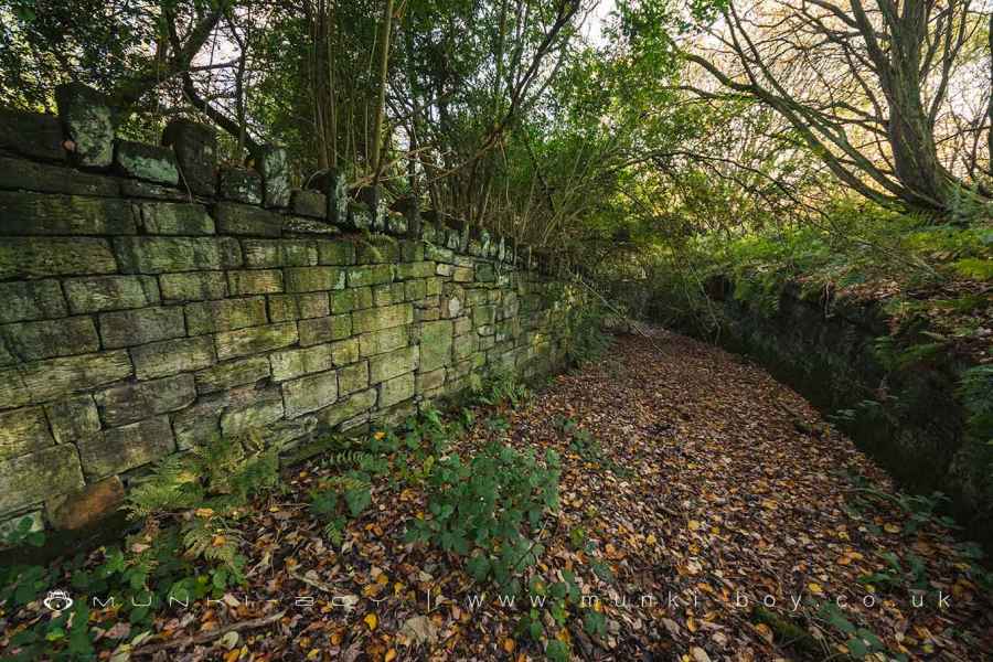
Remains of Foggs Lane at Darcy Lever Gravel Pits
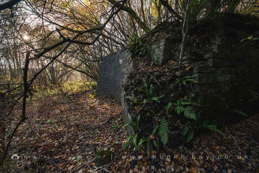
Remains of an aqueduct that took the Manchester, Bolton and Bury Canal over Foggs Lane at Darcy Lever Gravel Pits
Foggs (ruin)
Foggs (ruin) LiDAR Map
Loading LiDAR
please wait...
please wait...
Contains public sector information licensed under the Open Government Licence v3.0
Local History around Foggs (ruin)
There are some historic monuments around including:
Astley Green Colliery: engine house and headgearLime kiln and associated culvert 50m north of Worsley Methodist ChurchAffetside Cross at Affetside 75m north west of the Pack Horse InnNew Hall Moat, Astley, 200m north of Astley HospitalRingley Old BridgeWardley Hall moated site, WorsleyCanal tunnel entrances and wharf.


