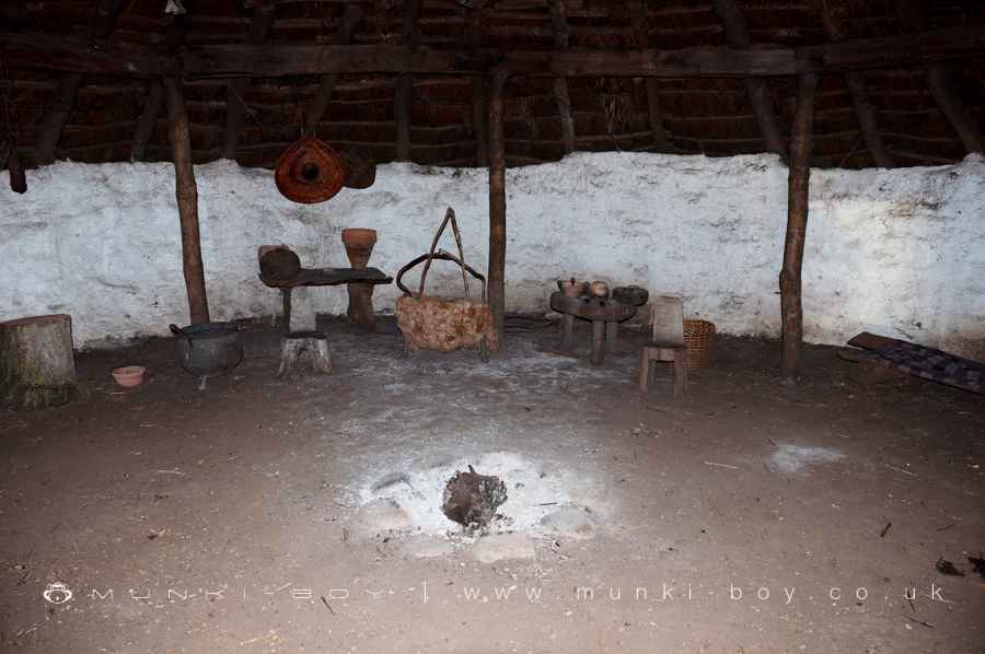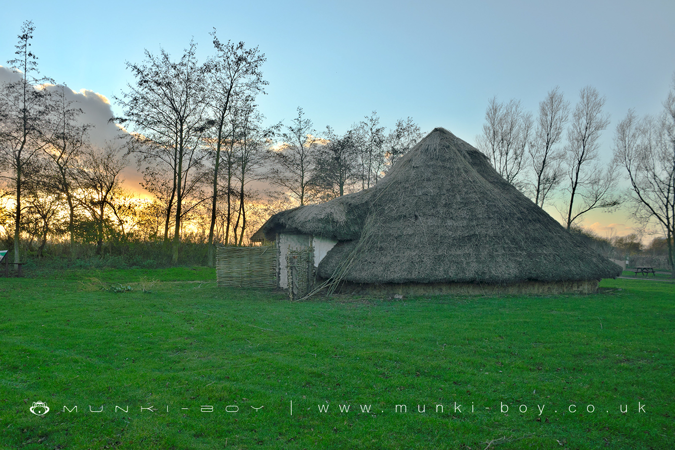
Reconstruction of a Bronze Age Hut at Flag Fen by munki-boy
Flag Fen Ancient Settlement
Flag Fen is an extraordinary Bronze Age site located near Peterborough, renowned for its unique timber causeway and platform, which have provided remarkable insights into the lives, beliefs, and practices of prehistoric communities. Situated at the fen-edge, the site represents a crucial transitional landscape between dry land and wet fen, utilised by ancient peoples for settlement, ritual activity, and agricultural innovation over millennia.
Archaeological Discovery and Excavations
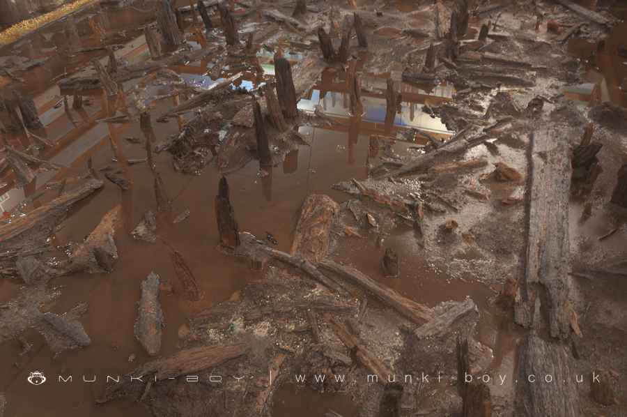
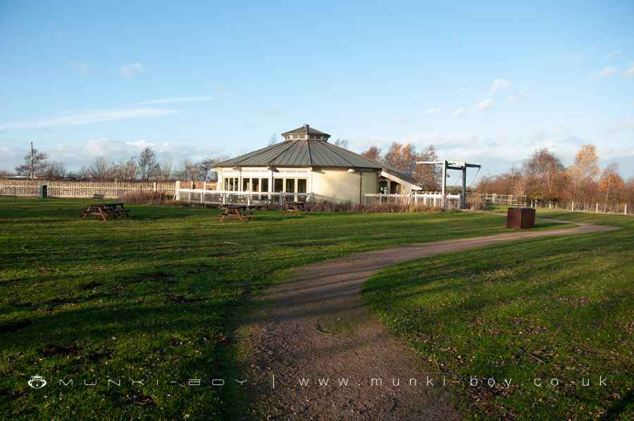
The significance of Flag Fen was first recognised in the early 20th century, with investigations of the nearby gravel pits in Fengate by George Wyman Abbott. Systematic archaeological research began in earnest in the late 1960s, prompted by Peterborough’s designation as a New Town and the subsequent industrial development of the area. Major excavations in the 1970s, funded by the Royal Ontario Museum and other organisations, laid the groundwork for understanding the site’s complexity. In 1982, a section of waterlogged timber was uncovered, later identified as part of a 1km-long causeway and associated platform. This discovery spurred further excavations through the 1980s and 1990s, leading to the establishment of the Flag Fen Visitor Centre in 1987, where key parts of the timber structure are preserved and displayed.
The Causeway and Platform
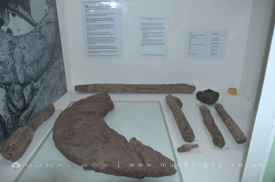
The timber causeway, dating from around 1300 BC, spans the Flag Fen basin, connecting the dry land of Fengate with the raised ground of Northey. Built in three main phases over 400 years, the structure includes rows of timber posts, predominantly alder and oak, supporting horizontal timbers and walkways. The causeway’s construction reflects advanced engineering, with features such as gravel surfaces to improve grip and drainage on the wet, slippery path. The main route lies between two rows of posts, with openings providing access to pools and platforms along its length.
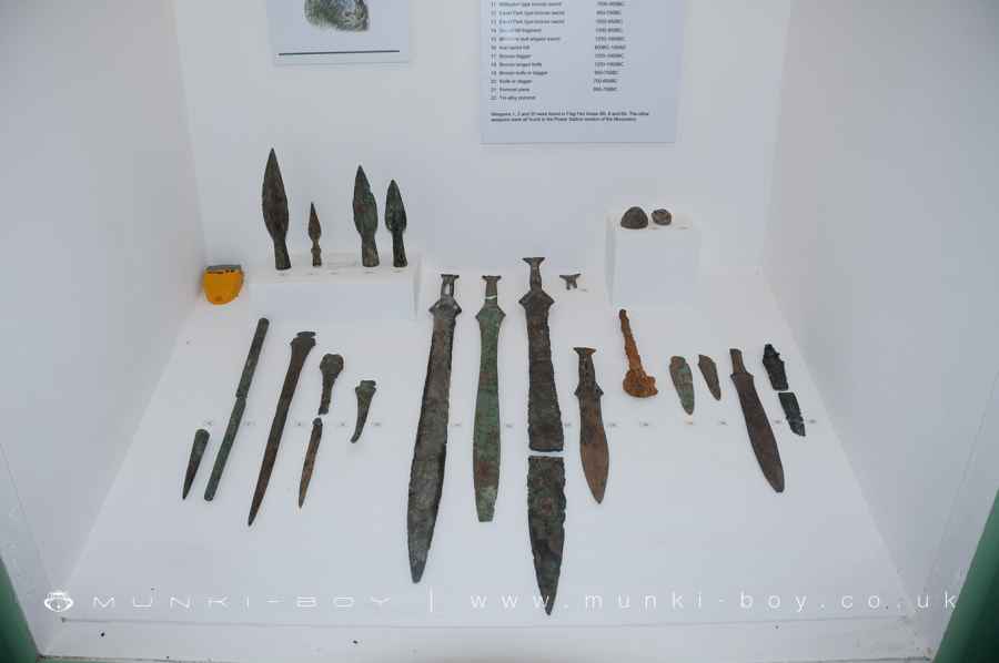
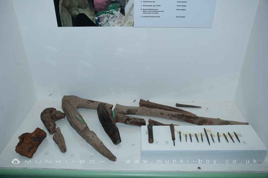
The associated platform, initially thought to be domestic, is now understood to have a predominantly ritual function. Archaeological evidence suggests the platform was used for ceremonies, including the deposition of offerings into the water below. These offerings range from personal ornaments and tools to weapons, many deliberately broken or disabled, reflecting complex spiritual practices. Fragments of human remains found at the site have led to theories that the platform may also have been used for funerary rites, such as the laying out of bodies after death.
Environmental and Historical Context
Flag Fen developed in response to the changing environment of the Bronze Age. Rising water levels in the fen from around 2030 BC created challenges for local communities, who adapted by constructing the causeway to maintain access to essential resources and territories. Seasonal flooding made the fen both a barrier and a fertile landscape, with the wetland environment providing grazing land and materials for construction and craft. Peat and alluvial deposits gradually covered the causeway by the Roman period, leaving the site hidden until its rediscovery.
The fen-edge was a hub of activity during the Late Bronze Age and Early Iron Age. Nearby cropmarks and archaeological features reveal a landscape of fields, droveways, and settlement enclosures. The alignment of the causeway with Fengate droveways suggests it served not only practical purposes but also reinforced territorial boundaries and cultural connections across the fen.
Ritual Significance
The deposition of items at Flag Fen highlights its ceremonial importance. Weapons, tools, and jewellery were placed carefully along the causeway, often grouped by type and location, suggesting a ritualised process. The deliberate breaking of objects before deposition indicates that these acts were not merely offerings but symbolic gestures, possibly meant to transfer power or appease spiritual forces. The presence of human remains further emphasises the site’s significance as a place of transition, not only between land and water but also between life and death.
Roman and Later Use
By the Roman period, the Flag Fen basin was covered by peat and alluvium, obscuring the prehistoric structures. However, the raised line of the causeway may have served as a marker for Roman surveyors constructing the Fen Causeway, a road connecting the Roman settlement of Durobrivae with Norfolk. Evidence of cropmarks and enclosures suggests continued use of the landscape during the Roman era, including a possible Romano-Celtic temple or wayside inn.
Preservation and Legacy
Flag Fen’s waterlogged conditions have been critical in preserving its timber structures, making it one of the best-preserved Bronze Age sites in Europe. The establishment of a protective lake at the Visitor Centre ensures the ongoing preservation of exposed timbers. The site offers a unique opportunity to experience prehistoric engineering and ritual practices firsthand. Visitors can explore reconstructed roundhouses, view preserved timbers in the Preservation Hall, and walk the landscapes that shaped life in ancient Britain.
Flag Fen remains a powerful reminder of the ingenuity, resilience, and spiritual depth of the communities who lived at the threshold of water and land, leaving behind one of the most remarkable archaeological legacies of the Bronze Age.
Created: 27 November 2016 Edited: 12 February 2025
