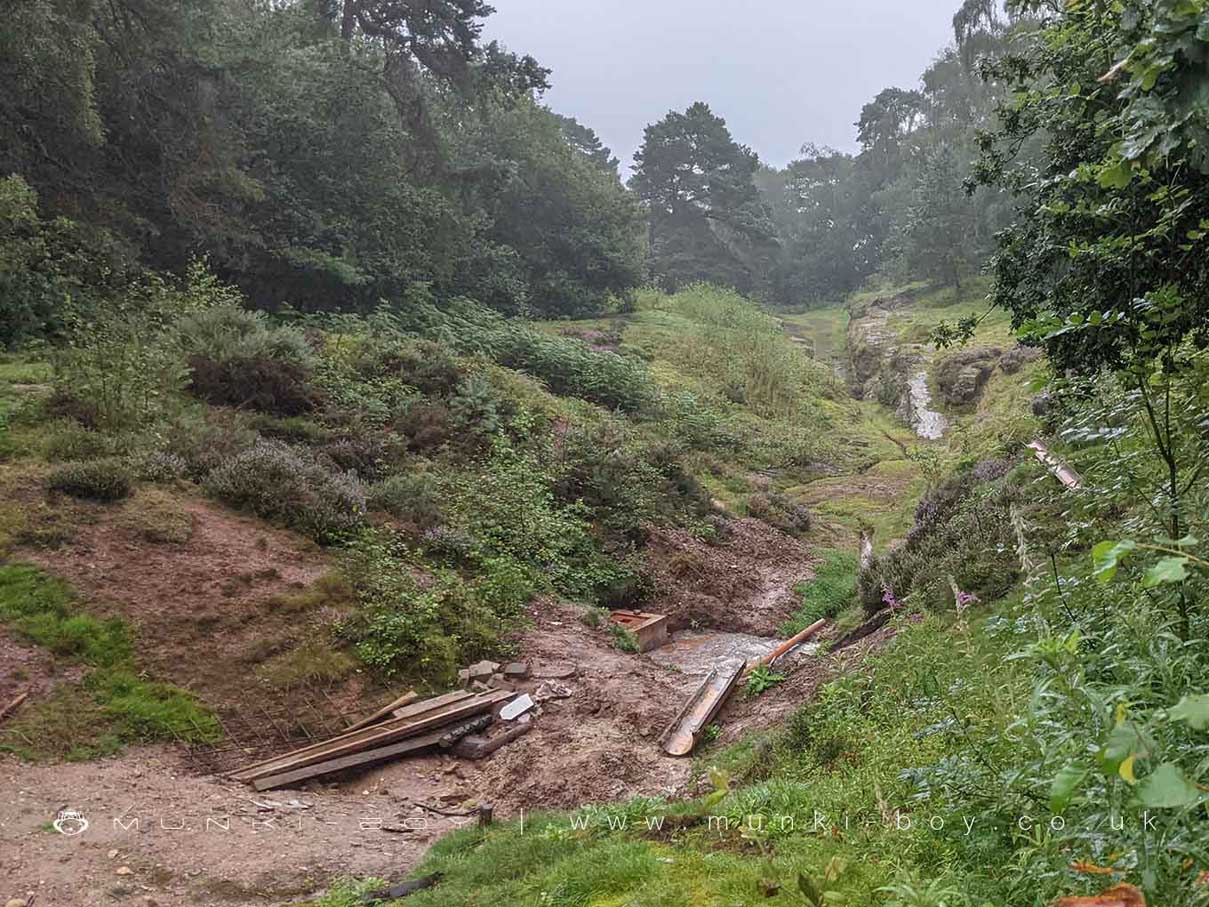
Engine Vein at Alderley Edge by munki-boy
Engine Vein
A mineral vein in the Alderley Edge copper mines, said to have been a site of mining activity for over 4000 years.
This section of the mines has been surveyed and found to be in danger of imminent collapse.
Created: 25 August 2021 Edited: 29 November 2023
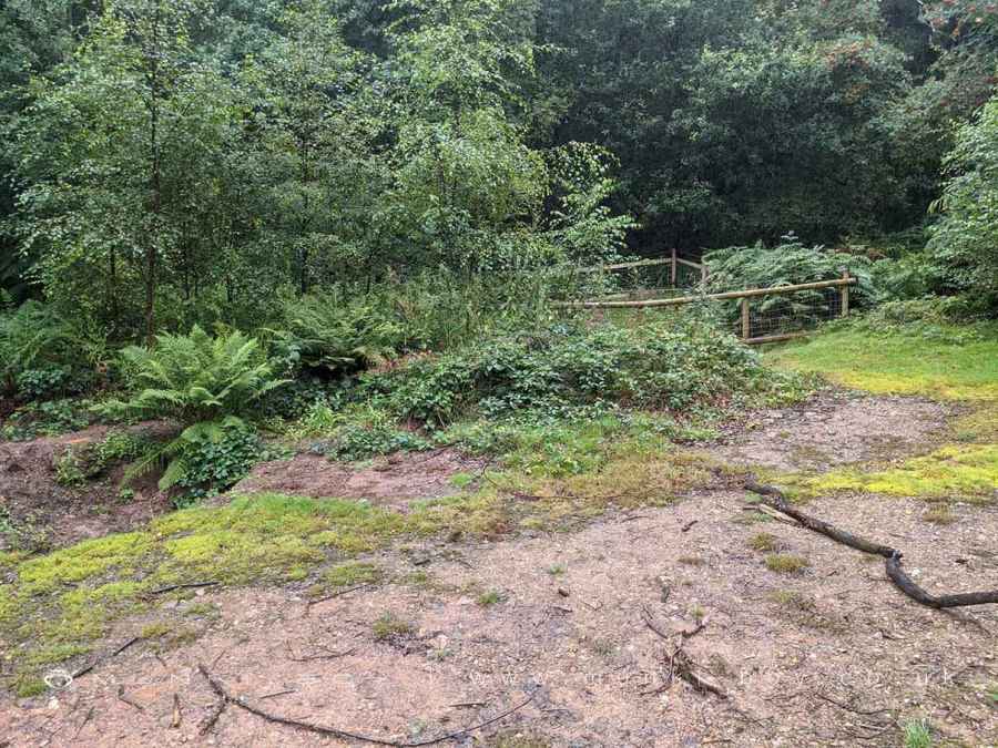
Fenced-off Area of Engine Vein being allowed to collapse
Engine Vein
Engine Vein LiDAR Map
Loading LiDAR
please wait...
please wait...
Contains public sector information licensed under the Open Government Licence v3.0
Local History around Engine Vein
There are some historic monuments around including:
Bowl barrow 450m south-east of Capesthorne HallFoxtwist moated site, two fishponds and connecting channelsCross shaft in the churchyard of St Peter's ChurchEarthwork remains of a medieval hall, chapel and settlement, 290m south east of Capesthorne HallChurchyard cross at St Mary's ChurchCross at Nether Alderley on the crossroads of Welsh Row and Congleton RoadWood Mine cobalt works and associated mines, 340m east of White Barn FarmThe Armada Beacon, Alderley EdgeStanding cross on Prestbury Road, 150m south east of Lane End crossroadsBowl barrow 370m east-south-east of Bearhurst FarmBowl barrow 230m west-south-west of Birtles HallMedieval boundary marker at Saddlebole, 180m west of Findlow FarmGawsworth Hall gardensEngine Vein opencast copper mine, 150m north of Warden's CottageThe Golden Stone boundary marker, 250m north west of Edge House FarmThe Great Merestone medieval boundary marker on Finlow Hill, 245m east of Mottram HouseBowl barrow 200m north-east of Capesthorne HallChorley Old Hall moated site and four fishpondsStanding cross base near the junction of Church Lane and Woodhouse Lane, 600m NNW of New Hall Farm.


