
East Marton by munki-boy
East Marton
East Marton is in The Yorkshire Dales National Park in England.
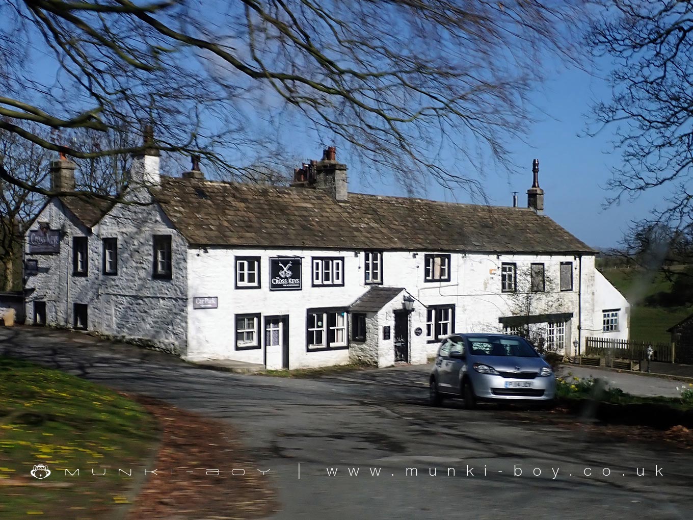
East Marton is a small village in North Yorkshire, situated about five miles west of Skipton along the A59. It lies on the route of the Leeds and Liverpool Canal, which passes directly through the village and adds a distinctive character to the area. The canal is a popular route for walkers and cyclists, with a well-maintained towpath and scenic views across the surrounding countryside.
One of the most notable features in East Marton is the unusual double-arched bridge that carries the A59 over the canal. Originally a packhorse bridge, it was expanded in the 18th century when the road was developed, resulting in the layered arch structure visible today. The bridge is a well-known landmark along the canal route.
The village also has a long religious history. St Peter’s Church, located just above the canal, dates back to Norman times. It features a square tower and has been extended and restored over the centuries, with significant work done in the 17th and 19th centuries. The churchyard is quiet and surrounded by open views.
East Marton forms part of the civil parish known as Martons Both, which includes nearby West Marton. The population of the parish remains small, with around two hundred residents recorded in the last census. The village is primarily residential, with traditional stone houses and working farms forming the main fabric of the community.
Although small, East Marton is frequently visited by people using the canal and forms part of several walking routes in the area. It remains a peaceful rural village with a strong sense of local history and a landscape shaped by both agriculture and the canal network.
Created: 1 April 2025 Edited: 1 April 2025
East Marton
Local History around East Marton
There are some historic monuments around including:
Ring cairn on Rectory AllotmentIcehouse in Coniston Hall Park, 390m south east of Coniston HallRound barrow north of Moor Syke, Crane FieldRound cairn 230m west of Bleara LoweEnclosure on Steeling HillLower Colgarth Hill round cairnCup marked rock in wall east of Scarnber Wood, 500m north east of Bark Laithe, WinterburnRound barrow 550m south west of Park HillPillow mounds east of Friars Head, known as Giants' GravesCrane Field round barrowRoman villa at Kirk SinkStock medieval settlement and part of its associated medieval open field systemBleara Lowe round cairnBurwen Castle Roman fortsMoated site W of Paget HallSite of Old HallRound barrow 400m south west of Crane Field Laithe.


