Ease Gill by munki-boy
Ease Gill
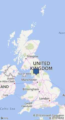
Ease Gill is in The Yorkshire Dales National Park in England.
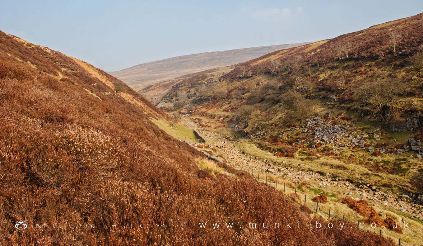
Ease Gill is a small valley in the Yorkshire Dales. Ease Gill cuts the moors between Casterton Fell on the west and Leck Fell and Ireby Fell on the east.
The Ease Gill valley carries the waters of Leck Beck, parts of which feed the Ease Gill Caverns cave system which lies beneath the moors. It is currently believed to be the largest and most complex cave system in Great Britain.
Ease Gill Kirk is a steep sided, sheltered limestone ravine found towards the lower end of Ease Gill. It contains waterfalls and several entrances to the Ease Gill Caverns system.
Created: 27 November 2016 Edited: 29 November 2023
Ease Gill
Leck Beck (Ease Gill) Details
Leck Beck (Ease Gill)
Leck Beck (Ease Gill) is a river in Lancashire
Leck Beck (Ease Gill) takes in water from an area around 28.398 km2 in size and is part of the Lune - Rawthey to Greta catchment area.
Leck Beck (Ease Gill) is 14.602 km long and is not designated artificial or heavily modified.
Local History around Ease Gill
There are some historic monuments around including:
Roman milestone 500ft (150m) SE of Overtown FarmRoman milestone near Middleton vicarageHigh Stockdale BridgeDevil's BridgeCastle Hill prehistoric defended enclosureSaucer barrow, 350m east of Middleton HallPrehistoric, Romano-British, medieval and early post-medieval settlements, field systems and a deer park at High Park, east of Bindloss FarmRomano-British enclosed hut circle settlement 375m ENE of CollingholmeHowerigg settlementStone circle 200yds (180m) SE of Langthwaite Gill PlantationEnclosed settlement and hut circles, 250m NNE of BorwensHodge BridgeCastle Hill motte and bailey castleMiddleton Hall, curtain wall with gatehouseMeal Bank Quarry Hoffmann kiln, quarry and lime worksSettlement 440yds (400m) SW of Twistleton HallGawklands Romano-British farmstead 200m east of YewtreeSculptured cross near Shamrock Wood, Whelprigg.


