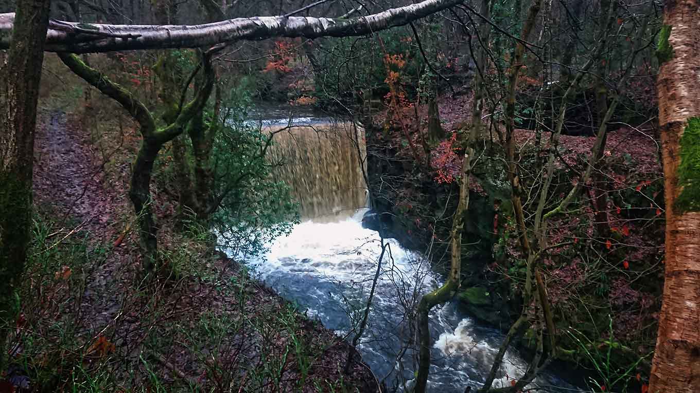
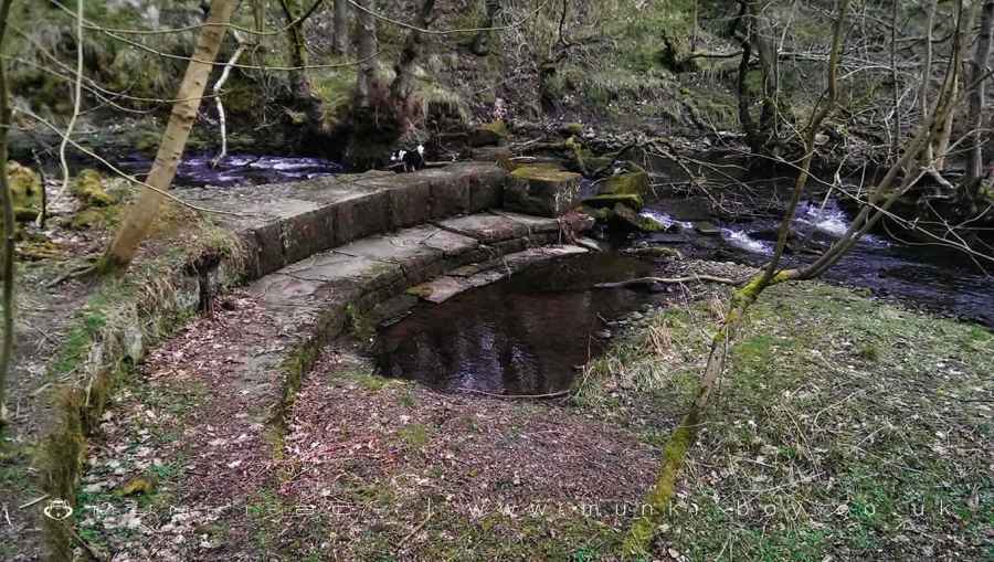
Weir on Eagley Brook by Simon Owen
Eagley Brook Weirs
Some old industrial weirs on the Eagley Brook, probably associated with the Dunscar Bleach Works that was situated downstream.
Muddy and difficult, not on the public footpath.
Created: 13 March 2021 Edited: 29 November 2023
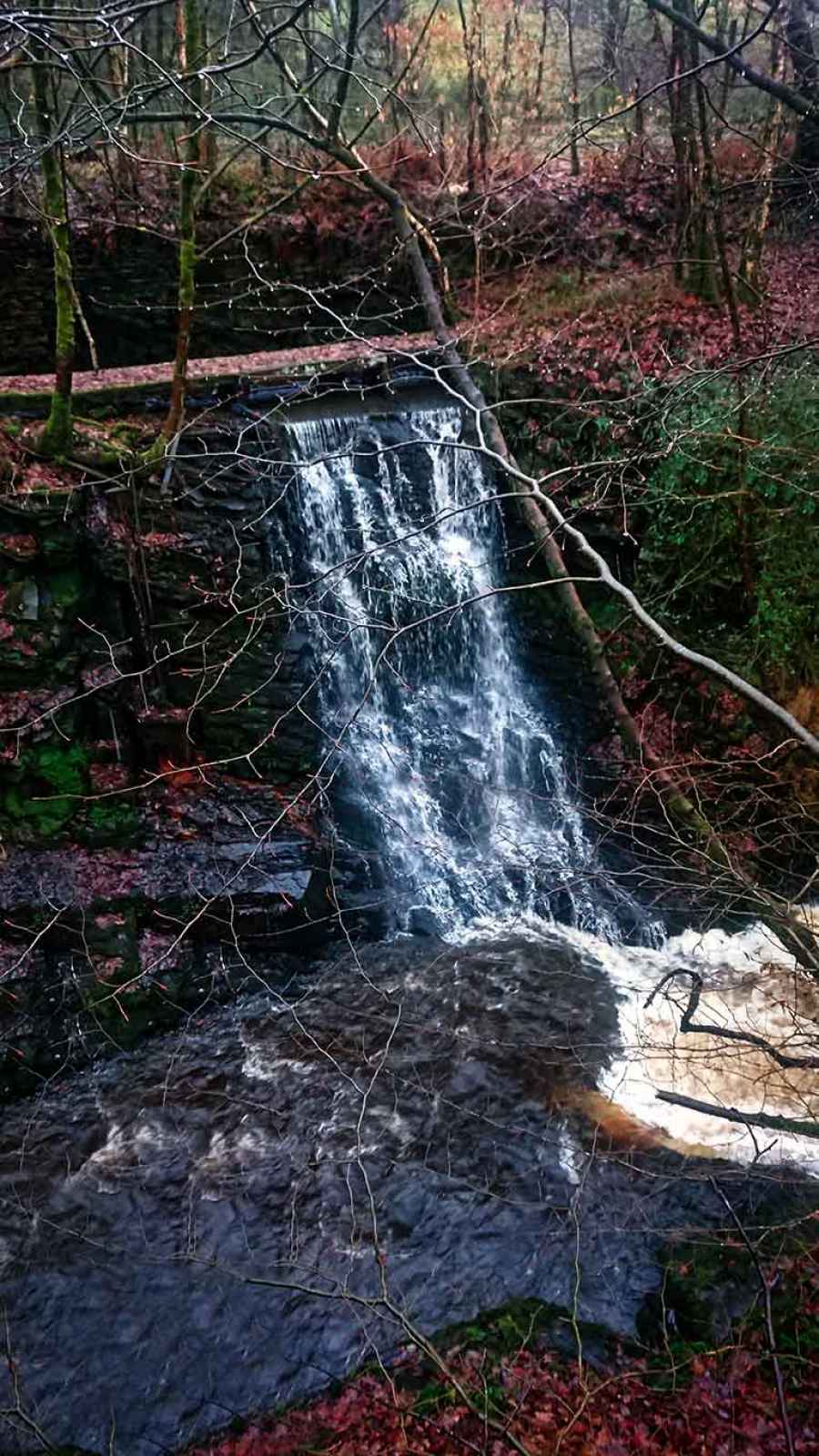
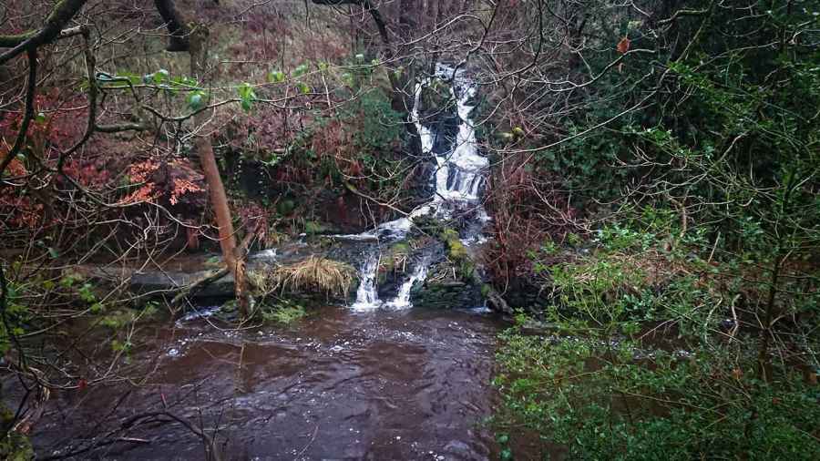
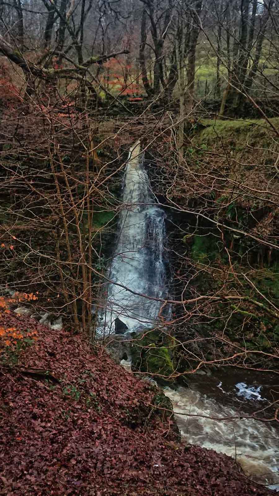
Eagley Brook Weirs
Eagley Brook Details
Eagley Brook
Eagley Brook is a river in Greater Manchester
Eagley Brook takes in water from an area around 31.536 km2 in size and is part of the Croal Irwell catchment area.
Eagley Brook is 11.848 km long and has been heavily modified by industry in the past.
Eagley Brook Weirs LiDAR Map
please wait...
Contains public sector information licensed under the Open Government Licence v3.0
Local History around Eagley Brook Weirs
There are some historic monuments around including:
Affetside Cross at Affetside 75m north west of the Pack Horse InnCoking ovens and associated coal workings on Aushaw Moss 450m south west of Lower HouseRoman road at Bottom o' th' Knotts BrowStone circle, ring cairn and two round cairns on Cheetham CloseSteam tramway reversing triangleRound cairn 280m west of Old Harpers Farm.


