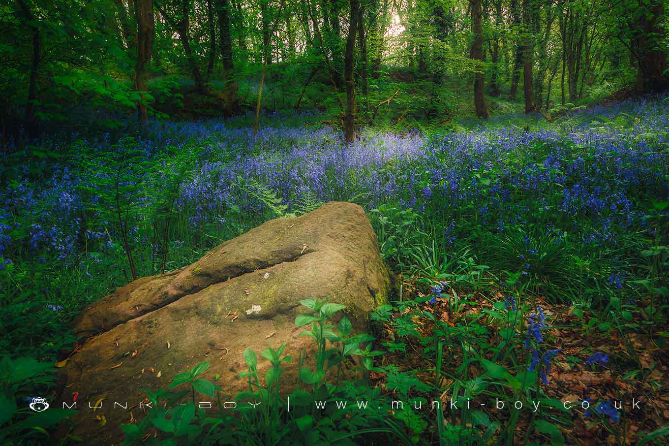
Bluebells in Duxbury Woods by munki-boy
Duxbury Woods
A beautiful woodland along the River Yarrow, full of wildflowers in Spring.
Created: 26 October 2019 Edited: 29 November 2023
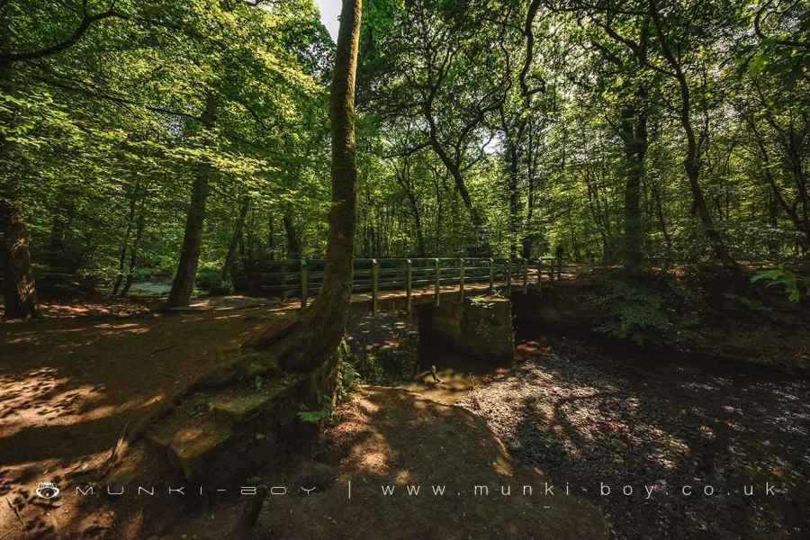
Bridge Over Eller Brook in Duxbury Woods
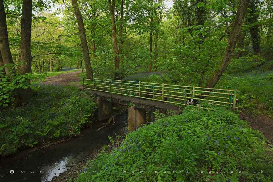
Bridge Over the Yarrow from Duxbury Park to Big Wood
Duxbury Park
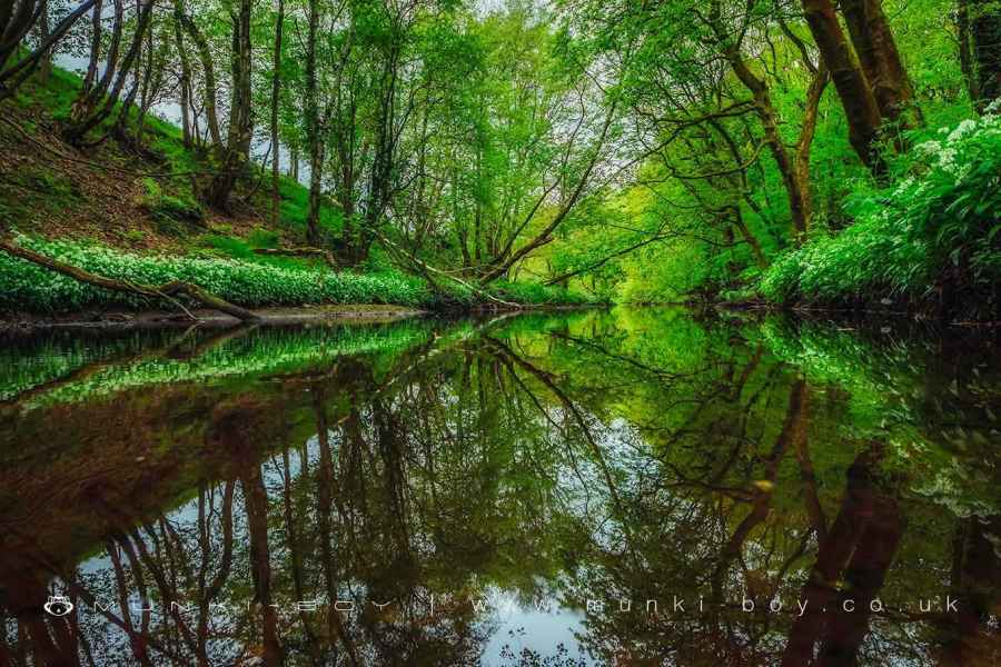
The River Yarrow at Duxbury
Duxbury Woods


Duxbury Woods LiDAR Map

Contains public sector information licensed under the Open Government Licence v3.0
Local History around Duxbury Woods
There are some historic monuments around including:
Cross base on Standish Wood Lane 700m south east of Standish HallMoated site of Clayton Hall, adjacent fishponds and channelsBoar's Den bowl barrowBradley Hall, moated site, fishponds and connecting channelsMarket cross in the marketplace to the west of St Wilfrid's Church, StandishHaigh Sough mine drainage portal, 310m west of Park HouseCross base at the junction of Standish Green Lane, Standish Wood Lane and Beech Walk, 200m NNW of Strickland House Farm, StandishMoated site at Arley Hall, Haigh near WiganThe Moat House moated site 600m WNW of St David's ChurchBretters Farm moated site and two fishpondsCross base on Green Lane 300m north of Strickland House Farm, Standish.