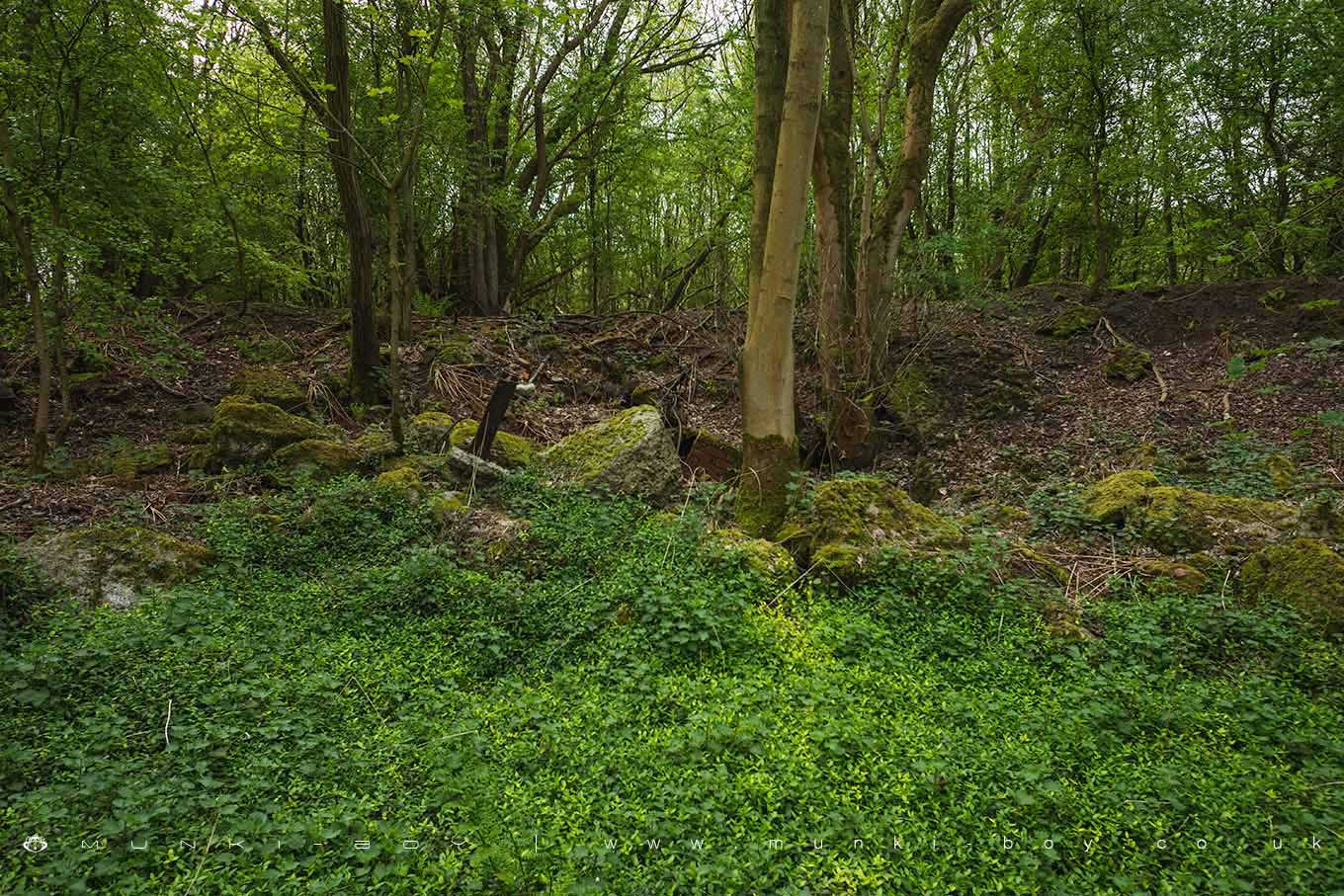
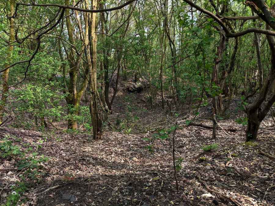
Remains of Duxbury Park Colliery by munki-boy
Duxbury Park Colliery (ruin)
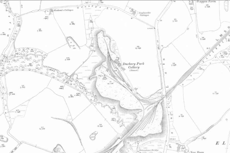
Duxbury Park Colliery was quite large in its day around the turn of the 20th Century having spread a good deal of spoil across the landscape the colliery was served by the Ellerbeck Branch of the London, Midlands and Scotland Railway purpose made for Duxbury Park and nearby Ellerbeck Collieries.
Duxbury Park Colliery had two main shafts and a number of local coal seams are available below ground here all the way down to the “Bone Coal”, at around 130 metres below ground - I don’t know how deep the shafts were here but it would appear there were eight different seams to choose from in the strata below. The first coal encountered would have been only about 7 metres below ground.
The rubble and spoil from the colliery spread over a wide area of ground but there isn’t a lot to see that isn’t mangled or buried, there is a large, flat area adjacent to the current industrial buildings for the numerous railway sidings that would have been next to the old colliery buildings and mineshafts.
Created: 2 November 2019 Edited: 29 November 2023
Duxbury Park Colliery (ruin)
Duxbury Park Colliery (ruin) LiDAR Map
please wait...
Contains public sector information licensed under the Open Government Licence v3.0
Local History around Duxbury Park Colliery (ruin)
There are some historic monuments around including:
Cross base at the junction of Standish Green Lane, Standish Wood Lane and Beech Walk, 200m NNW of Strickland House Farm, StandishThe Moat House moated site 600m WNW of St David's ChurchMoated site at Arley Hall, Haigh near WiganMabs Cross on Standishgate, 20m west of Mabs Cross School buildingCross base on Green Lane 300m north of Strickland House Farm, StandishGidlow Hall moated site, Aspull, 560m NNE of Pennington HallHeadless Cross, GrimefordBretters Farm moated site and two fishpondsPike Stones chambered long cairnMarket cross in the marketplace to the west of St Wilfrid's Church, StandishCross base on Standish Wood Lane 700m south east of Standish HallHaigh Sough mine drainage portal, 310m west of Park House.