Darley Dale by munki-boy
Darley Dale
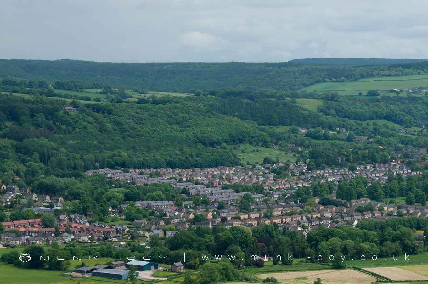
Darley Dale is in The Peak District National Park in England.
Created: 6 March 2021 Edited: 29 November 2023
Darley Dale
Local History around Darley Dale
There are some historic monuments around including:
Harboro' CaveField system and stone circle on Rabbit Warren, 1150m south east of Park FarmRound cairn on Harland EdgeBowl barrow on Calton Pastures, 600m south-west of Calton HousesDoll Tor stone circle and cairnBlack Rakes, Welshmans Venture and Bondog Hole Mines, and Merry Tom and Thumper Sitch LevelsWorkshops, offices and terminus (Cromford and High Peak Railway)Cairnfield 650m north west of Bumper CastleGorseydale lead mines, 300m north and 650m north west of Moor FarmCairn on Harland EdgeAqueduct, 328m south east of Aqueduct CottageMoot Low bowl barrowHillcarr Sough and associated lime kiln and paved trackBowl barrow on Calton Pastures, 1200m west of Calton HousesCairnfield on Beeley Moor, east of Hell Bank PlantationBowl barrow on Masson HillMiddleton Top winding engine house, wheels and wheel-pitNether Haddon medieval settlement and part of an open field system, Romano-British field system and lead mining remains, 600m south west of Haddon HallLumsdale Mills and associated water management featuresCromford Canal engine house, engine and aqueductBonsall Leys lead minesCairnfield 700m north east of Raven TorMiddleton Moor platformed bowl barrowGreen Low chambered tombRound cairn on Harland EdgeEntrance to Long Sough west of Allen's HillRailway embankment N of WirksworthBowl barrow on Calton Pastures, 950m west of Calton HousesHob Hurst's House: a square, banked and ditched burial cairn with cist on Harland EdgeTwo cairns on Beeley Moor, east of Hell Bank PlantationCairn 450m north east of Raven TorCairnfield 800m west of Nether Rodknoll FarmRing cairn and cairn 750m north west of Bumper CastleRound cairn on Harland EdgePromontory fort south of Ballcross FarmSite of bole 1400m west of Harewood GrangeNorthern Dale lead minesBowl barrow on Longside Moor, 450m north of Harewood GrangeBronze Age burial, ceremonial and settlement remains on Stanton Moor, and evidence for medieval, post-medieval and 19th to early 20th century activityRound cairn on Harland EdgeRound cairn 970m south of Hob Hurst's HouseRound cairn 275m south east of Hob Hurst's HouseCairn 600m south of Raven TorRound cairn on Harland EdgeLead workings in High Tor Recreation GroundCairnfield on Gibbet Moor west of Umberley Brook, 1.2km south west of Dalebrook HouseCairnfield 390m south of Syda FarmRodknoll fancy barrowBowl barrow on Calton Pastures, 625m WSW of Calton HousesDarley BridgeCairn cemetery on Gibbet Moor, 1100m south west of Stonelow FarmGreen Low bowl barrow, west.Triple cairn, cairnfield and bole sites extending south westwards from Raven TorCairnfield and standing stones east of Bunker's Hill Wood, 1km north east of Park FarmRound cairn 890m SSW of Hob Hurst's HouseCairnfield and ring cairn on Rabbit Warren, 650m south east of Park FarmCairnfield and barrow on Rabbit Warren, 900m south east of Park FarmCairnfield with enclosure, house platform and ring cairn 800m north east of Raven TorRowsley BridgeCairnfield and house platform 400m south west of Harewood Grange FarmSite of bole and funerary cairn 1120m west of Harewood GrangeCromford BridgeMatlock BridgeBeans and Bacon, Old Eye, Fiery Dragon and Cod Beat lead mines and a limekiln 480m south of Blakelow FarmOld Millclose engine house and associated features, 570m south west of Cowley HallTwo lead mines known as Winster Pitts and Drummer's VentureOne Arch BridgeMoated site and fishponds 300m north east of Snitterton HallSnake Mine nucleated lead mine, 275m SSW of Hopton QuarriesRound cairn 240m east of Hob Hurst's HouseCairn on Harland EdgeSlack, Mount Pleasant and Barmasters Grove lead mines 390m south east of Blakelow FarmMount Pleasant lead mines, immediately south of WensleyMedieval cross base 780m south west of Arkwright PlantationRound cairn on Harland EdgeBowl barrow on Calton Pastures, 850m south of Calton Houses.


