

Darcy Lever by munki-boy
Darcy Lever
Darcy Lever is a residential area in Bolton, Greater Manchester, historically part of Lancashire. It lies to the southeast of Bolton town centre and is bordered by areas such as Little Lever and Great Lever. The area has a mix of housing, green spaces, and remnants of its industrial past.
Darcy Lever has historical links to the textile and coal industries, which were central to its development during the Industrial Revolution. Several mills and collieries once operated in the area, though most have since disappeared. The Manchester, Bolton and Bury Canal, which runs close to Darcy Lever, was once an important transport route for goods but is now largely disused, with sections being restored for recreational use.
One of the area’s key features is Leverhulme Park, a large public park offering sports facilities, walking routes, and green spaces. It is one of the largest parks in Bolton and serves as a recreational hub for local residents. Darcy Lever also has access to scenic countryside, with footpaths leading towards Moses Gate Country Park and the River Croal.
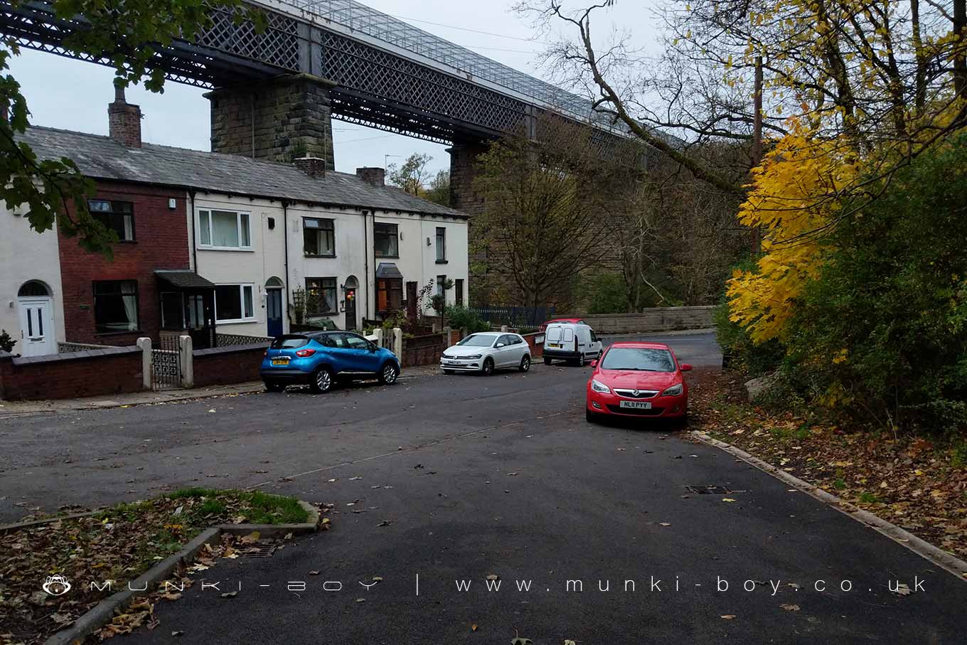
The area retains some historic buildings, including Darcy Lever railway viaduct, a striking structure that once carried the Bolton-Bury railway line. Although the railway is no longer in operation, the viaduct remains a significant local landmark.
Today, Darcy Lever is primarily a residential area with good transport links to Bolton and Manchester. It offers a mix of suburban and semi-rural living, with a balance of housing, local amenities, and access to outdoor spaces.
Created: 12 February 2025 Edited: 3 April 2025
Darcy Lever
Local History around Darcy Lever
There are some historic monuments around including:
Roman road at Bottom o' th' Knotts BrowWardley Hall moated site, WorsleyAffetside Cross at Affetside 75m north west of the Pack Horse InnStone circle, ring cairn and two round cairns on Cheetham Close.


