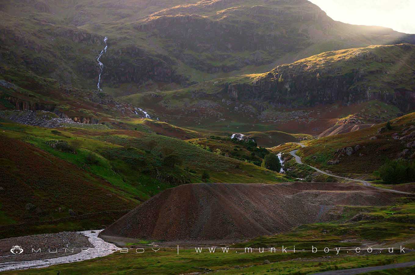
Coniston Coppermines Valley by munki-boy
Coniston Coppermines Valley
Coniston Coppermines Valley is in The Lake District National Park in England.
Coniston Coppermines Valley runs Northwest from behind and above Coniston and is one of the best places for those with an interest in industrial archaeology, especially as it is situated in such scenic splendour. A slightly steep ascent for the casual walker but it is well worth the trip.
The valley has been mined for copper since ancient times and contains overground ruins and remains of many old buildings and structures, while below ground are deep and dangerous mines that can still be explored by those with experience. Casual explorers beware - there are deep open stopes and mine shafts around. In my experience they are mostly fenced but care should be taken.
The valley is branched at the upper end with mountain streams and spectacular waterfalls after rain. There is good walking for those who wish to wander around the valley floor and good routes of ascent for the local peaks for the more ambitious.
One of the first things you will encounter heading up into the Coppermines Valley from Coniston is the old Miner’s Bridge that spans Church Beck above a waterfall. Reasonable to look at in dry weather, extreme after heavy rain.
There is an old mine tunnel entrance at the foot of the falls, tucked away out of view from above. Accessible when the waterfall is not at full force, the level goes for some distance alongside the beck following a geological fault line, the fault plane being used for the left wall of the tunnel. The purpose of this old level is unknown. It is too far from the upper mines to be of use and is presumably an early trial.
Created: 27 August 2016 Edited: 29 November 2023
Coniston Coppermines Valley
Coniston Coppermines Valley LiDAR Map
please wait...
Contains public sector information licensed under the Open Government Licence v3.0
Local History around Coniston Coppermines Valley
There are some historic monuments around including:
Two bloomeries, 340m and 570m NNE of Hoathwaite Landing on Coniston WaterThe Langdale Boulders, two prehistoric rock art sites in Great Langdale 250m south of Harry PlaceCairns on Foul ScrowGreenburn copper mines and associated ore processing worksSettlement on The HawkCairns and enclosure on The Rigg, BanisheadMickleden Beck prehistoric cairnfield and field system, funerary cairn and a medieval dispersed settlement centred 840m south west of Pike of StickleTwo rifle ranges on Silver HowSeven Intakes medieval dispersed settlement 210m south west of Fell FootCastle Howe hillfort, Little LangdaleYewdale lime kiln 380m south west of Low YewdaleLong Intakes medieval dispersed settlement and associated kiln 370m south of Fell FootDike, circles and cairns on Bleaberry HawsRoman road up Wrynose PassRifle Range target and Marker's Hut, 150m north west of Blea MossConiston copper minesRoman road in Wrynose BottomCairnfield 210m south west of Throng Moss ReservoirMoot mound at Fell Foot Farm, Little Langdale.


