Coniston by munki-boy
Coniston
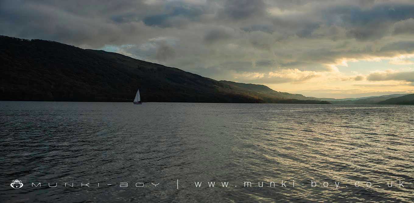
Coniston is in The Lake District National Park in England.
Coniston is a Village in the Lake District. The Old Man of Coniston rises dramatically behind the houses in the centre of the village. Coniston is a good place to start, for walking and climbing in the Lake District. It is also the place to start your walk if you want to investigate Coniston’s Copper Mines and Tilberthwaite Slate quarries.
In 1871 John Ruskin bought Brantwood, just across Coniston Water from Coniston Village. He lived there from 1872 until his death in 1900. He is buried in St Andrew’s Church graveyard and his grave is marked with a large carved cross, made from green slate, from the local quarry at Tilberthwaite.
The Ruskin Museum’s Ruskin Gallery holds the most comprehensive display in the Lake District about the life and work of John Ruskin.
Coniston is also famous for John Campbell setting the water speed record in Bluebird on Coniston Water in 1955. Campbell was killed attempting to regain it again in 1967. He is buried in the churchyard and there is a memorial to him on the Village Green.
Coniston Water is the location for Arthur Ransome’s book “Swallows and Amazons”. There is information about Arthur Ransome’s inspiration for “Swallows and Amazons” in the Ruskin Museum.
The Monk Coniston Estate, owned by Beatrix Potter, stretches from Coniston to Skelwith Bridge. It includes the famous beauty spot, Tarn Hows, now owned by the National Trust.
The National Trust’s Steam Yacht Gondola runs cruise’s on Coniston Water, with stops at Brantwood and Monk Coniston.
Created: 27 November 2016 Edited: 29 November 2023
Coniston
Walks in Coniston
Local History around Coniston
There are some historic monuments around including:
Round cairn, 460m south west of Thompson GroundCairnfield 210m south west of Throng Moss ReservoirSeven Intakes medieval dispersed settlement 210m south west of Fell FootConiston copper minesCairns on Foul ScrowDike, circles and cairns on Bleaberry HawsLong Intakes medieval dispersed settlement and associated kiln 370m south of Fell FootRoman road in Wrynose BottomCairns and enclosure on The Rigg, BanisheadTwo bloomeries, 340m and 570m NNE of Hoathwaite Landing on Coniston WaterRifle Range target and Marker's Hut, 150m north west of Blea MossGreenburn copper mines and associated ore processing worksYewdale lime kiln 380m south west of Low YewdaleMoot mound at Fell Foot Farm, Little LangdaleStony Hazel finery forgeCastle Howe hillfort, Little LangdaleRoman road up Wrynose Pass.


